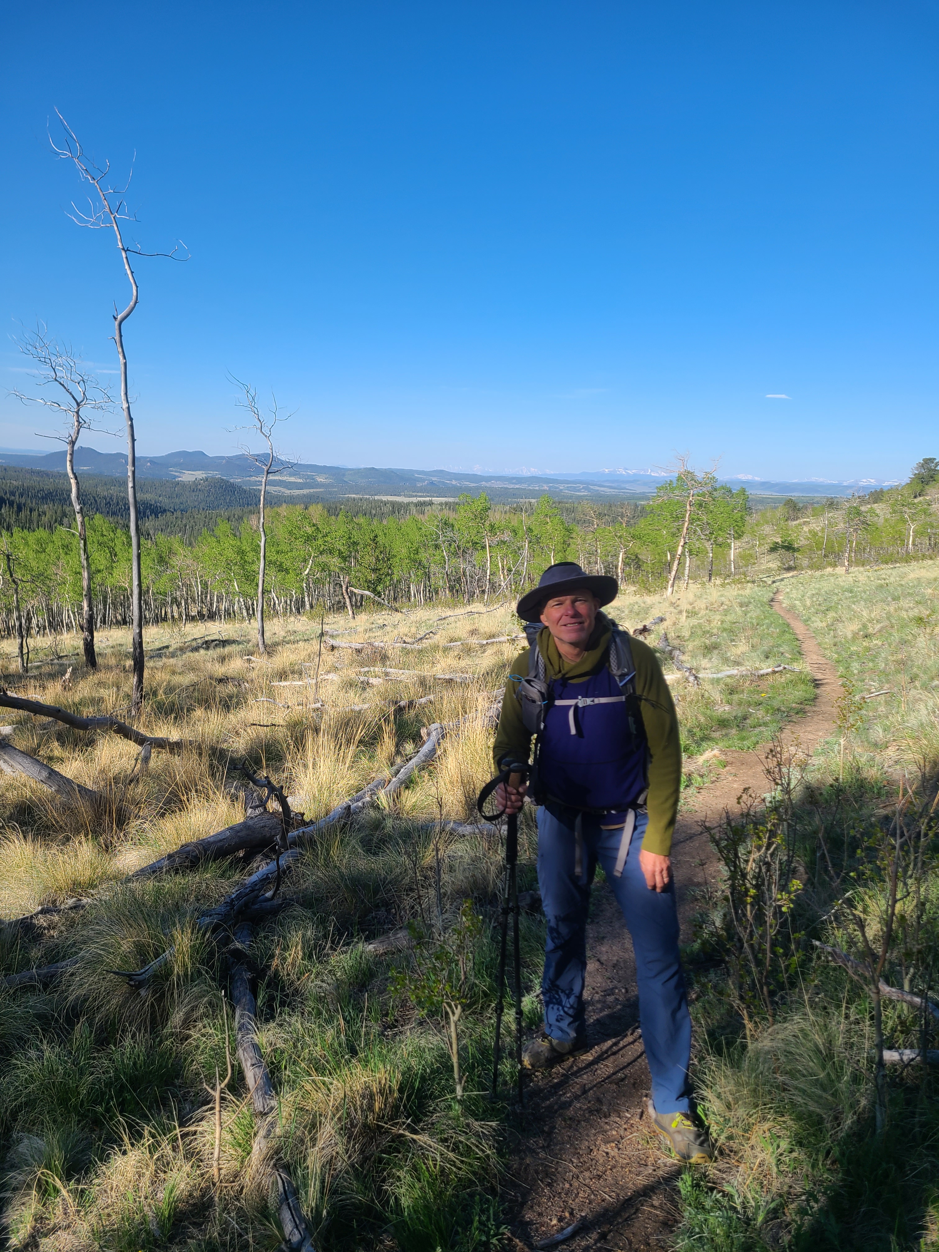
I worked my regular graveyard job on Saturday night, and met by buddy Art right after 7:00 am in downtown Steamboat Springs the next morning. We had arranged to meet our shuttler Erica at Kenosha Pass around 11:00 am that day. I had hiked the first three segments of the Colorado Trail this spring solo and was really looking forward to Art joining me to hike Segments 4 and 5. The summer before Art & I had summited Mt Massive and spent a couple nights backpacking along Segment 10. We crossed paths with several super friendly thru-hikers, and that trail vibe that they all seemed to share is what inspired me to hike the Colorado Trail this summer.
We were chatting away when we reached I-70 at Silverthorne, and I habitually turned onto I-70 east headed towards the Eisenhower Tunnel. Almost immediately I realized I needed to go west toward Breckenridge, but there was no turning around once we headed up towards the tunnel. By this time in our friendship Art was fairly accustomed to my occasional wrong turns on the road, and I silently hoped my navigation would improve once we got on-trail. I hadn’t been over Guanella Pass in probably 30 years, and the new route to Kenosha turned out to be a nice detour. Erica had shuttled me on my last trip to the CT a couple weeks earlier, and I knew Art would enjoy meeting Erica, her family, and their little dog Muddy, aka Joe Bitin’.
We parked my old Dodge pick-up at Kenosha Pass along Highway 285 and Erica dropped us off at the the Rolling Creek trailhead near Bailey. The plan was to hike around 9 miles through the Lost Creek Wilderness the first night and gain around 2000 feet in elevation, which was a good challenge for us as fairly new backpackers. The snow had just melted off this section of trail which left the creeks full and the surrounding woods green & lush. It was early June and the thru-hiker bubble was still weeks away, so we had the trail almost all to ourselves on a sunny Sunday afternoon. Not yet exhausted but ready to call it a day, we reached the 9 mile mark where the CT meets the Brookside-McCurdy trail and started to look for camping. We encountered another backpacker who pointed us to the campground while advising us to avoid it due its popularity with both party-goers and bears. We went there anyway and ended up having this fairly large campground just past the creek all to ourselves. We did heed his advice on the bears, and thankfully the trees here were spread out just enough for a good two-tree bear hang. As I hiked further down the trail this summer I learned that many Colorado forests were not ideal for bear hangs.
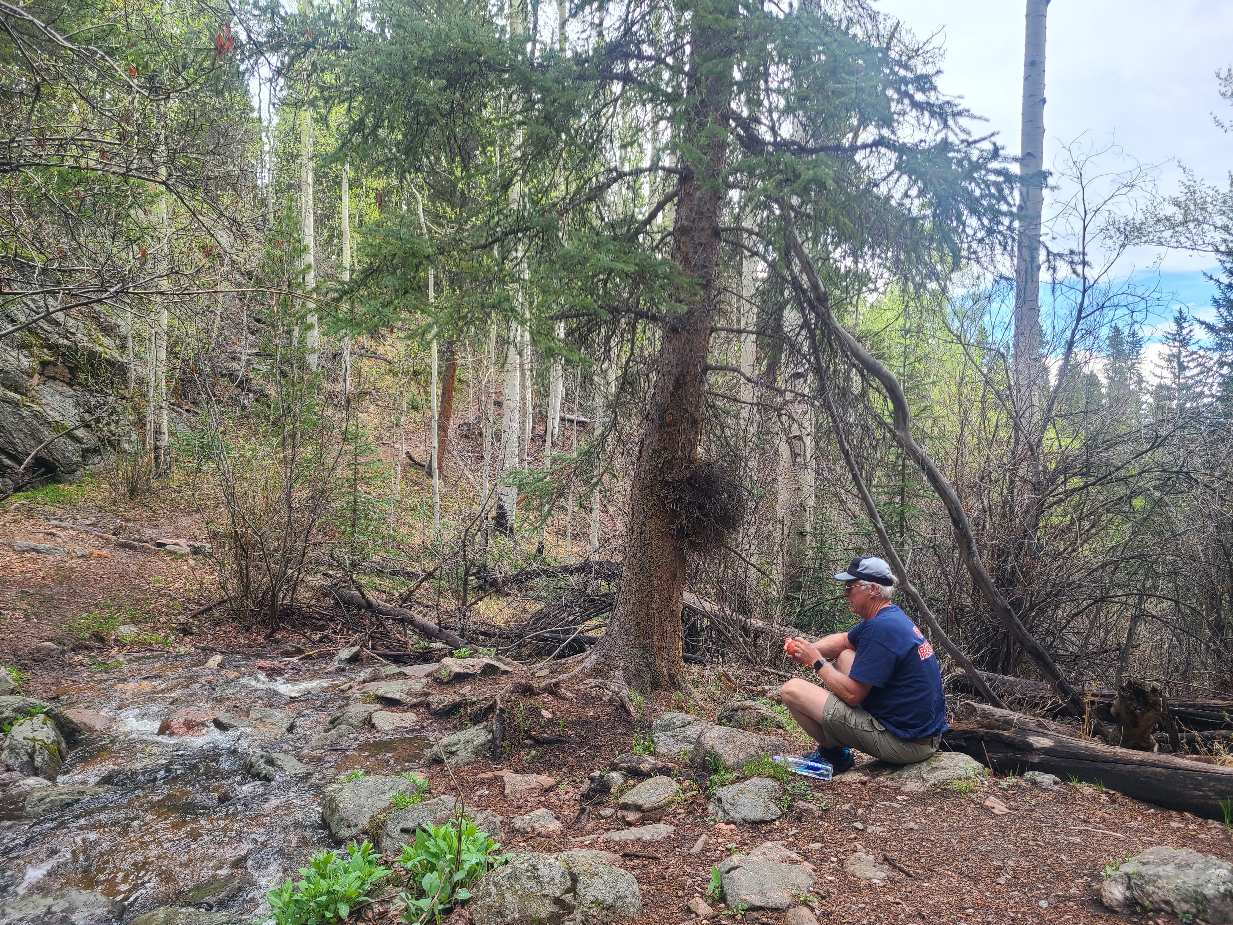
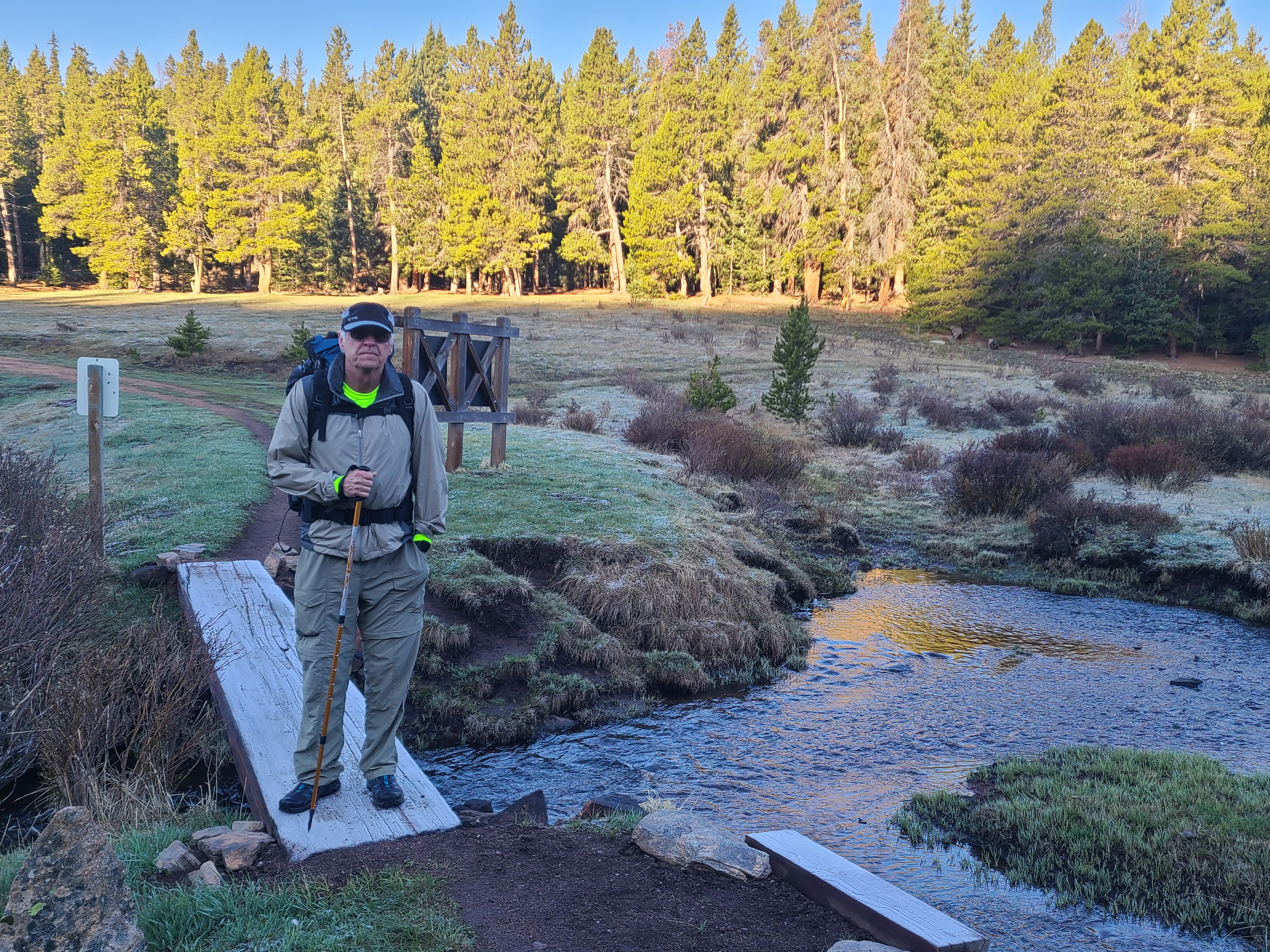
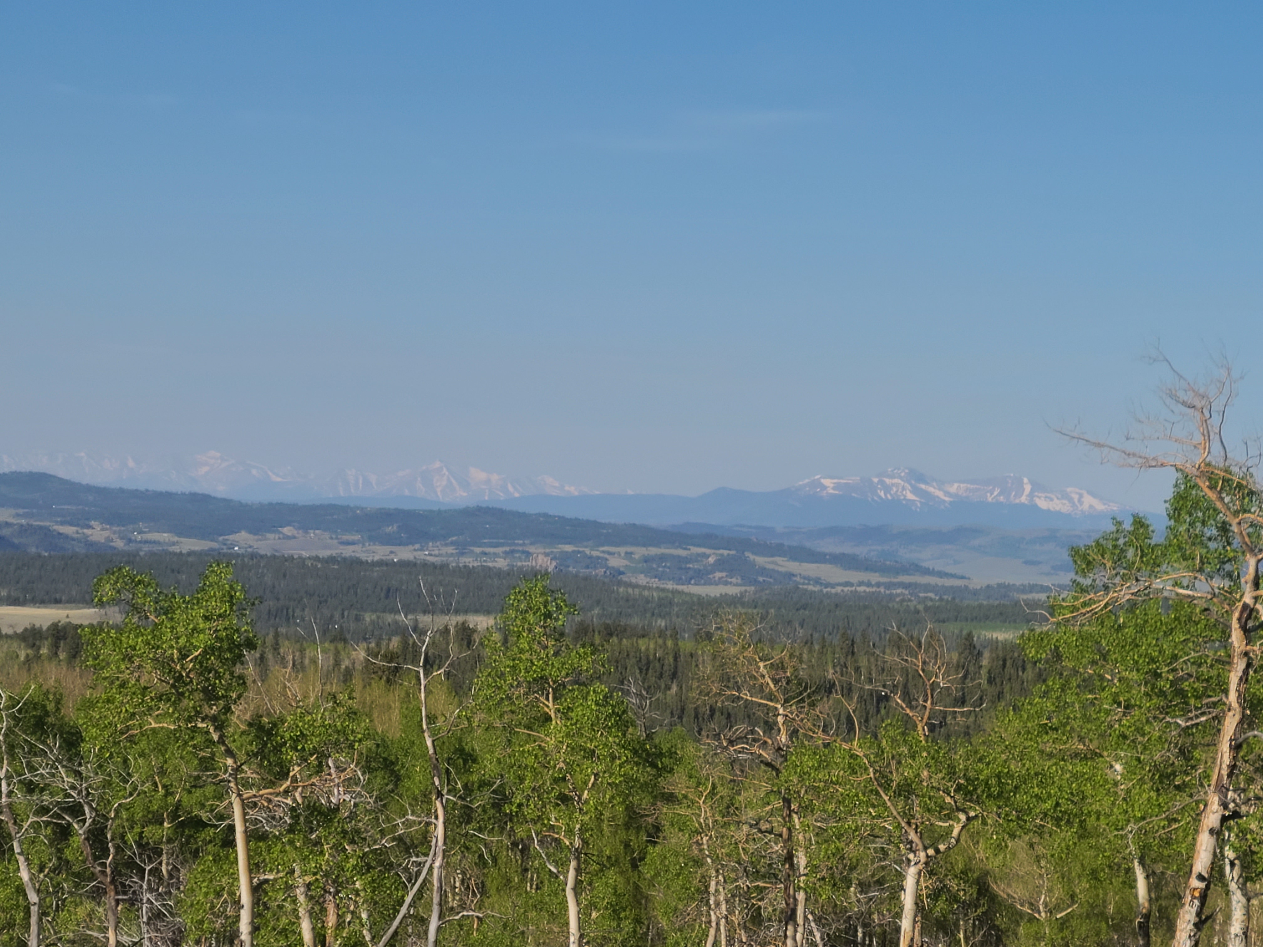
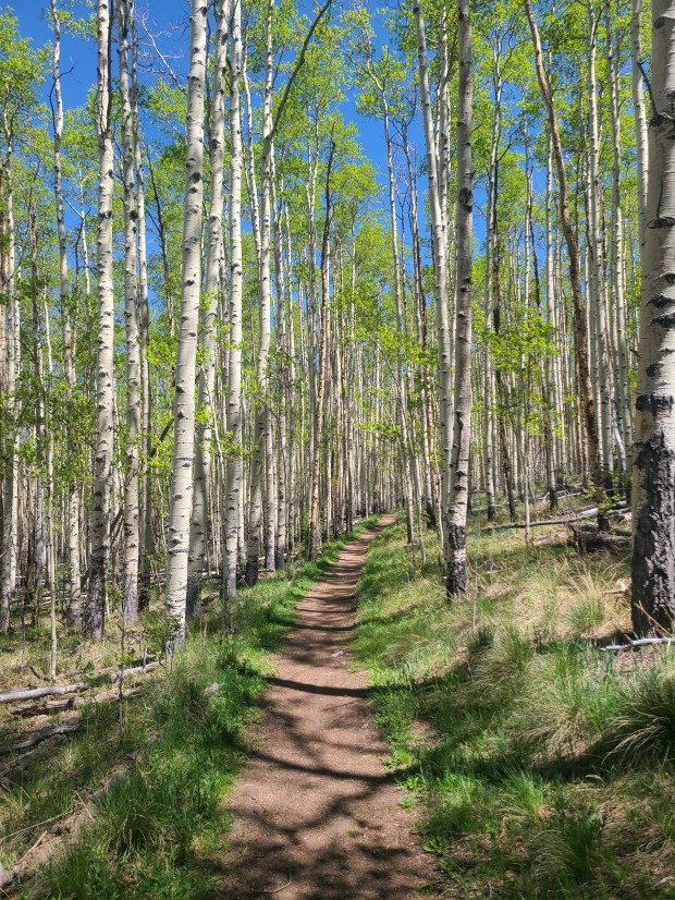
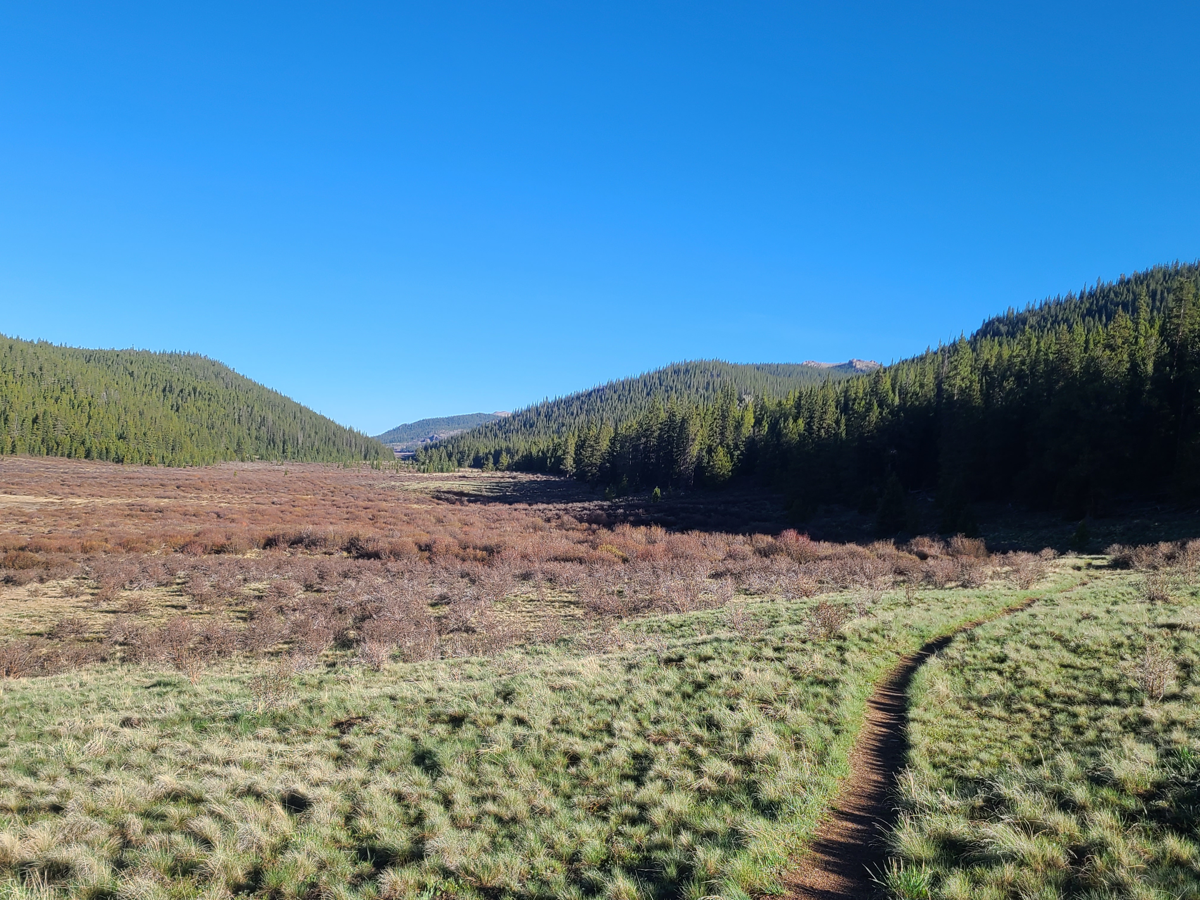
The next morning we started our hike alongside the creek and the edge of a really pretty 6-mile long meadow. The meadow seemed to go on forever, and it was nice to get back into some gentle up and down trail through the woods as we re-entered the Lost Creek Wilderness. After about 12 miles for the day we found a small established campsite just beyond a creek where we could see an impressive Aspen forest waiting for us the following morning. The aspen also worked great for a two-tree bear hang, but that was my last decent bear hang on the CT.
We hiked around ten miles our last day, most of it through aspen forests. As pretty as this area is now, it must be absolutely spectacular in the fall. There was a bit more up and down climbing than we had expected. I had been using the Colorado Trail Foundation’s Databook which is pretty essential and helpful for navigating the trail, but I was learning that the trail often has some pretty decent descents and climbs that you can’t predict by just looking at elevations of consecutive waypoints. I was new to using the Guthook app and hadn’t yet discovered the elevation profile feature. But the bigger lesson was to just enjoy the hike & what was to be discovered around the next bend; and get my head out of that little book & the miles on my phone. Sorry about that Art!
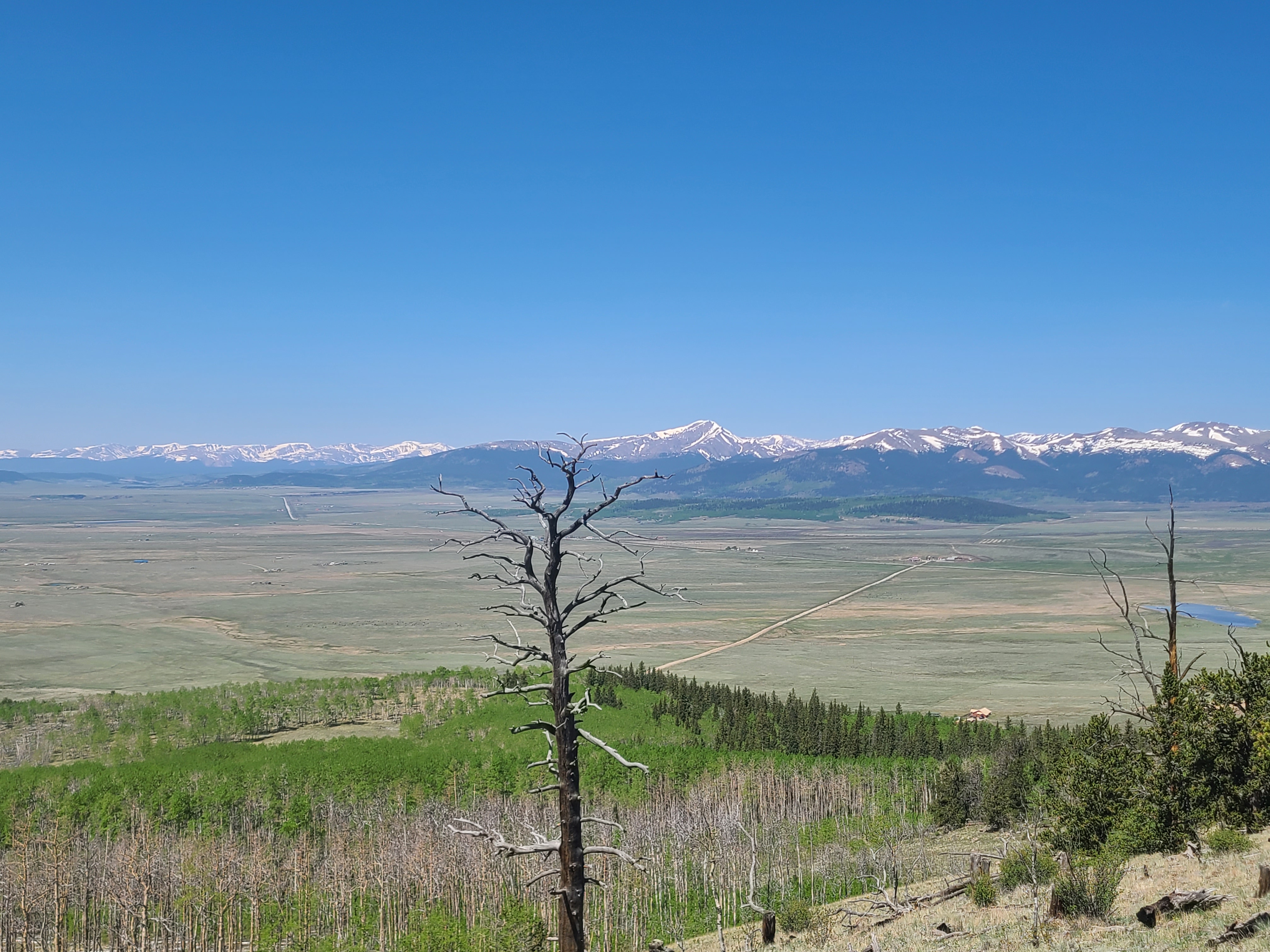
We were rewarded with great views of South Park after our last climb and started to encounter some other happy hikers. The most fun were a group of elderly ladies from a local hiking group who were fearlessly climbing up the sometimes rocky trail as we descended towards Kenosha Pass. I hoped that I would have that drive & ability if and when I reach their age.
We had covered 30 miles on this trip and I was now up to mile 71on the Colorado Trail. We celebrated this week’s adventure at Jefferson Market with their highly recommended cheeseburgers, a giant soda and some ridiculous salted nut roll fudge. I apparently left my obsession with details back on the trail as I forgot to fuel up before Hoosier Pass and we had to coast on fumes from gasless Alma to Breckenridge.