I completed Segments 1-5 on the Colorado Trail over a few weekends in May and early June. Then I skipped ahead to hike Segments 10 and 11 up to around CT mile 185 while waiting for the snow to melt in Segments 6 and 7. Georgia Pass and the Tenmile Range were now accessible so my plan for this trip was to hike both segments from Kenosha Pass to Copper Mountain. I worked my graveyard job Sunday night as usual, then drove to Goldhill Trailhead to meet my shuttler Erica. This was her third time shuttling me this spring, and I while I was happy to see Erica and her family again I was a little sad this would be my last shuttle trip with her. I had been watching the weather closely and knew a thunderstorm was due to hit early in the afternoon.
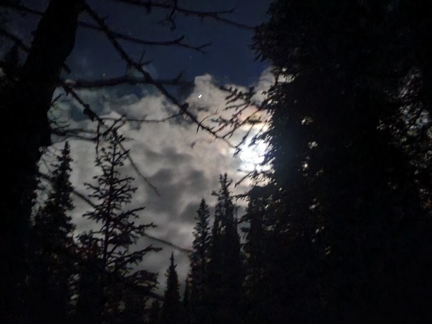
Erica dropped me at Kenosha Pass and not long after starting my hike nature called me to do some business off trail. I had spotted a tree far enough away from the trail to use as a landmark, but when I finished I spent probably 20 minutes finding my way back to the trail. I was still pretty new at this; my Guthook app let me know the trail was close by but I just couldn’t see the it. From that point on whenever I walked off-trail I took a quick compass bearing of my direction of travel off-trail from my Instinct watch, and also pointed my poles back towards the trail when I stopped. I was a bit frustrated knowing I was short on time with the impending storm. I had hoped to hike at least 10 miles that day, but only made it around 6 miles to Jefferson Creek when the rain started. The rain got heavy right as I crossed the road, and I decided to make camp at the next decent site. I found an established spot right away and thankfully stopped there as the rain continued for several hours that afternoon. I was especially happy to have stopped when I could hear thunder and see the lightning flashing up the hillside on the next day’s climb. Thankfully my Xmid tent kept me dry overnight.
The skies cleared a bit overnight and I started out before daylight the next morning to try and make up some miles. I had to cover 46 miles over 4 days / 3 nights, plus a planned side trip to Breck. While I made the right choice to set up camp ahead of a pretty big storm on the first night after just 6 miles, I would need to hike at least 20 miles today to stay on track. Up to this point I had never carried a backpack more that 14-15 miles in a day.
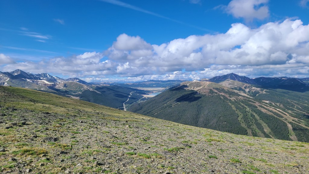
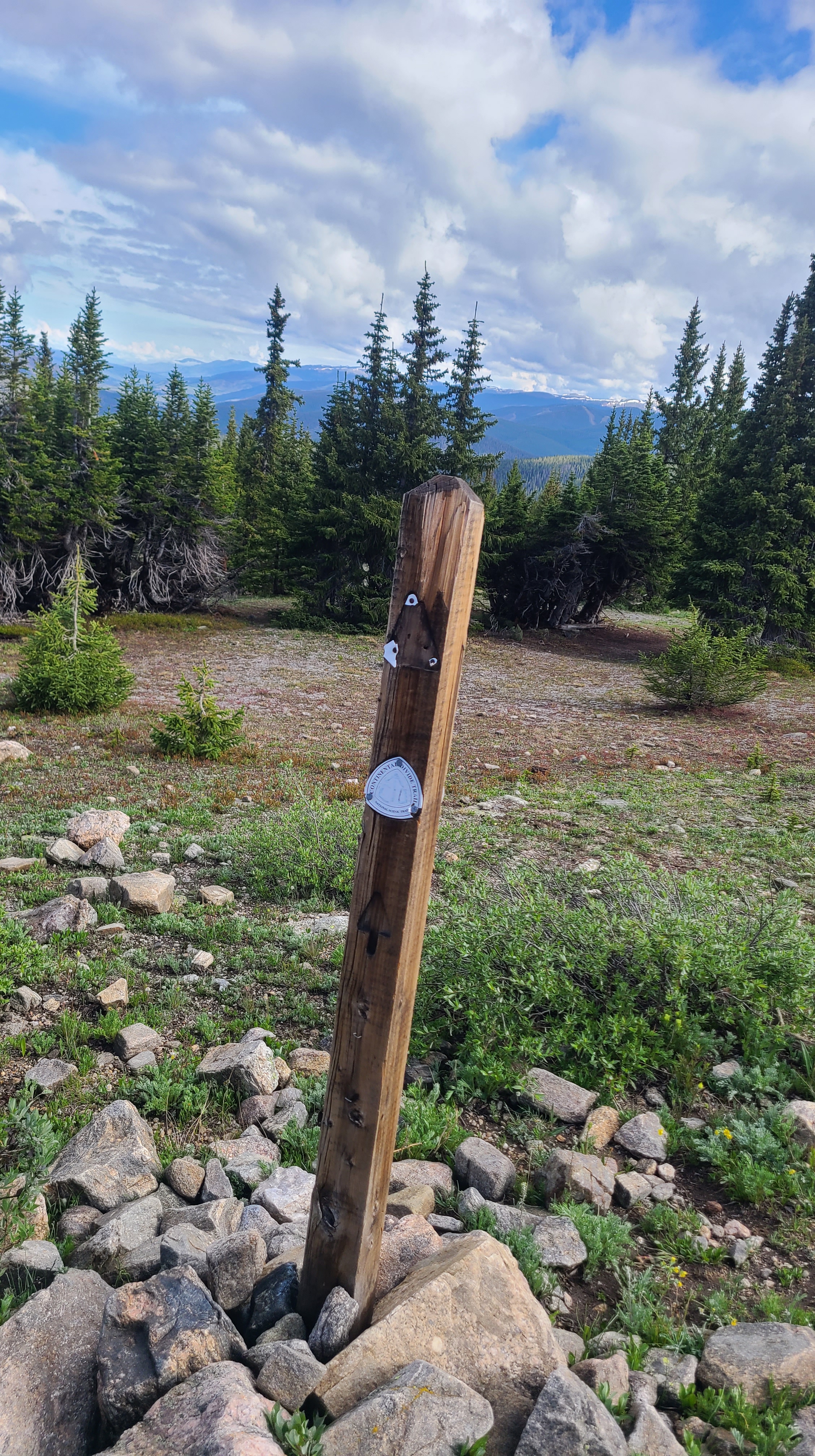
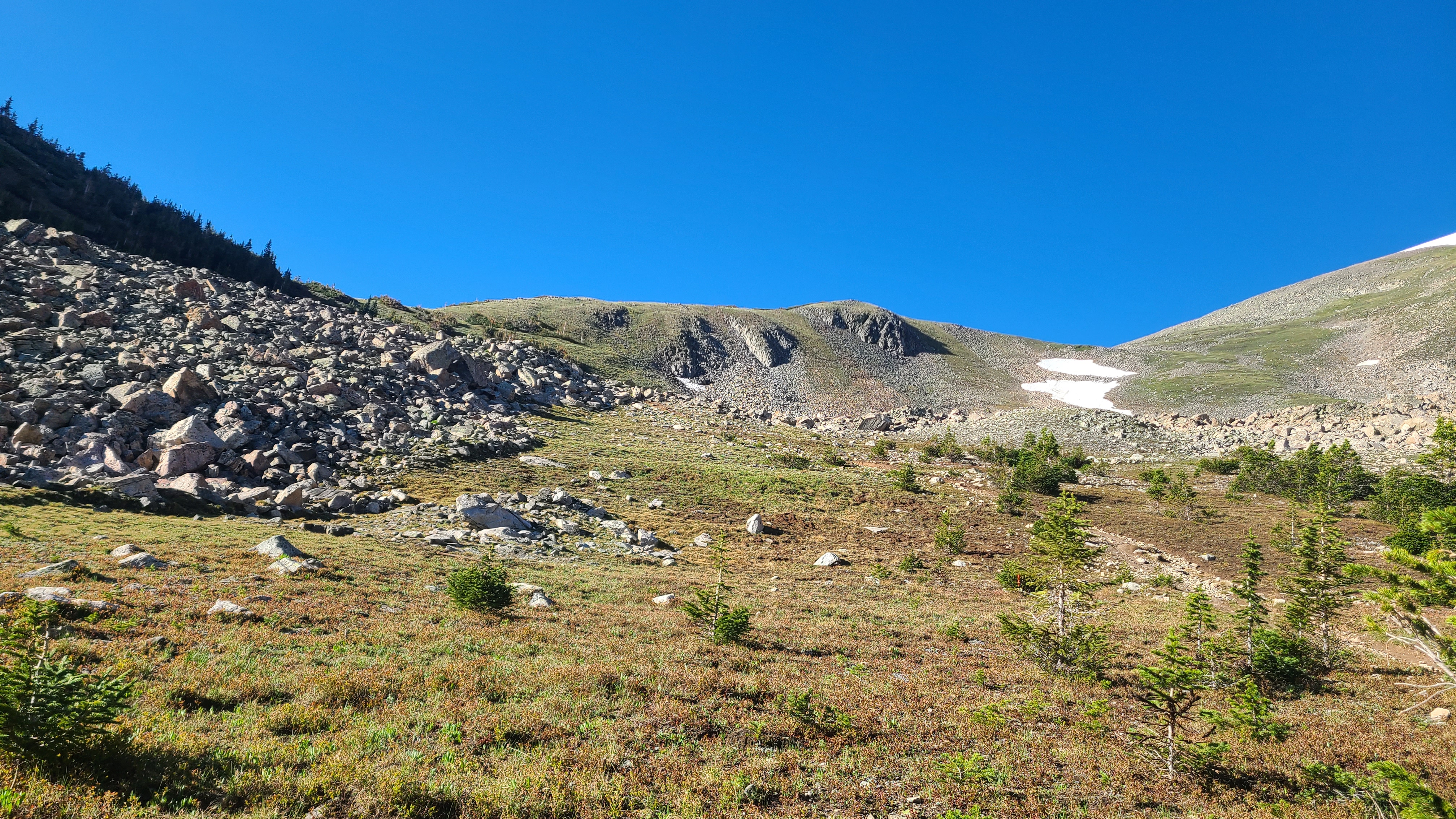
I could see some fresh snow higher up on the trail as I started towards Georgia Pass. Not far up the trail I passed a few other hikers still in camp drying out their tents from yesterday’s storm. I had heard them passing my camp during the storm late in the afternoon before while I was already cozied up inside my tent. I had to climb about 2000 feet over the first 6 miles, but I was excited finally get to Georgia Pass and kept a good pace that morning. I leap-frogged with a handful of other friendly CT thru-hikers along the way which seemed to help with the climbs. It looked as if I was still ahead of the CT bubble. As I reached Georgia Pass I was rewarding with the view of South Park behind me and the Gore Range ahead of me as the trail turned north towards Breckenridge and connected with the Continental Divide Trail.
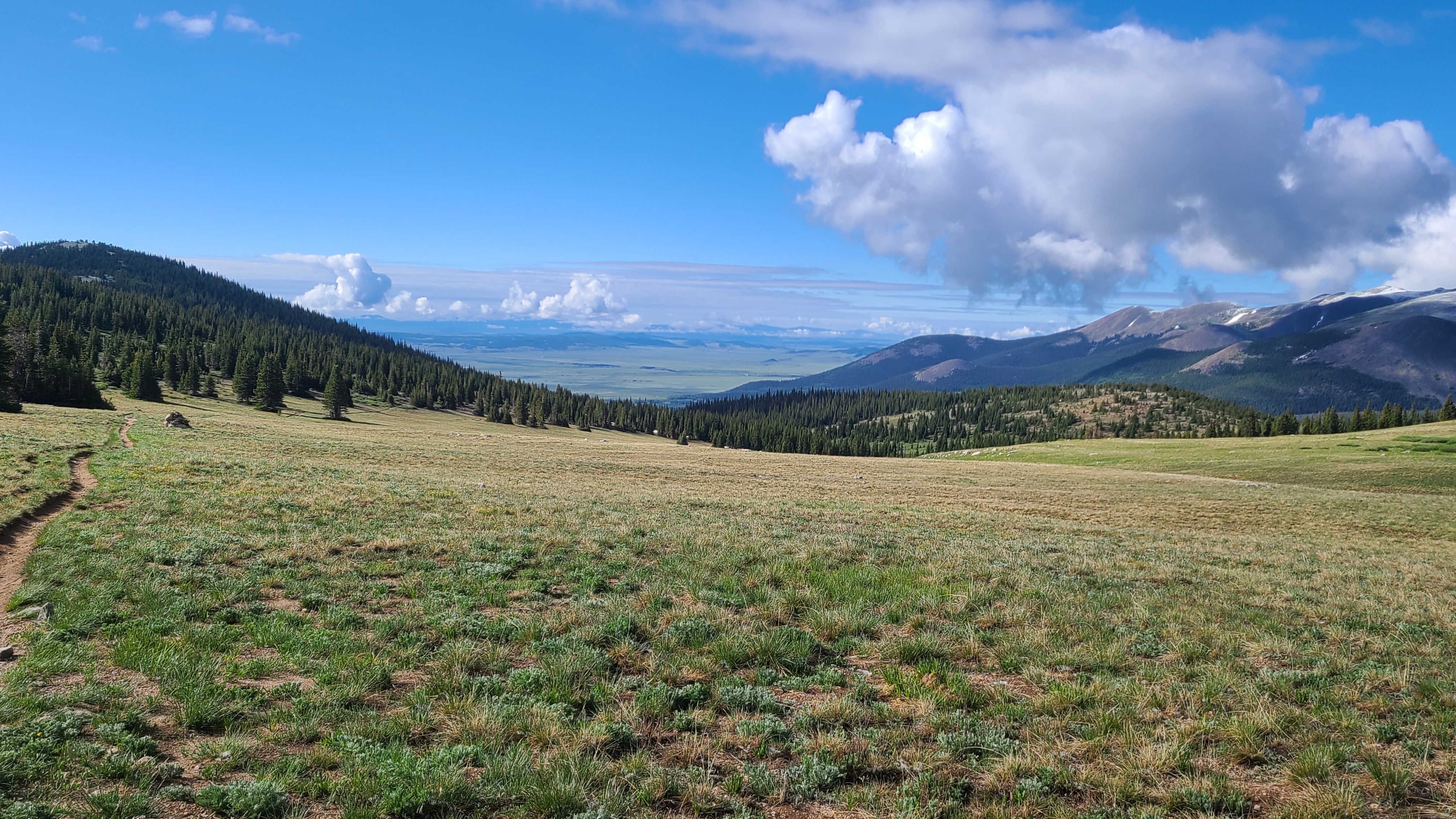
I saw a surprising number of NOBO CDT hikers that day. These folks were my new idols, and it was cool how they seemed as excited for me on my CT hike as I was for them on their CDT journey. I imagined this is what a mite hockey player must feel like when they get to play a game during intermission at an NHL game, and get high fives from their heroes as they leave the ice. I stopped for a long lunch at the Swan River after about 13 miles and filtered water to carry over the next 9-mile dry section. The trail gains about 1000 feet over the next two miles towards Keystone. There was another unexpected climb after that through a beetle kill area. I visited with nice pair of CDT hikers called Fire Hazard & Spider Monkey alongside the trail while they contemplated whether to carry on that afternoon towards Grays Peak, the only 14er on the CDT, in the wake of yesterday’s big thunderstorm.
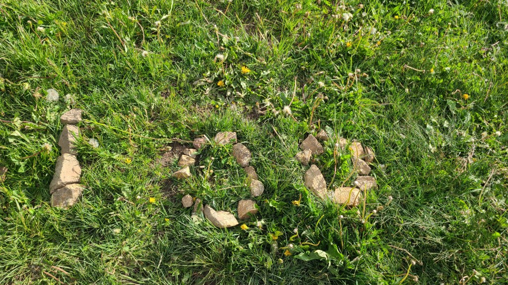
I had done my first 20-plus mile day, but still had another mile left to reach the next water. I felt ok, but some much younger fast-moving CDT hikers let me know I didn’t look so great. One thankfully followed up with “just another half hour to go, you got this!”. I finally crossed a marshy gully with a little creek trickling just enough to fill up my CNOC. It was fun to see “100” written out on some nearby stones. The CT Databook let me know there was a nearby campsite on the ridge ahead, and I was grateful when some others already camped there pointed me to a flat spot nearby. I was close to overjoyed to have covered 22 miles, by far my longest day on-trail so far. The miles plus the vibe I had gotten from CDT hikers and my fellow CT hikers that day had me feeling like maybe I belonged here after all.
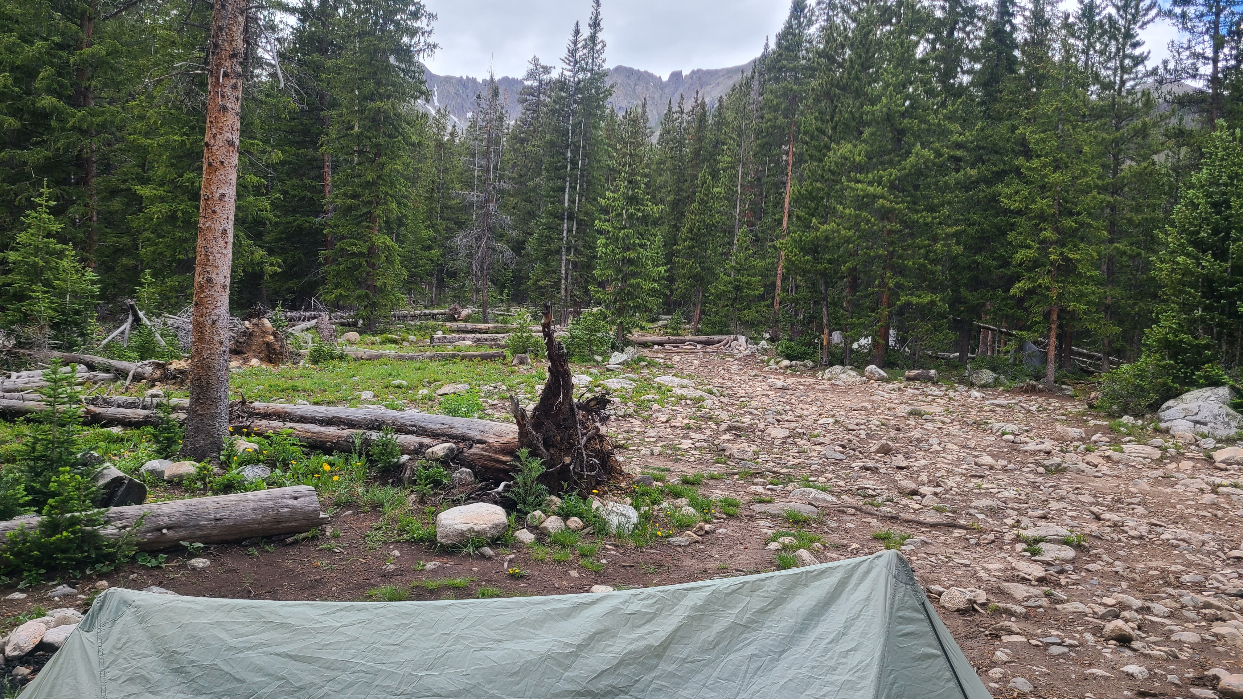
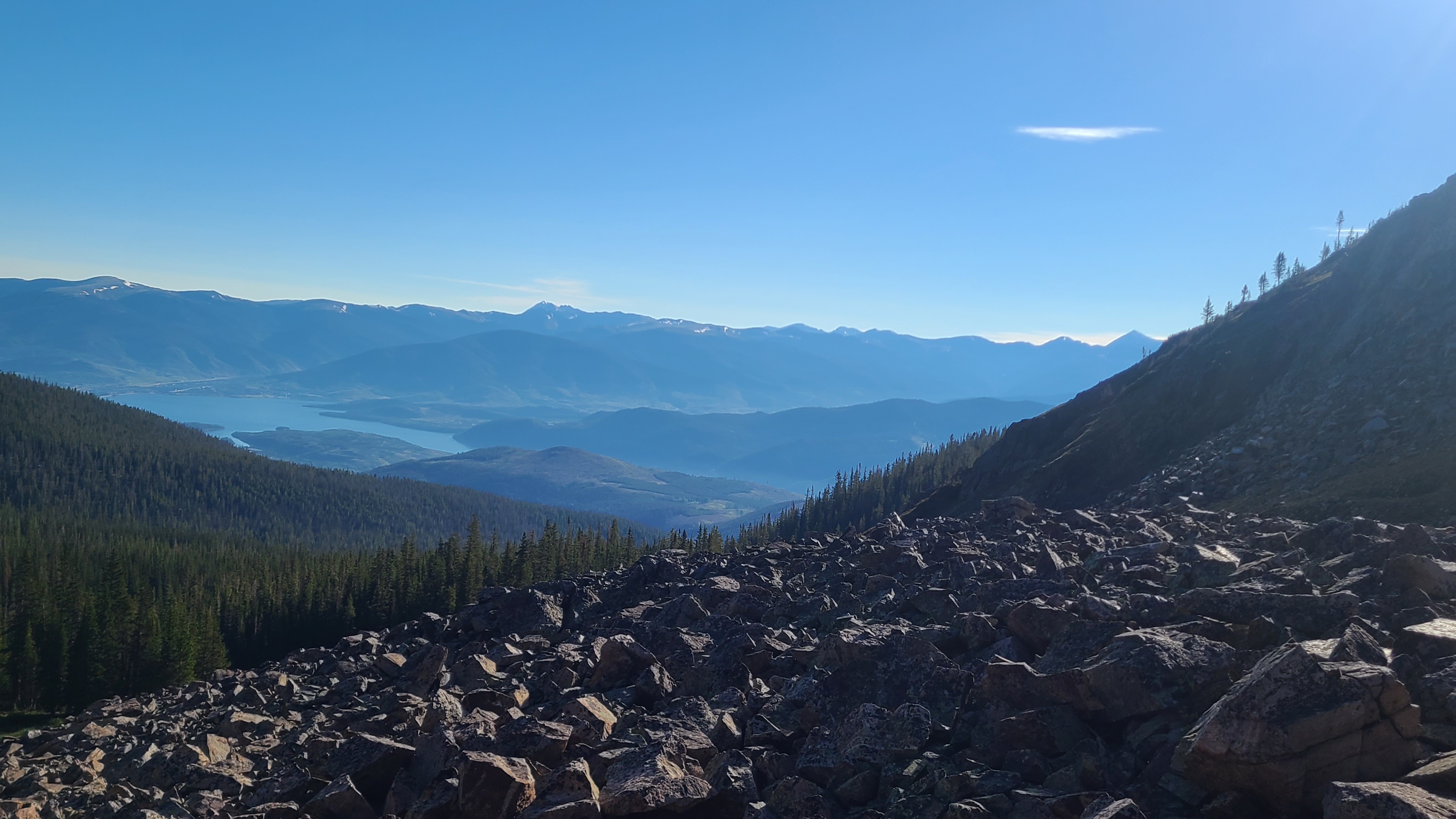
I had a pretty easy 4-mile hike the next morning towards my truck at the Goldhill Trailhead. I had left myself a couple cold sodas in my Yeti and was more than ready for one. I drove to Breck for a big breakfast, then headed back to Goldhill to begin Segment 7. I needed to cover an additional 5 miles with around 1500 elevation gain to camp by Miner’s Creek. I passed a couple more CDT hikers along the way and met one who even carried a Mariposa backpack just like mine; it seemed like most of the CDT hikers carried the higher-end Hyperlite. I kind of laughed at myself as I realized I was sizing up the hikers I met by the gear they carried. In the weeks to come I would learn that a hiker’s gear or even the size & shape of the hiker had little to do with their ability or past experience on-trail. I reached my campsite in the early afternoon and again got lucky getting set-up and inside my tent just ahead of the next thunderstorm.
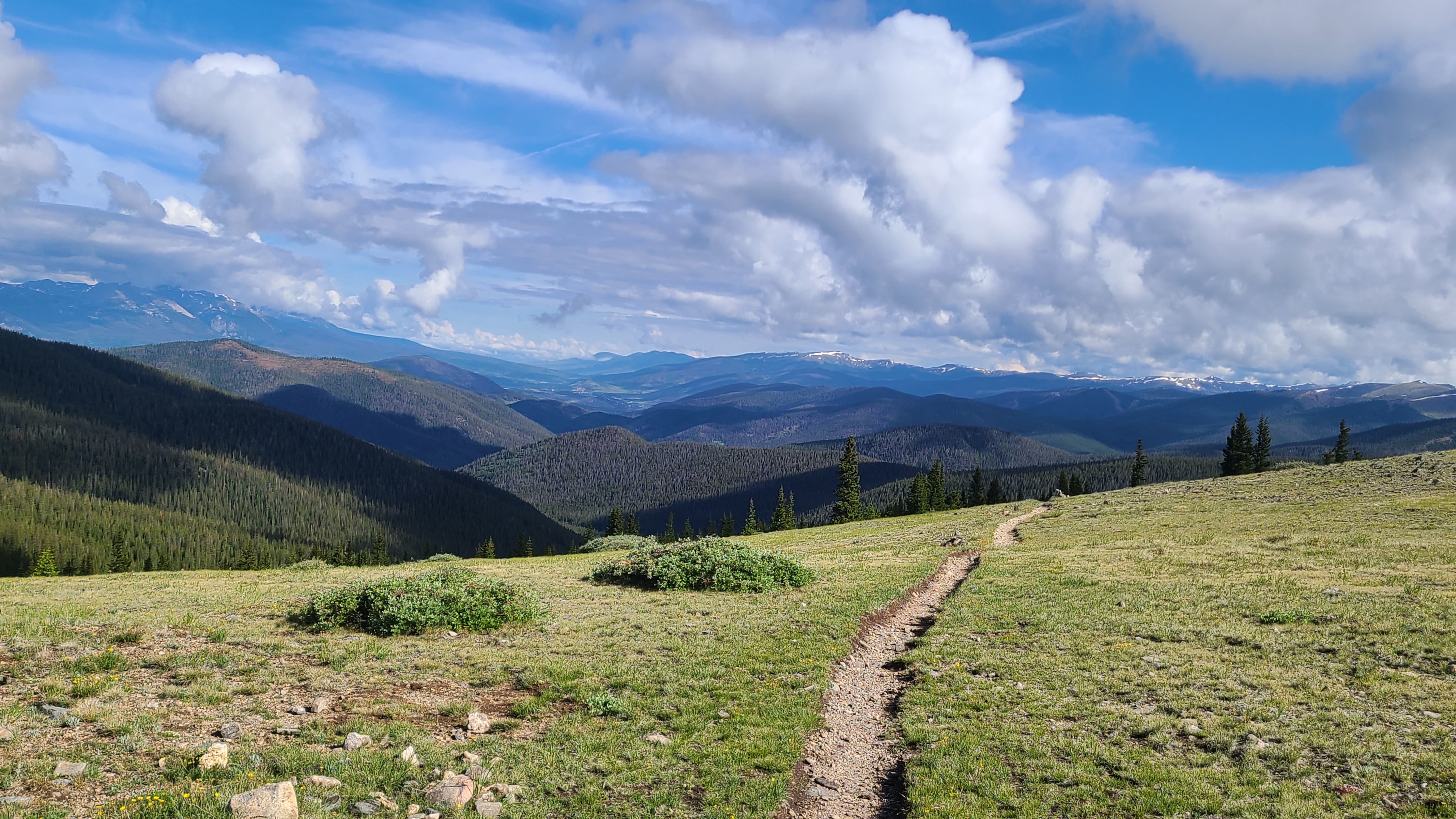
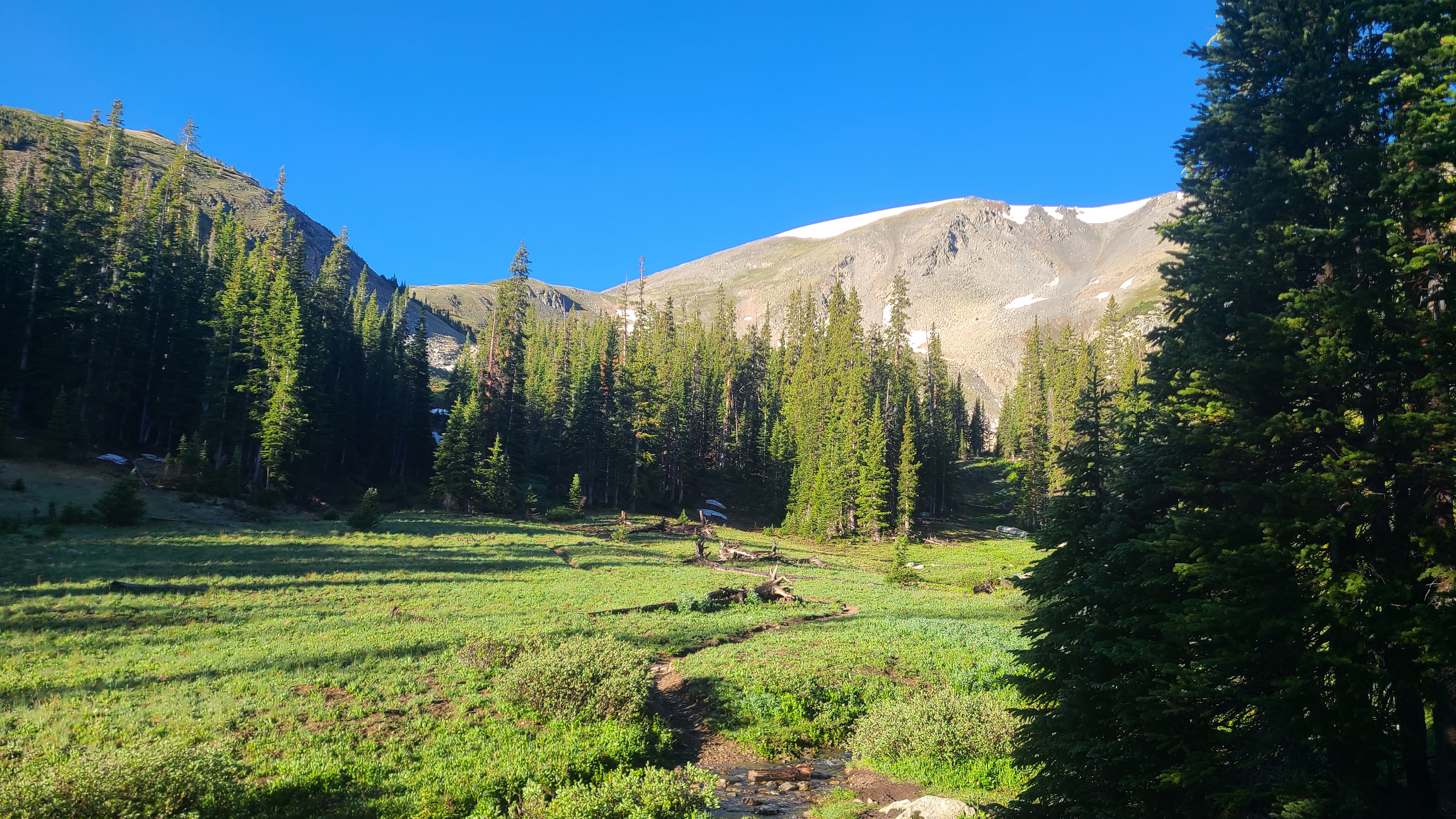
I had left myself 8 miles to go on Wednesday to finish out this trip, with a 2000 foot climb up & over the Tenmile range in the first 3 miles. I struggled as the trail relentlessly continued up through woods. I could see some jagged high peaks ahead and wondered how I could ever get over. As I got closer to treeline the route became more clear, and there were even some scenic stepping stones to help me up the first peak.
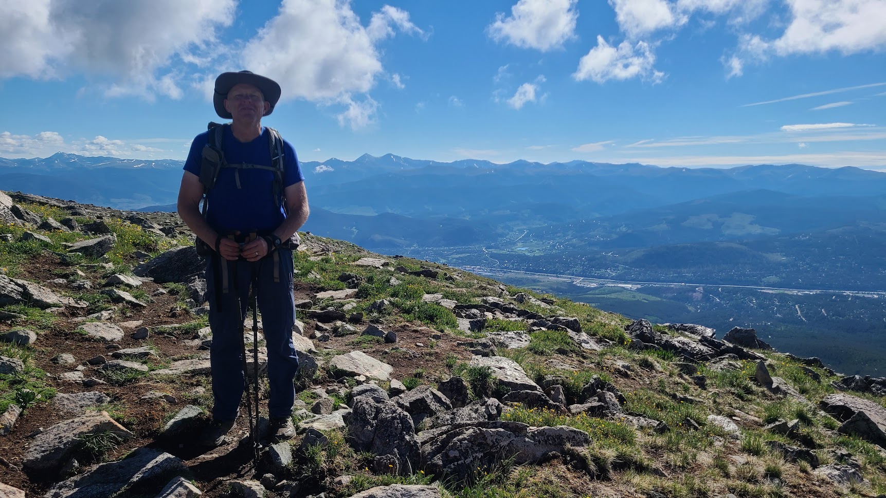
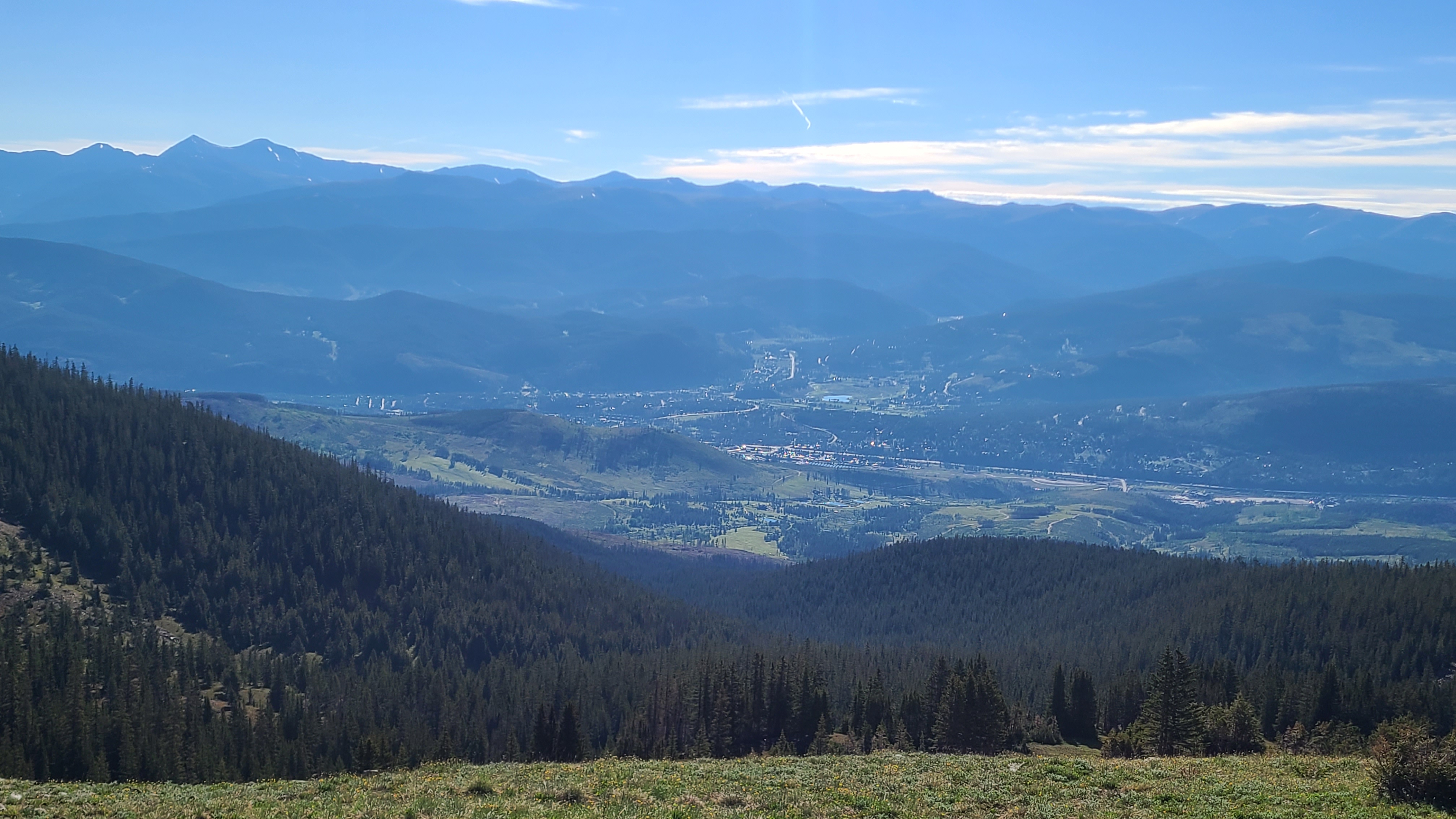
I could then see Breck down below as continued up toward the top of the ski area. This was not easy hiking, but the worst was behind me and the views were simply spectacular. I met a woman hiking with her dog as I crossed over the Tenmile range who had been hiking between Copper and Breck daily every hiking season for the past 20 years. The trail wound its way though a rocky field on the ridge, and I wondered where the hikers on the next higher peak were headed. As I started down I saw one of them sprinting hard down the steep hillside with a hang glider on his back then take off, somehow managing to avoid dragging his body on the ground by a foot or less.

As hard as the climb up had been, the descent down towards Copper seemed longer and steeper. I didn’t envy the CDT NOBOs I crossed on their way up. I was surprised to see CT hiker called Springer I had met in the last segment who had decided to flip over to Copper and hike back towards Breck. I finally made it down to Highway 91 and walked across towards Copper to take the free Summit Stage back to Goldhill. I’ve driven over Fremont Pass dozens of times to visit my son in Leadville; I often looked up that crazy steep mountainside wondering how CT hikers could possibly make it up & over. Now I knew.
