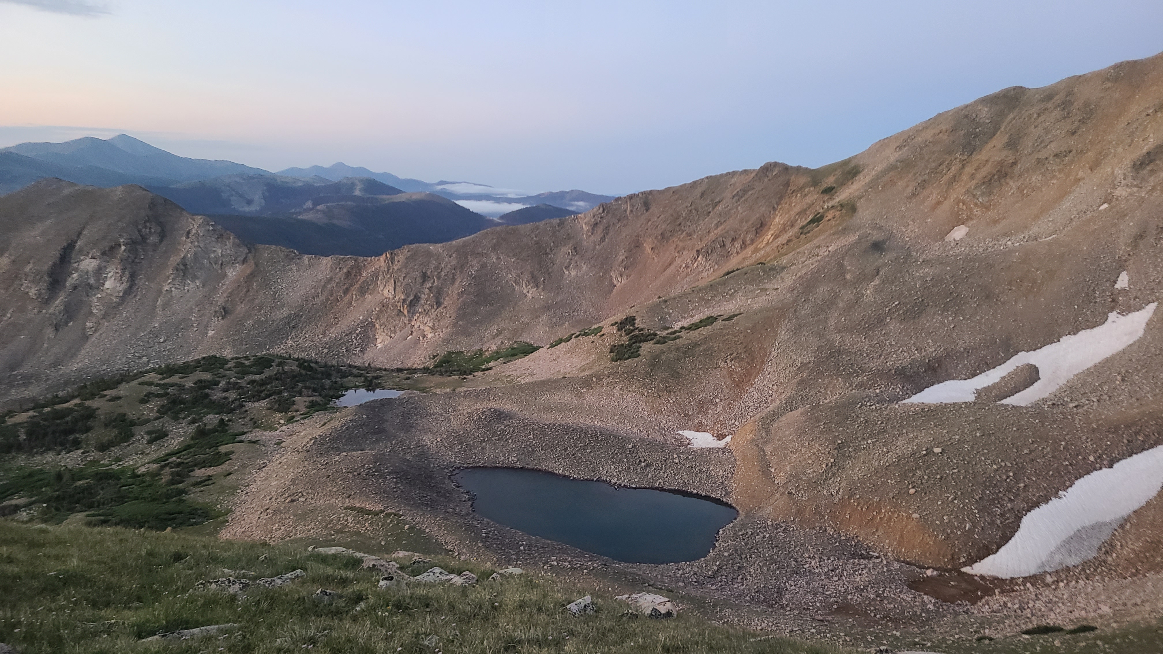
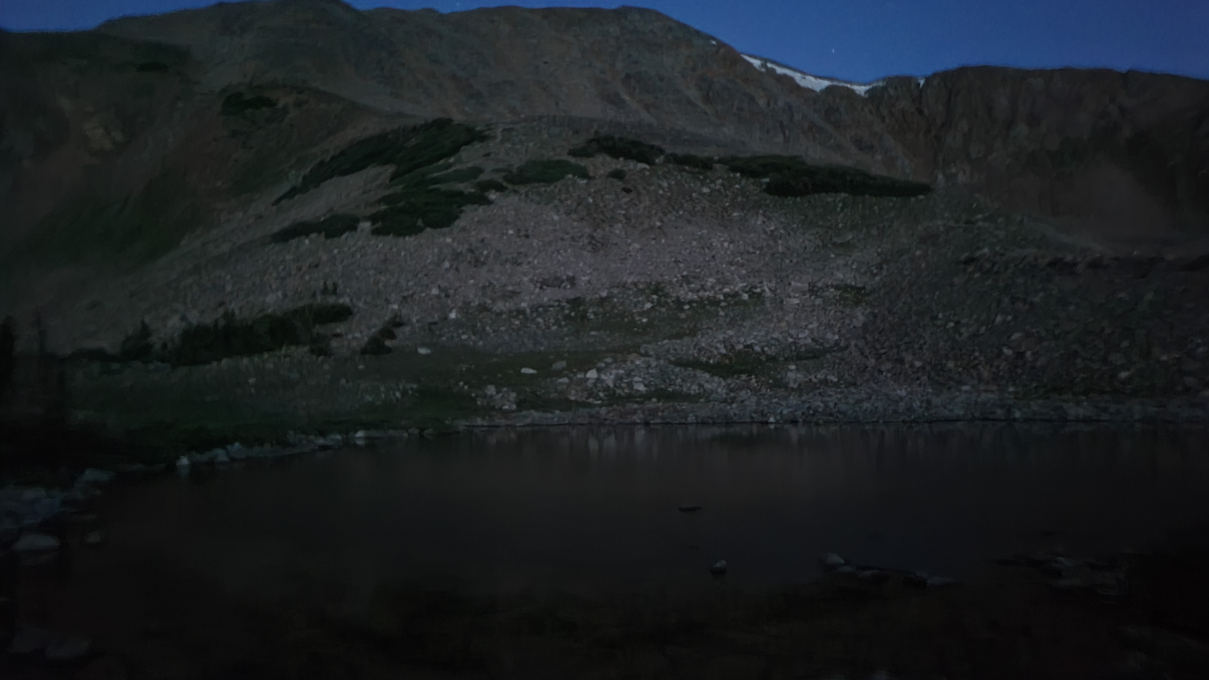
My son was planning to meet me at the Monarch store at 11:00 am with my resupply. That was still 10 miles away, so I was once again up super early to make sure I arrived with plenty of time. There was 1500 feet in elevation gain over the first couple of miles. The trail went from a steep dirt trail to Hunt Lake to an even steeper climb up the rockslide. It was still dark by the time I reached the challenging rocky section, but I was in a happy mood to be seeing Erik and my granddaughter Kya. Plus I was almost through the Collegiate West and had gained both strength and confidence that I actually might be able to complete the Colorado Trail.
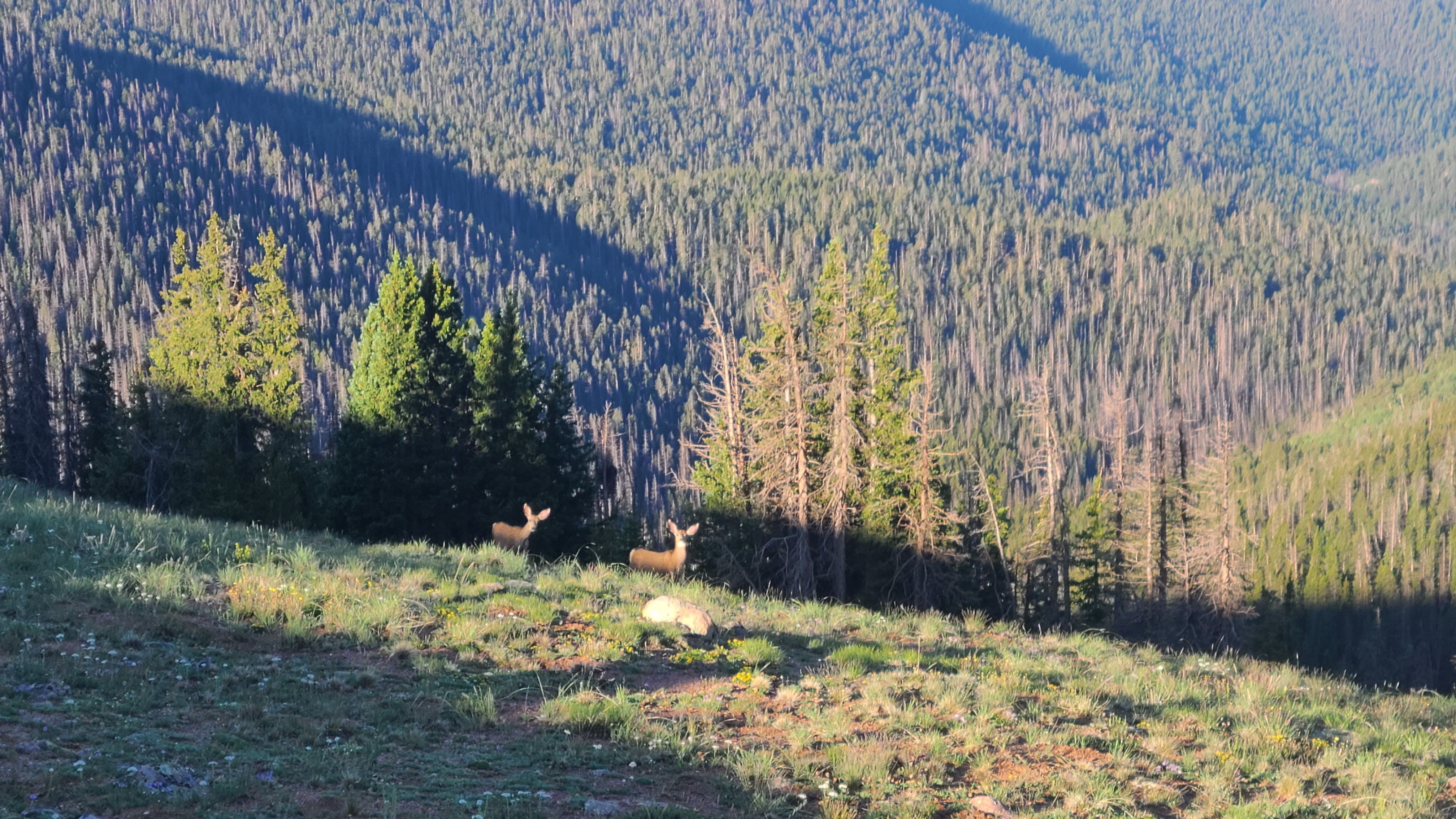
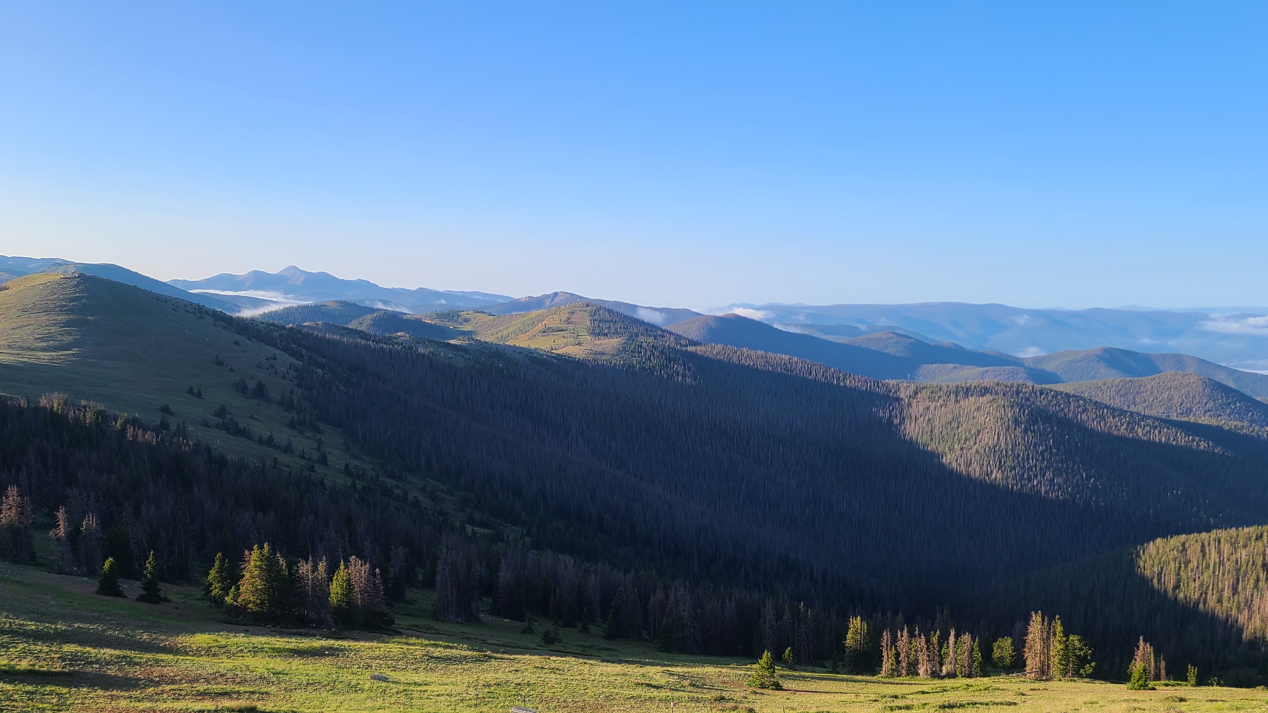
I reached the Monarch Crest on the Continental Divide. I was literally astonished at the view in all directions, and so far I had this trail all to myself. As scenic as the trail had been to this point, this was easily the best I’d seen. There were deer walking the trail near the high point. I crossed a few CDT NOBOs as I followed the rolling hills along the divide, then passed some big rocks with a sign explaining that Native Americans would use the formations to hide then ambush and corner big game. Monarch Ski Area came into view and I saw another pair of deer cautiously looking my way.


I reached the crest of the ski area and was happy to see a picnic table waiting for me. I was making good time, so I took few minutes to take a snack break on the luxurious flat seats and table. I hiked on through the ski area to Old Monarch Pass Road, which had just reopened after an early summer project. I crossed a few more friendly CDT NOBOs then found the single track that brought me up and over the next hill to Highway 50 and the Monarch Store. These folks were super hiker friendly and directed me to their spacious “hiker corner” where I could drop my trash, leave my pack and charge my devices while I waited for my son to pick me up. I bought a soda first thing and ordered a sandwich in their little diner.

I rode with Erik down to Gunnison to pick his daughter and some fast food. It was a fun to ride back up to Monarch with them, but it was over too soon as I quickly unpacked my resupply box. I realized too late that I had forgotten to pack the right charging cable for my 2nd portable charger in my resupply box. It would be almost 100 miles until my next resupply, so I hung out most of the afternoon to charge up all my devices. I still hadn’t mastered the Guthook navigation app and appreciated some tips from a fellow CT hiker while I waited. I met lots of really friendly hikers that day in the hiker corner, but late in the afternoon they all filtered back onto the trail as the storm clouds rolled in. I was almost the last one out, and some others had let me know they might stop at the first campsite about 1.5 miles up the trail. As it turned out I left just in time to miss the worst of the storm, and the others were happy to share their campsite when I arrived. I had really enjoyed the camaraderie of my fellow hikers that day after hiking solo so much of the trail to this point. But I still felt in an odd funk after my first “nero” away from the trail.
