CT Day 31/CDT: The Colorado Trail High Point

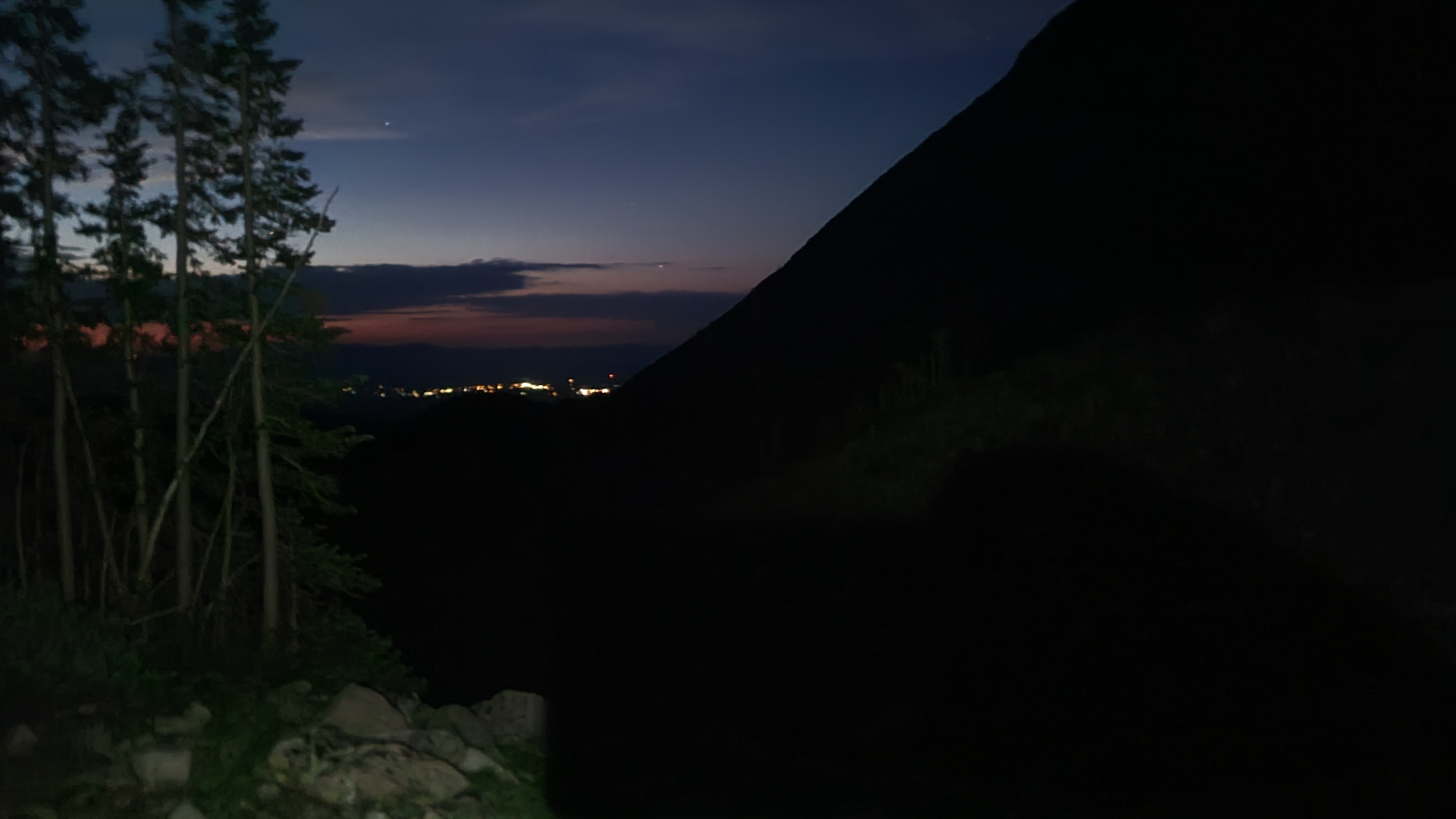
My ideal daily scenario had become to camp at a lower, more protected site near water, then start the next day before daylight with a climb. I would already have my CNOC bag filled and ready to filter water into my bottles while I packed up. This morning I tried to be as quiet as possible with other campers nearby, and suppressed my usual urge to swear out loud when my routine doesn’t go just as planned.

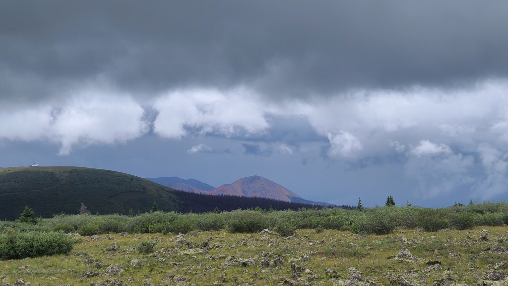
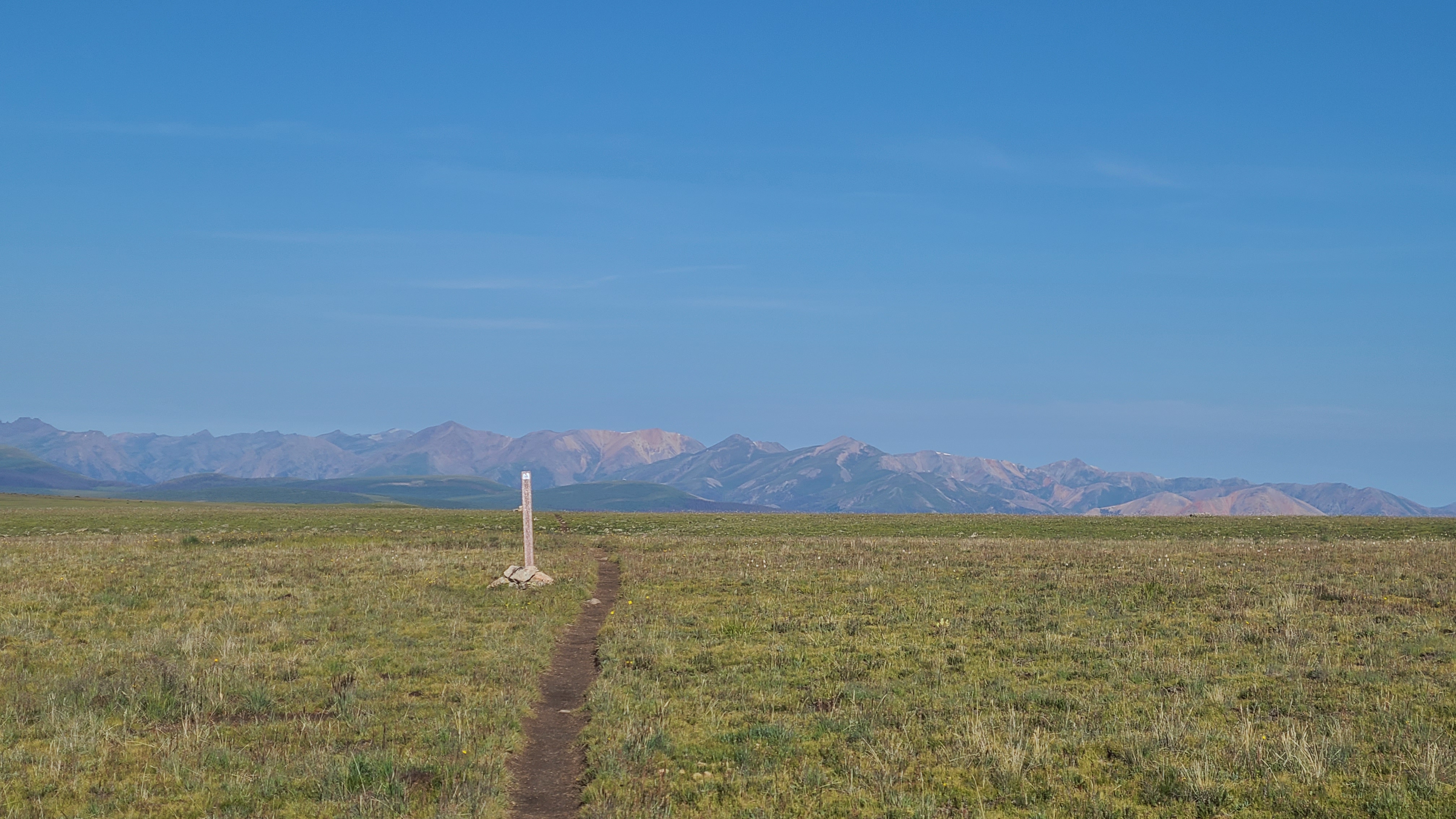
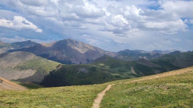
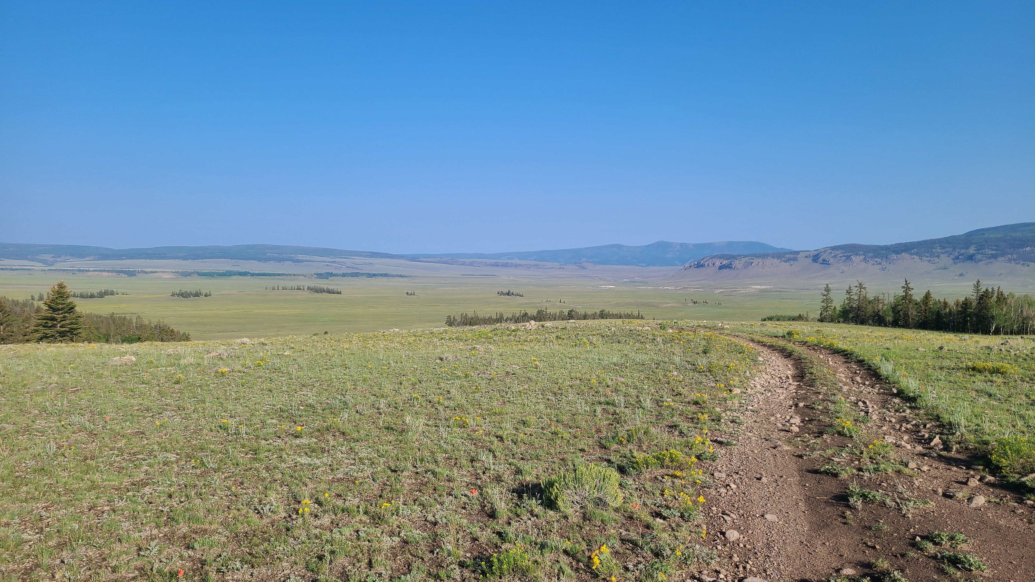
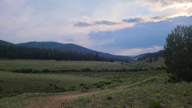
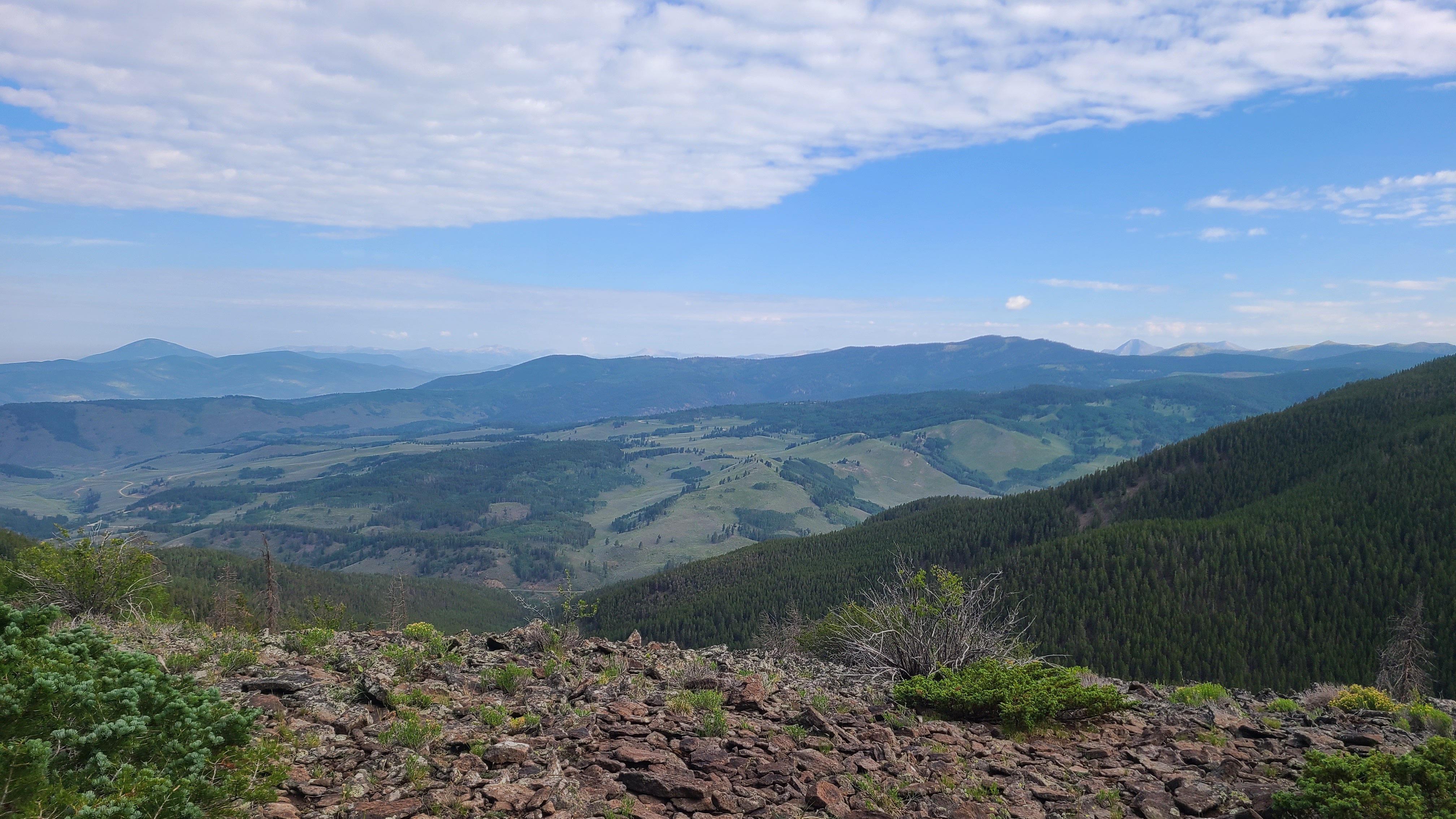
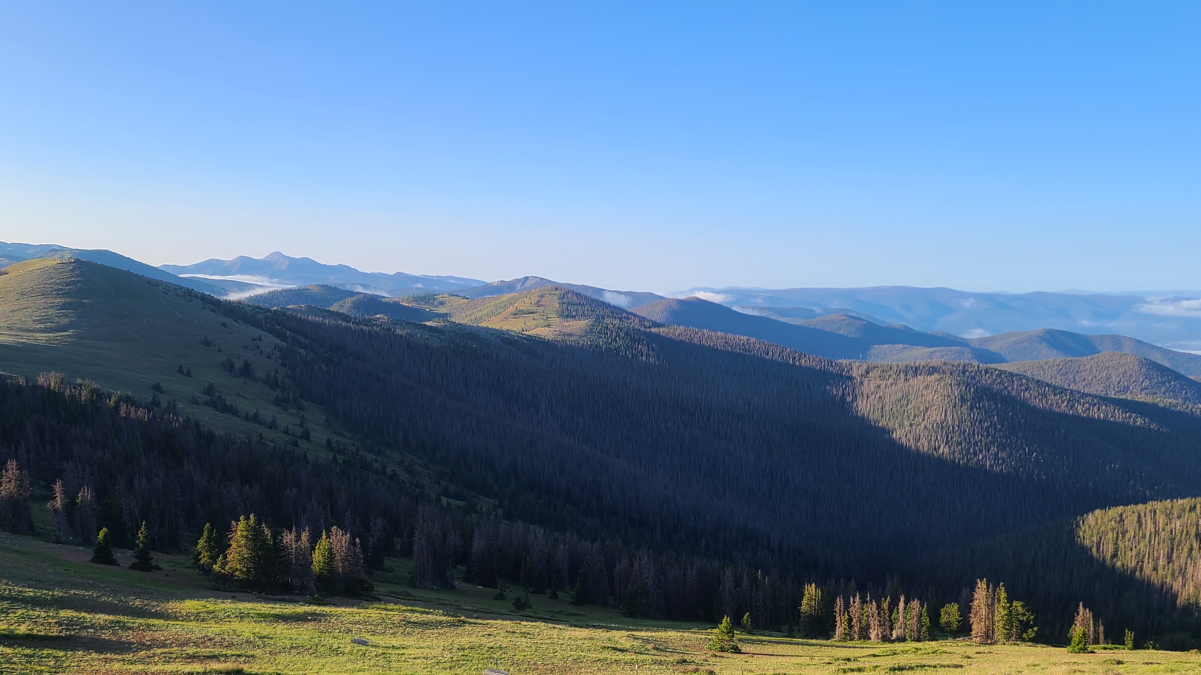
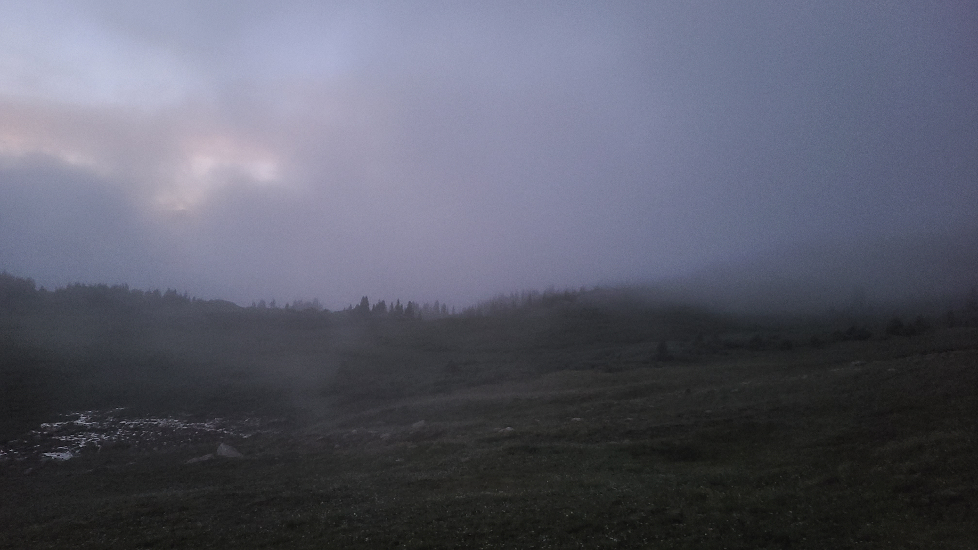
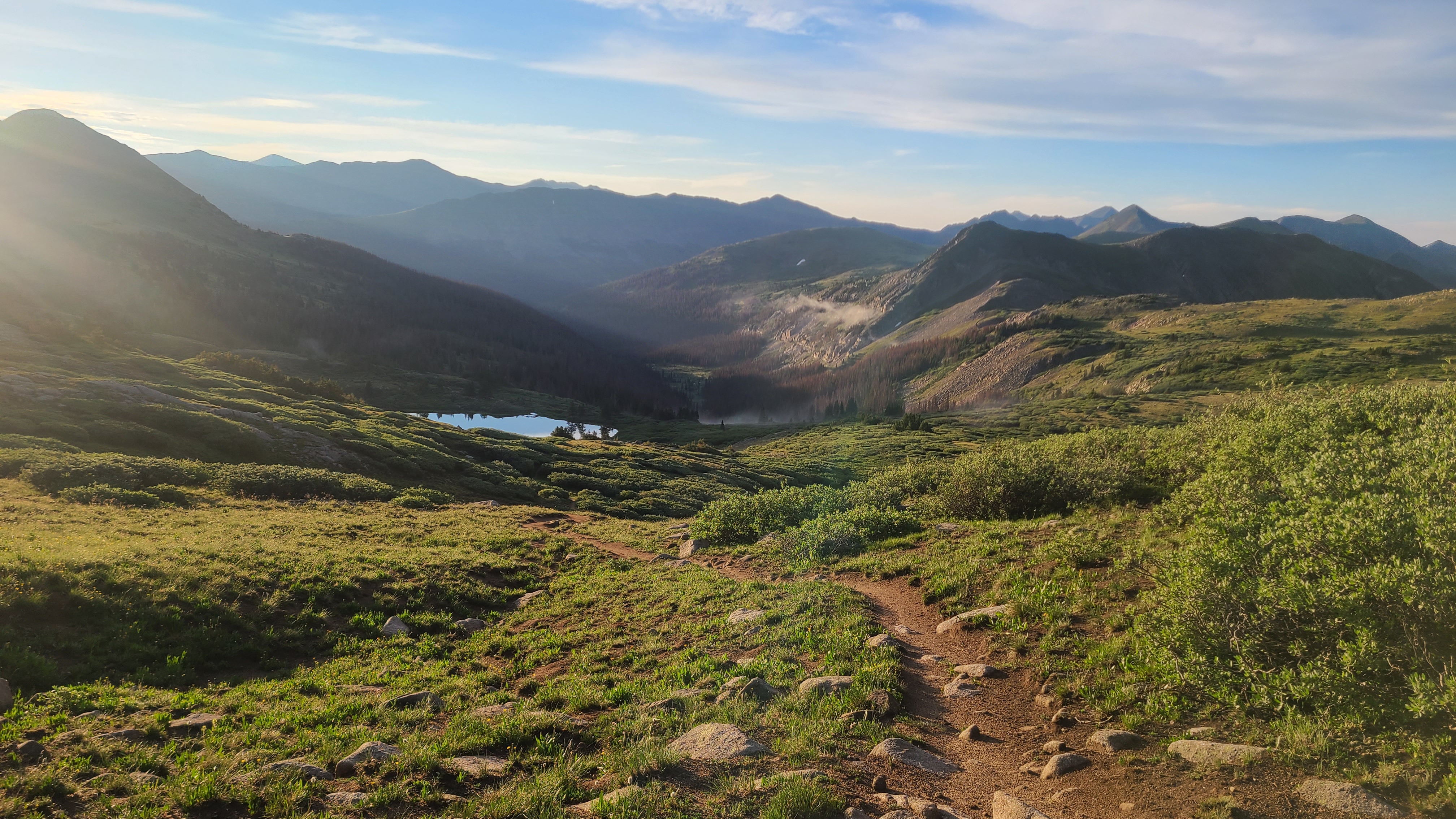
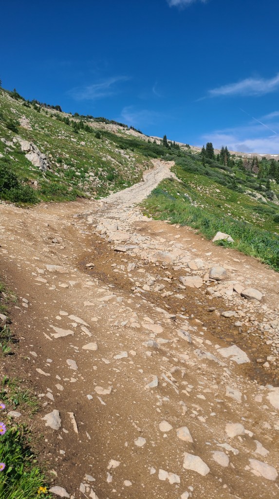
I was starting at around 11,700 feet and had to climb to the Colorado Trail high point of 13,271 feet over the first 7 miles. Once I reached tree line I could see the clouds fill in the valleys below. A bit further up there was a great view of Lake San Cristobal; as a child my family would often rent a cabin near there. With the exception of a challenging switchback corner I had to crawl over, the climb was more relentless than it was steep.

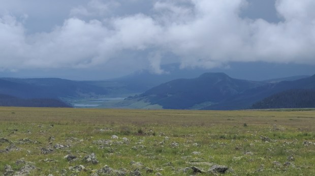
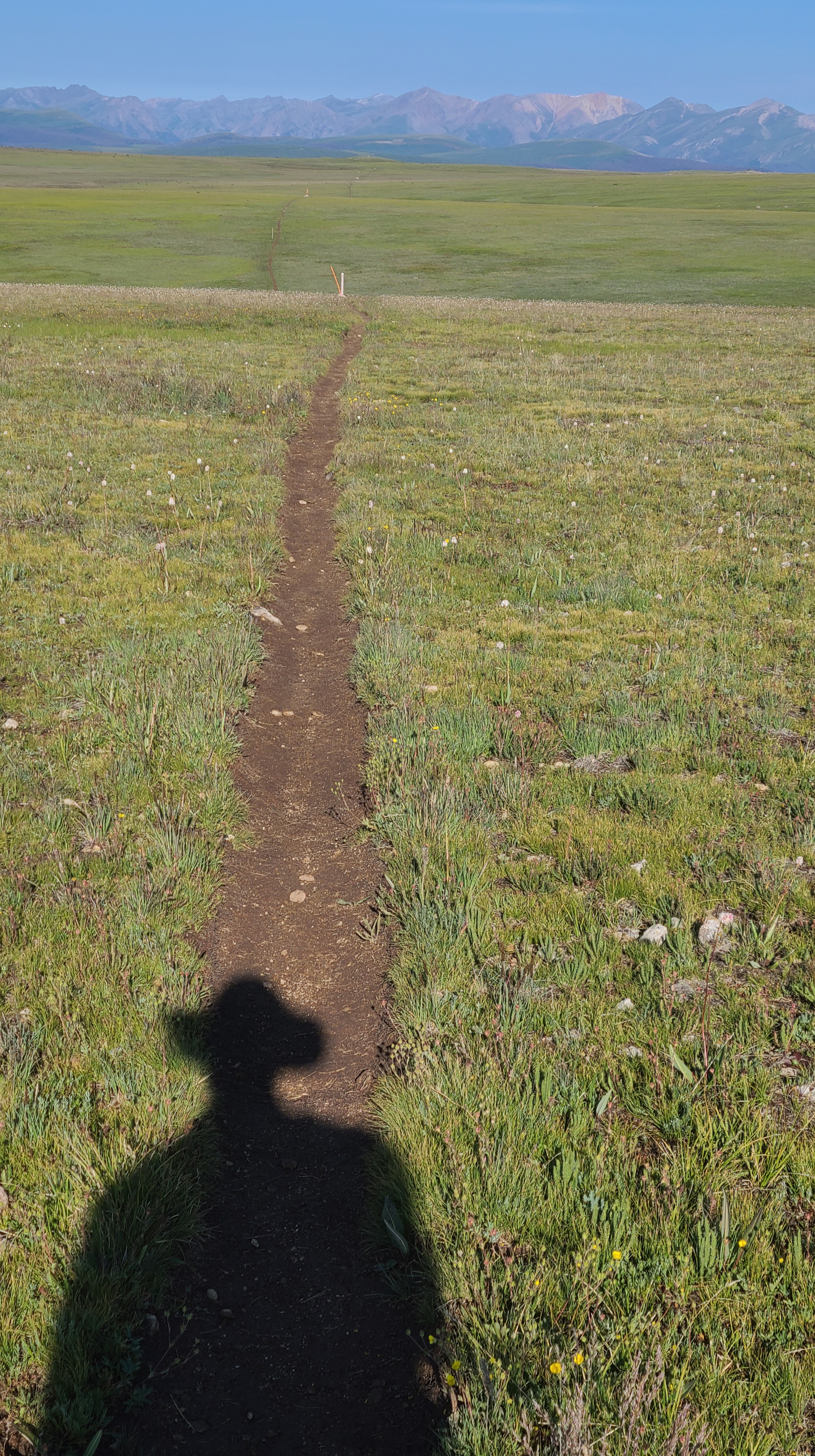
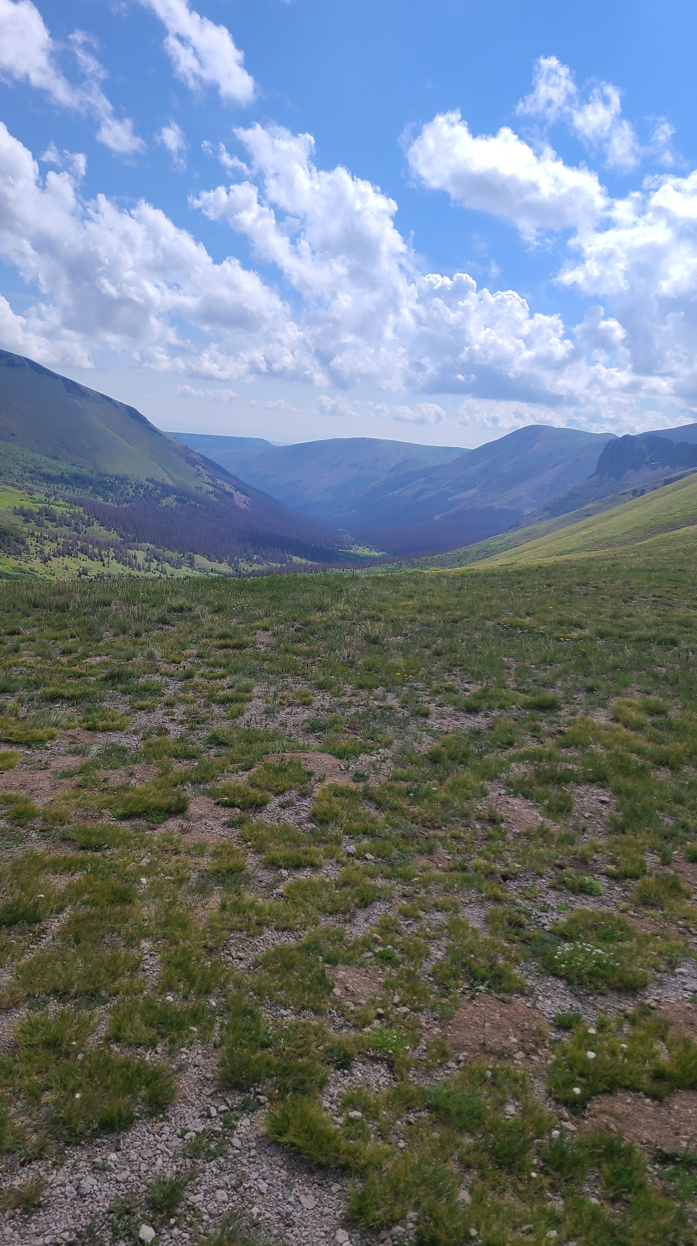
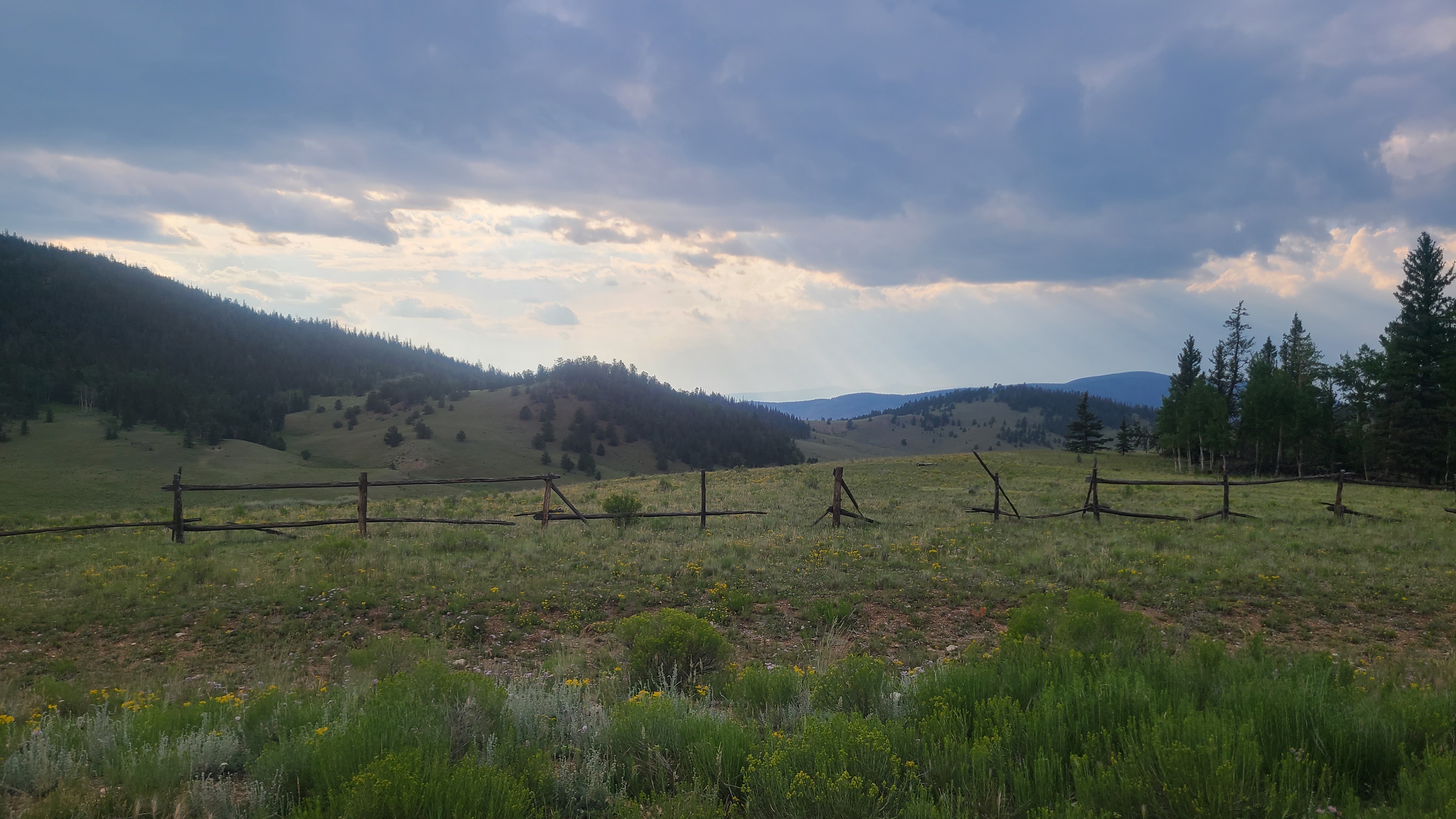
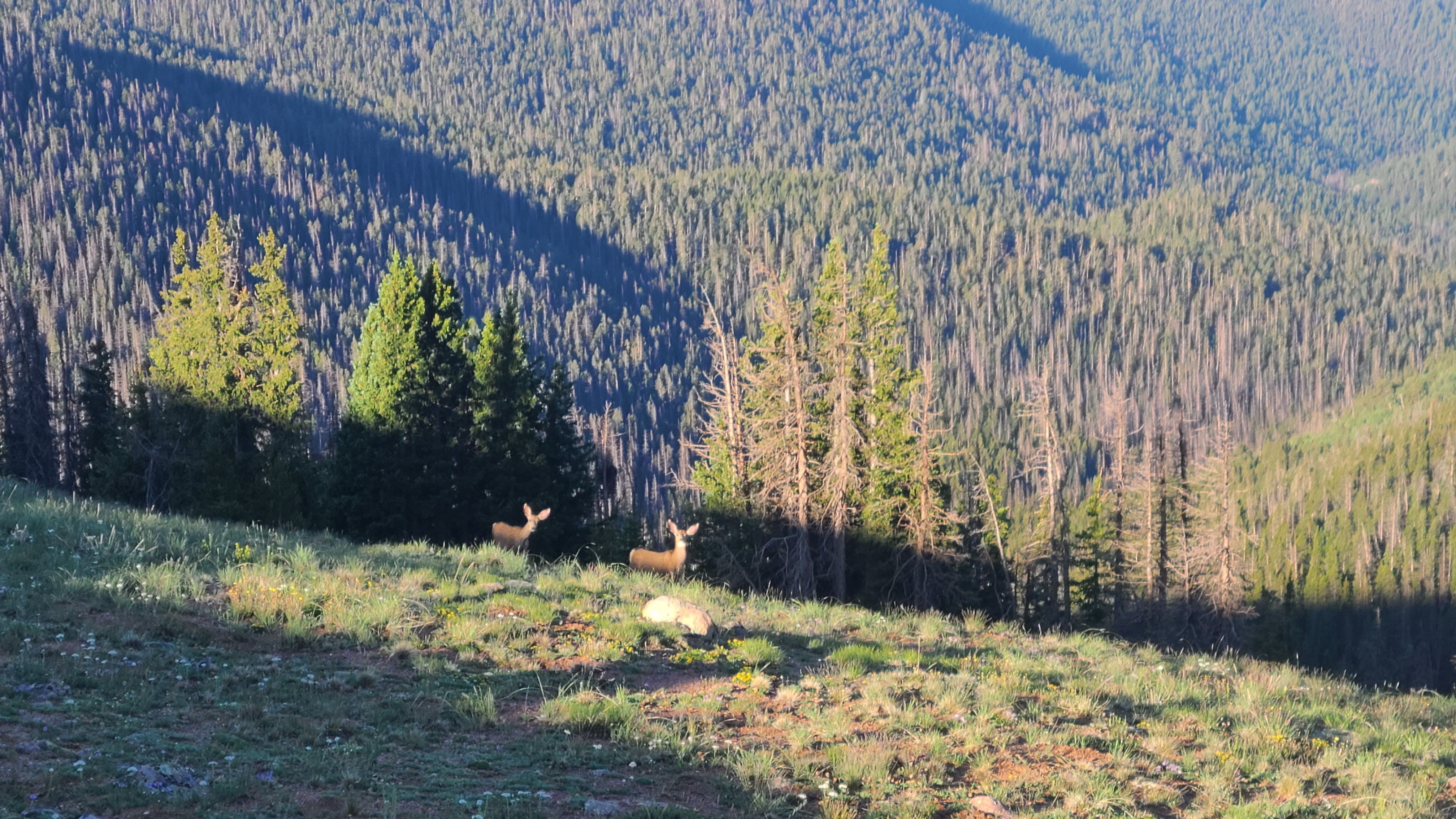
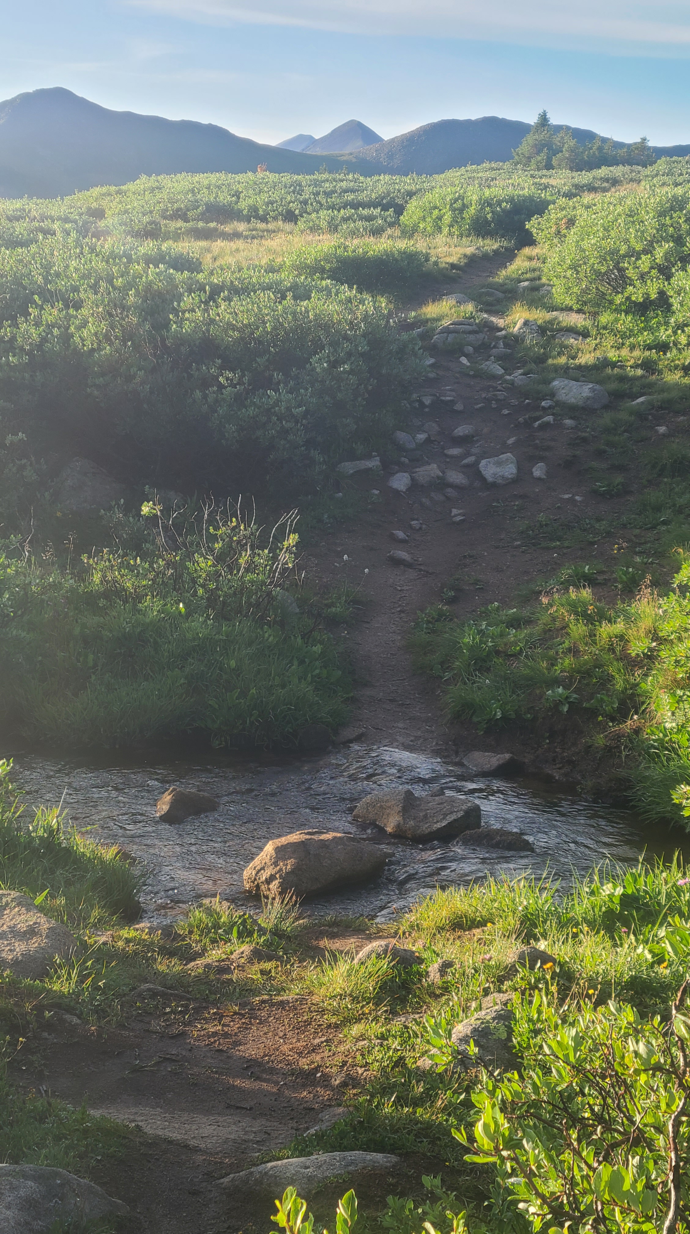
The alpine mesas and rolling hills were green and lush with all the rain we’d been getting. Rain looked likely today as well, and I tried to keep a good pace to get up & over to relatively lower ground before the thunderstorms hit. I was a bit disappointed that I couldn’t hold off a pair of younger, faster hikers that easily passed me. At least they were friendly, I thought.

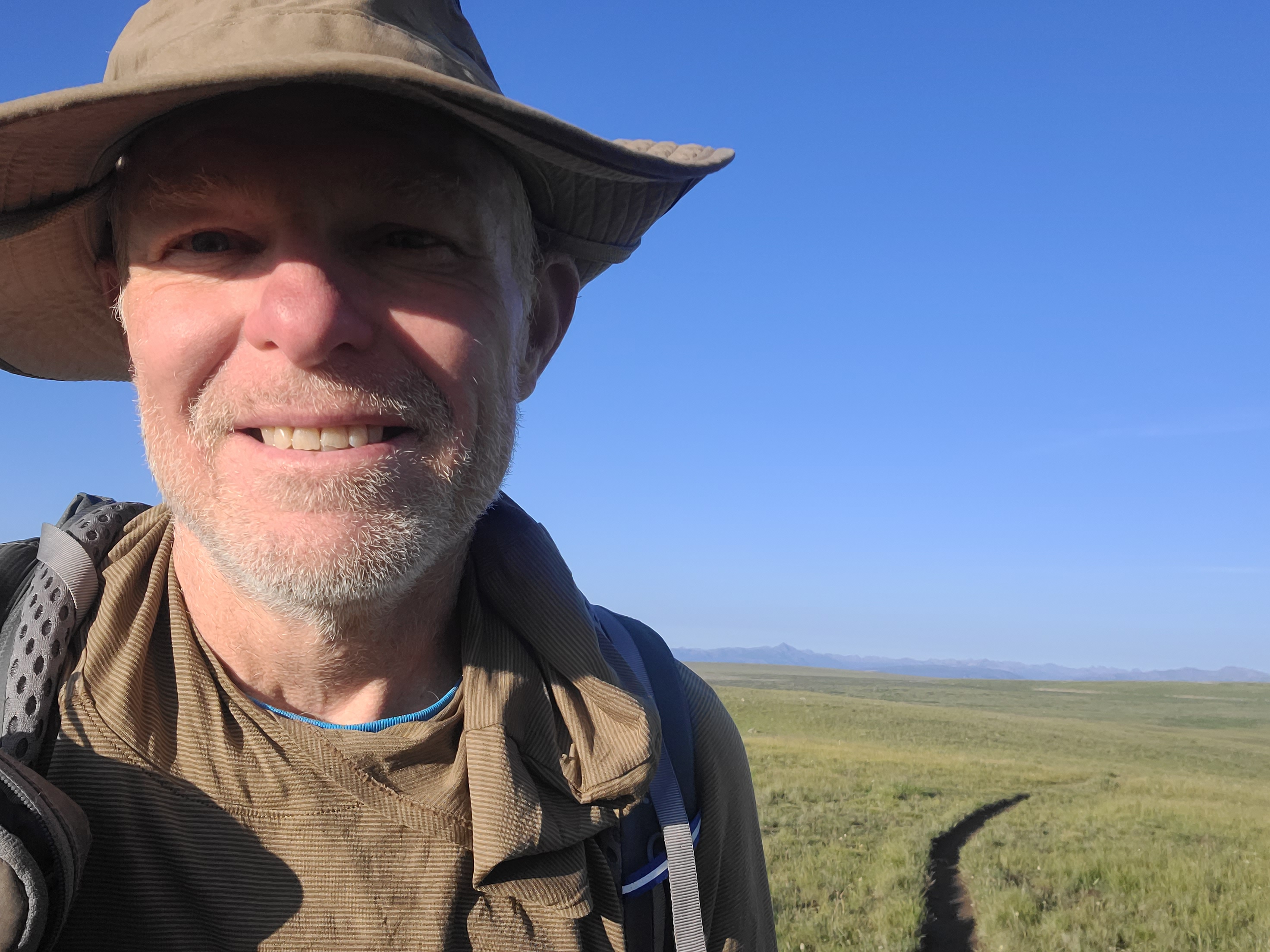
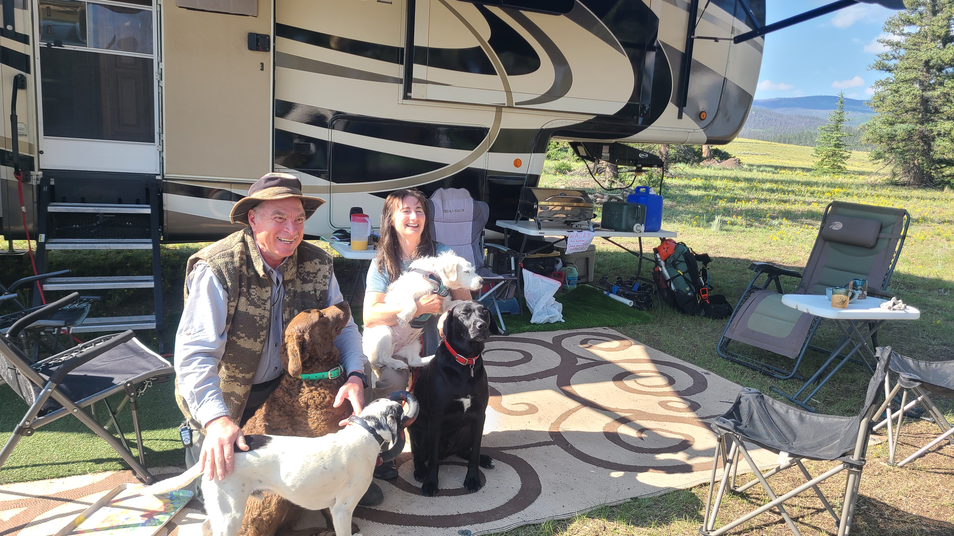
As I descended from the high point I could see some side-by-sides along the dirt road below me, and noticed the other hikers had stopped to visit. When I got closer, a woman named Jo ran up and excitedly offered me a sandwich and soda. She explained that her sister had hiked the Appalachian Trail, and since then Jo had wanted to be a trail angel. They hadn’t planned that for today, but were eager to offer the first and best ham, bacon, & cheese sandwich I’ll ever have. The other hikers were called Peaches and Neanderthal, and Jo was disappointed to hear I didn’t yet have a trail name. Seeing that I was hiking solo, she quickly suggested that I must be the Lone Wolf as Peaches and Neanderthal nodded in approval. I liked the name and smiled as Peaches stood behind her making Pope-like hand gestures to officially christen me as Lone Wolf.

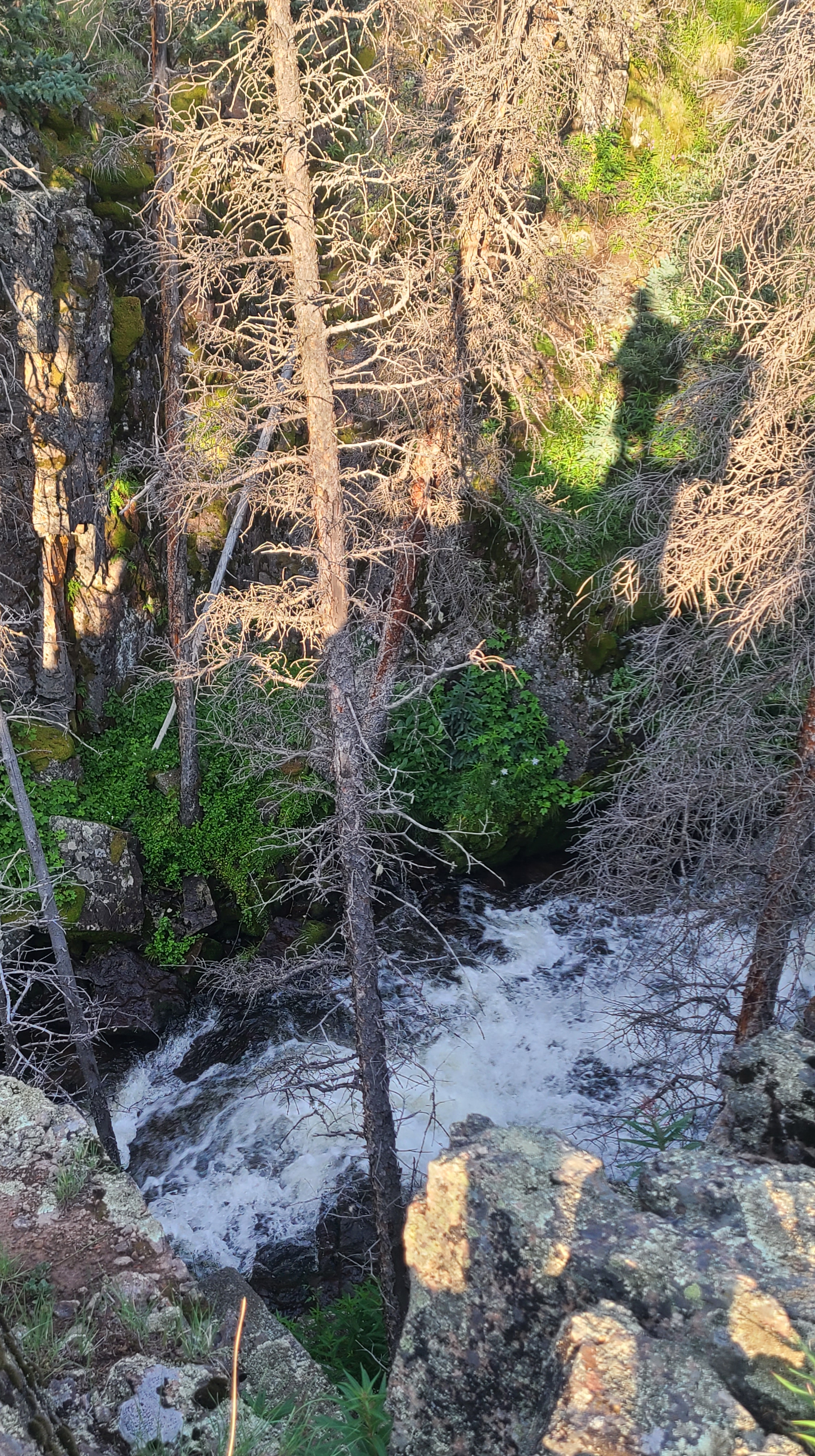
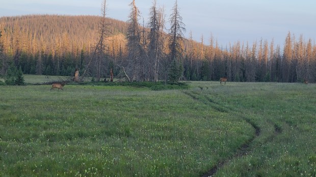
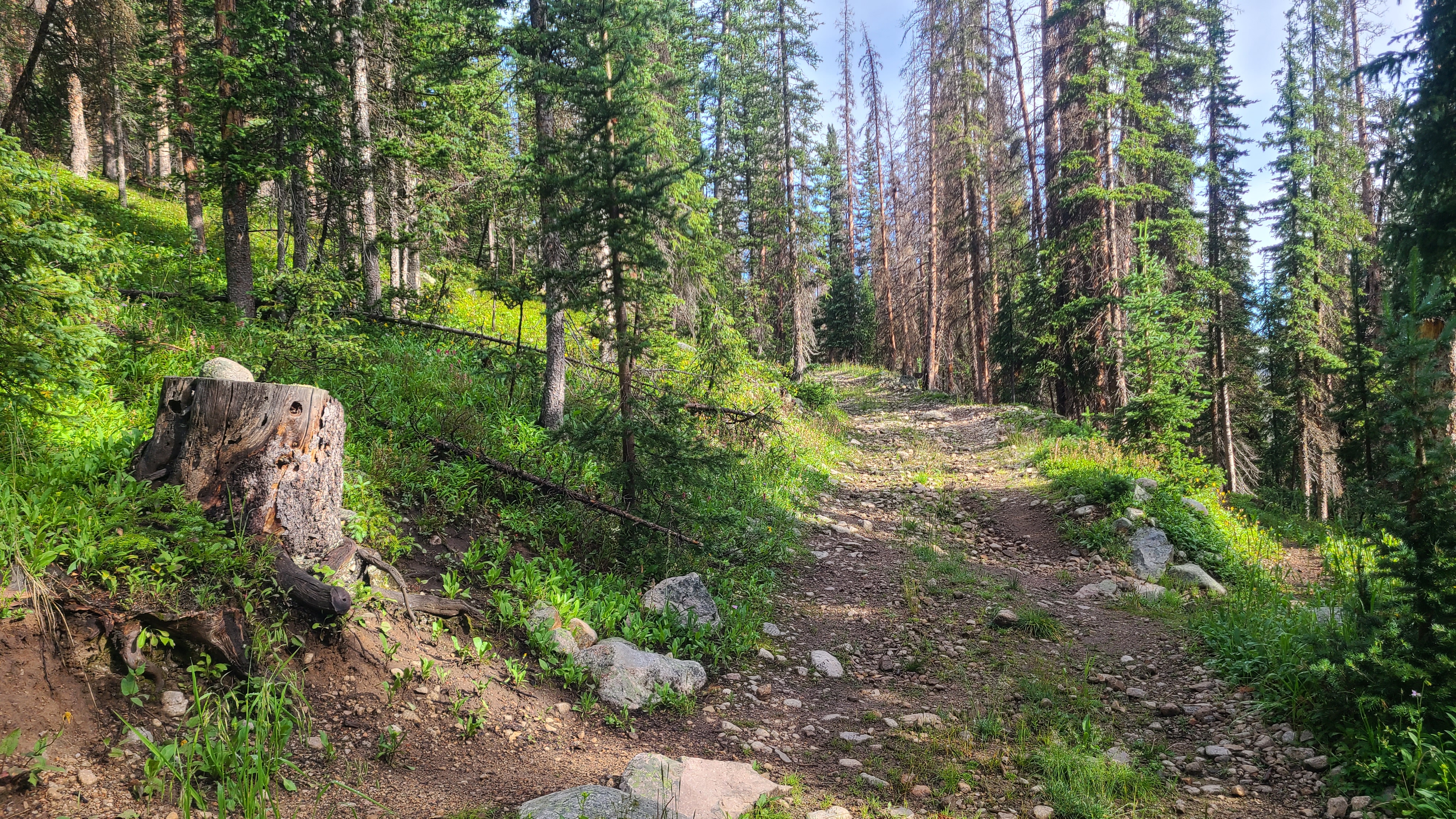
I nursed my amazing Mountain Dew on the way down the fairly steep Jeep road, and finished it slowly over the next couple of mornings. It had been the perfect compliment to my sandwich and a fun moment on trail. It was fun to introduce myself as Lone Wolf to a couple hikers I crossed paths with on the way down. I had a nice visit with a CT NOBO hiker called Squirrel until a sudden rain began to pummel us. I didn’t envy Squirrel with her stormy climb ahead, not to mention the 375 miles she had left to reach Denver through this epic monsoon season. I was happy when I later saw that she successfully completed her thru-hike.

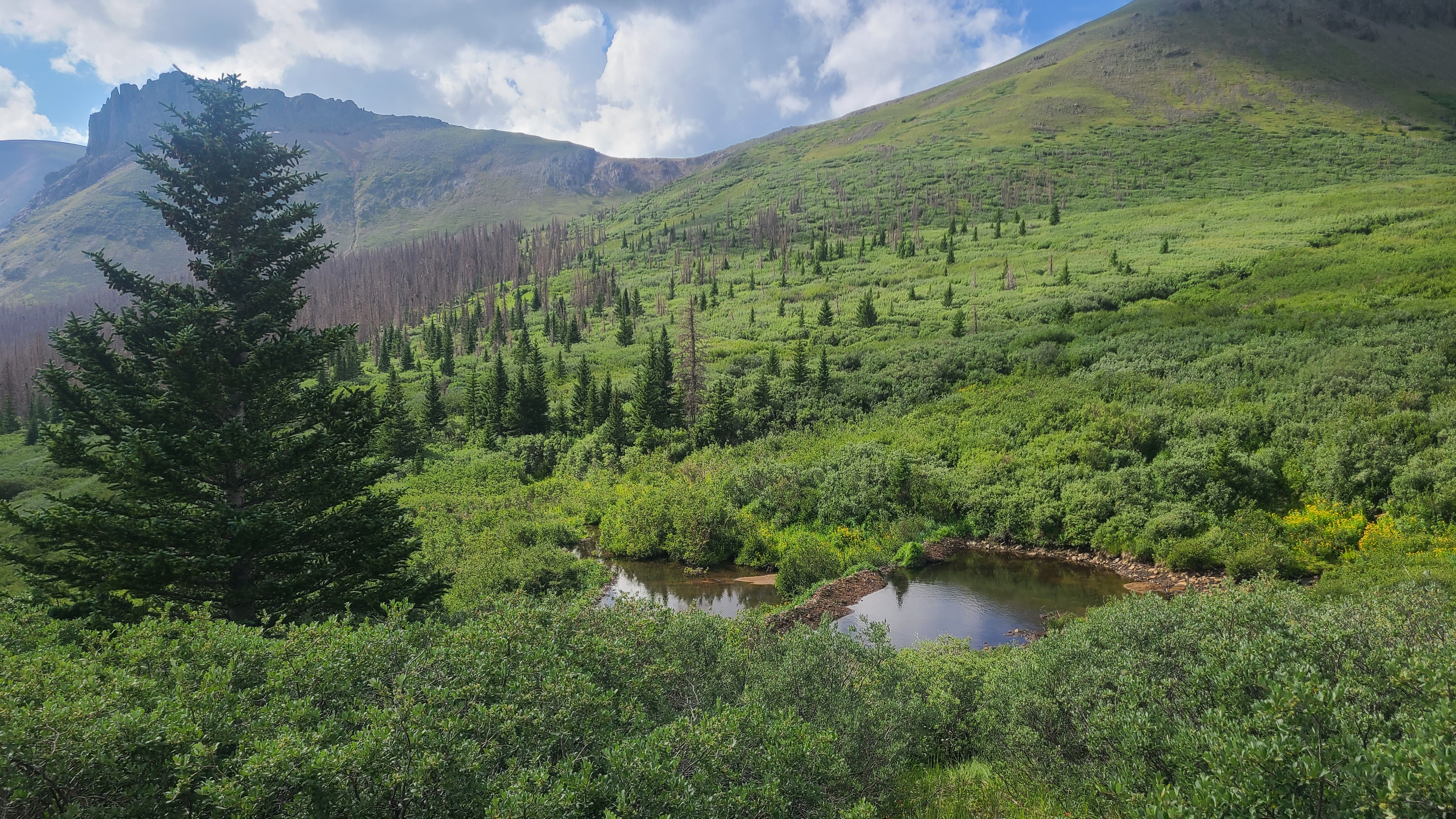
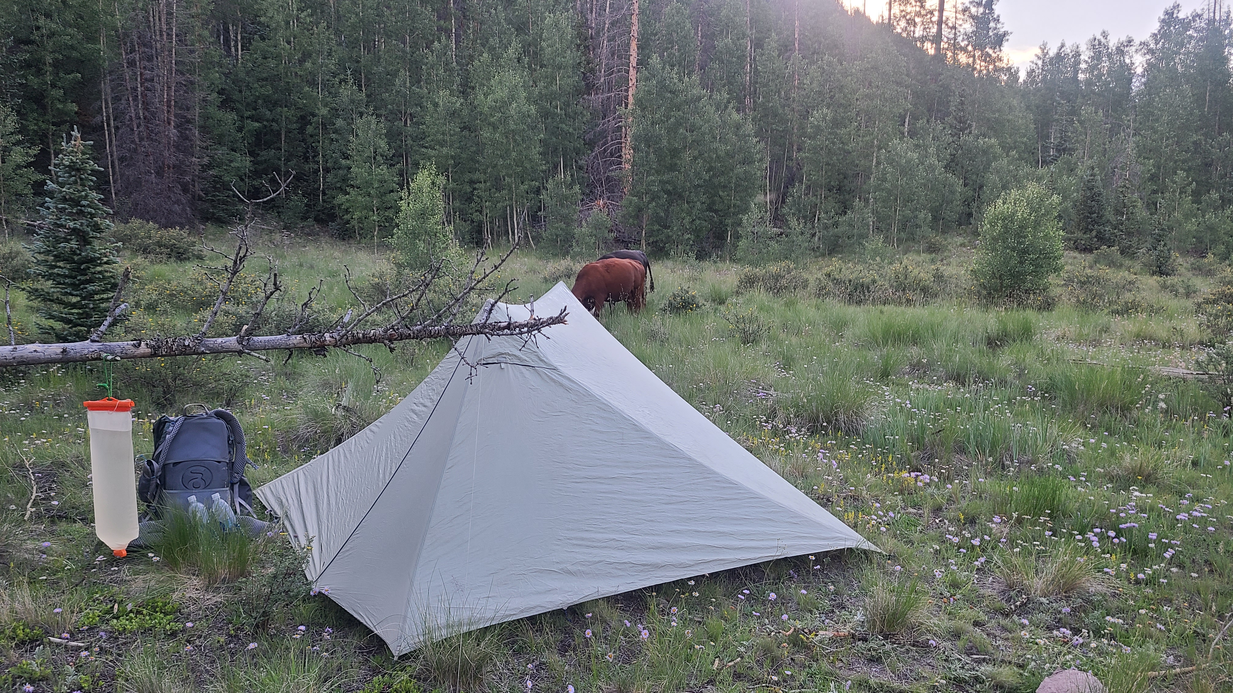
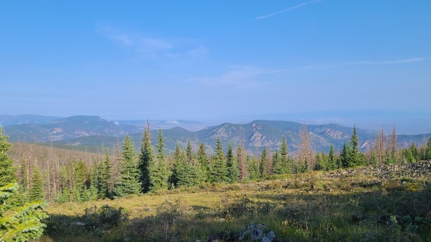
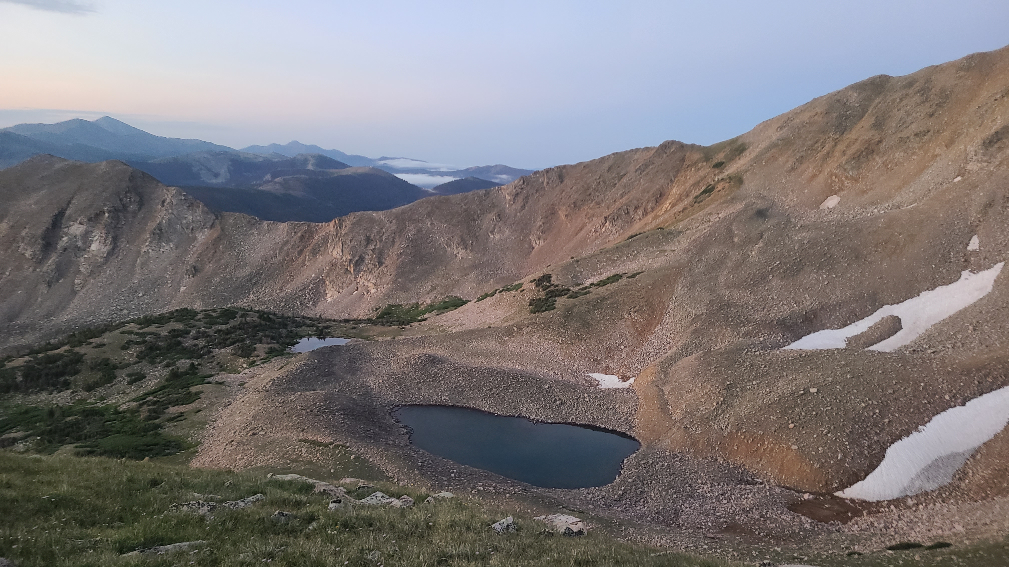
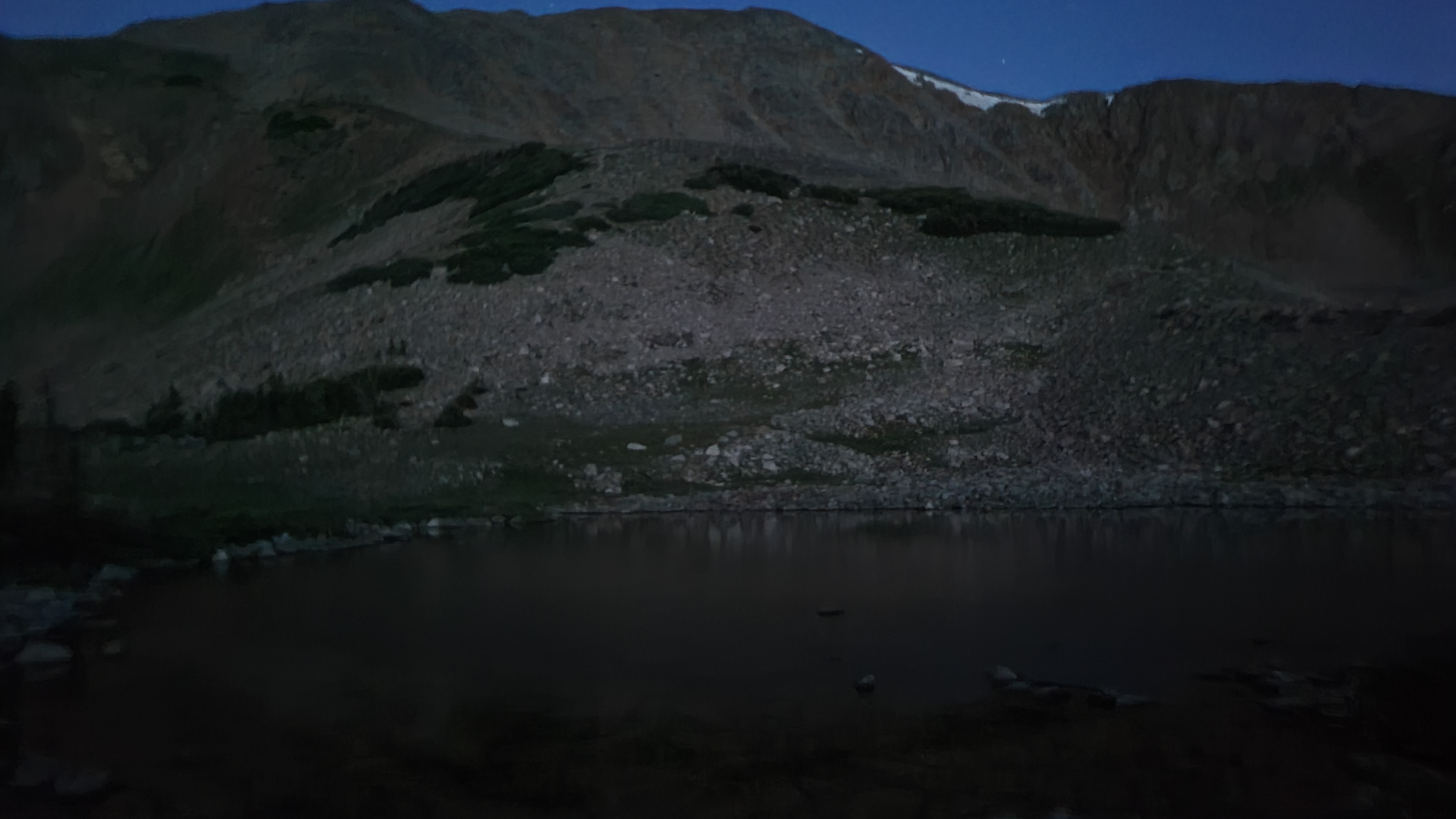
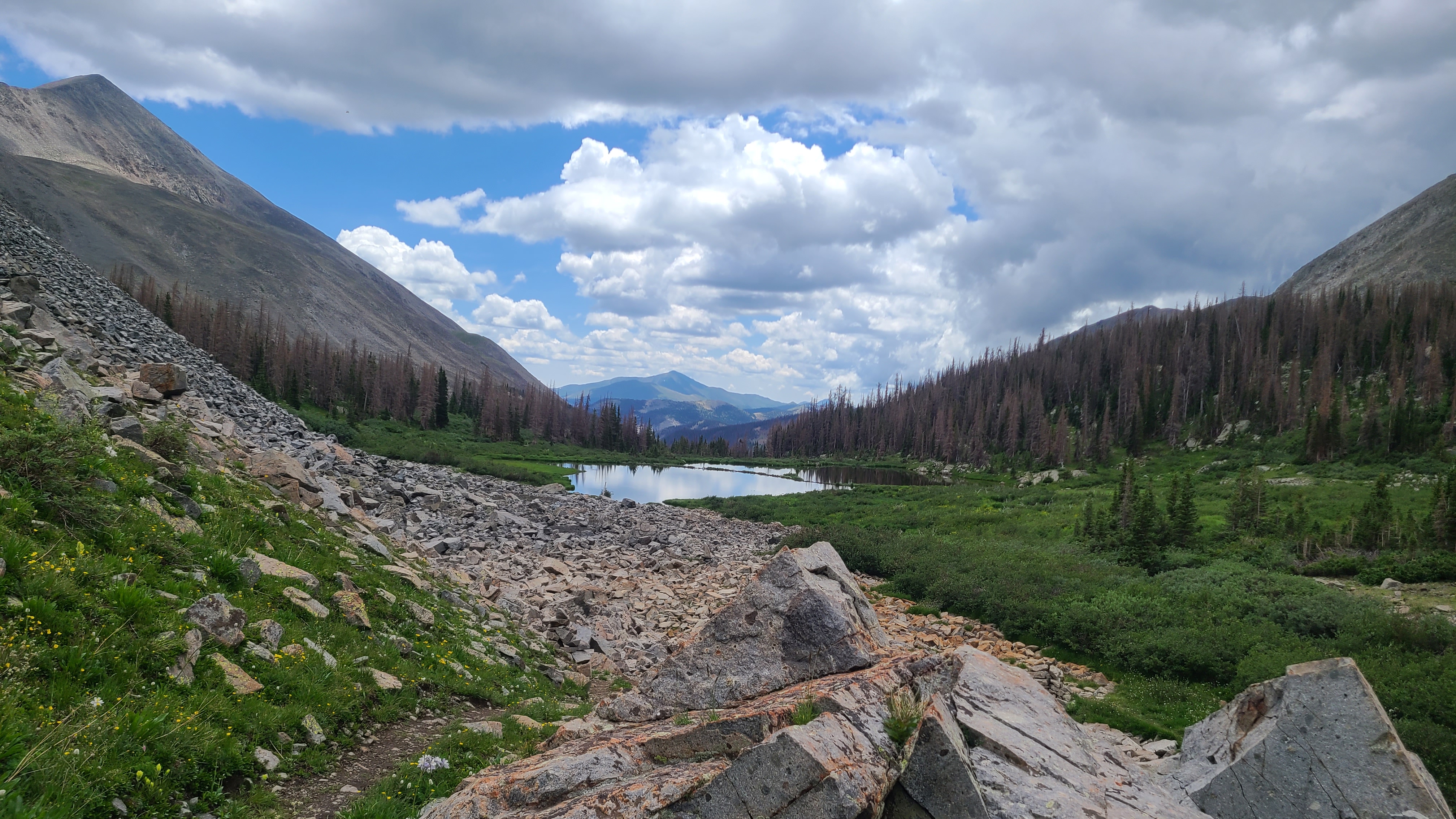
I initially missed the trail junction just below Carson Saddle but didn’t hike far before I realized my mistake. It had been a big day already, and I still had a couple challenging climbs ahead. I was impressed with the bikepackers I saw making those same climbs. I set up camp just beyond Cataract Lake at about 15 miles for the day, and not long after my campmates from the night before joined me.

CT Day 30/CDT: Into the San Juans

I had planned to spend just one night in Lake City to pick up my resupply box and other provisions, then return to the Colorado Trail on the next day’s noon shuttle to Spring Creek Pass. I kept hearing about the near-record monsoon, and was continuously checking the weather on my phone. The forecast was always the same – rain and thunderstorms starting early every afternoon. After the first 10 miles I would be near or above 12,000 feet continuously for 35 miles. I ended up staying for two unplanned zero days in Lake City.

I had enjoyed revisiting my family’s favorite vacation town from my childhood. The bakery on the other side of town was well worth the mile walk from my campground every morning. I had met Bill, who was doing a1000+ mile LASH hike on the CDT, earlier on trail and it was fun to hang out with him in town for a couple days. I found Lake City to be a super hiker-friendly town, and local merchants even took turns volunteering to drive the daily hiker shuttle to Spring Creek Pass using their own vehicles. I was a little disappointed to be leaving on Sunday as I would miss that night’s free community hiker dinner, hosted weekly by the Presbyterian church.

I was in touch with Lucky at the hostel and he let me know that hikers were still going back out on trail every day. I had built a couple contingency days into my time away from work, which I had just used up with my double zero. I could see I was “losing my mojo” to get back on trail. Although the CT is a much smaller endeavor, I had read Zach Davis’ book “Pacific Crest Trials” to help mentally prepare for my hike. I thankfully had written out Zach’s suggested lists and saved them to my phone. I read my “I am thru-hiking the Colorado Trail because…” list on the noon shuttle back to Spring Creek Pass.

There was a trail magic canopy set up after the first mile on trail, but I just stopped for a few minutes and started right back out. The weather forecast proved correct and after another mile I could see a wall of rain headed my way. There was thankfully no lighting, so I hiked on through the rain. I had only planned to hike in about 9 miles this afternoon and wanted to get settled into camp as soon as possible in case a thunderstorm rolled in. After hiking past the most sheep I had ever seen and some modest climbing, I reached a good camping area at the edge of a meadow with water nearby. I met a pair friendly hikers there ahead of me who were happy to share there campsite. Their CT attempt the prior year had been interrupted when one of them broke an ankle on-trail, and they were back at it this year.

CT Day 29/CDT: They Howl at the Sunrise, Too (Snow Mesa)

I had to hike 10 miles to Spring Creek Pass by noon to catch the shuttle for Lake City and my resupply box, so was again up and out of camp well before daylight to allow plenty of time. I had a short climb to a saddle to start the day, and enjoyed hiking through the frosted alpine willows in the early morning. I then crossed a talus trail to Snow Mesa. The scenery was pretty incredible in all directions, and the sun rose over a nearby peak as I reached a little lake. Right as the sun rose I was startled, then enchanted, to hear the chorus of countless unseen coyotes howling away. I had never heard this before, and had no idea they howled at sunrise. I experienced many special moments on the Colorado Trail, but none like this, and I had it all to myself.

Snow Mesa is huge and literally goes on for miles. I was excited and honesty a bit intimidated as I slowly walked closer and closer to the San Juan mountains. The Collegiates were hard but seemed to follow a predictable pattern. It had been more than 30 years since I last hiked in the San Juans, and there was just something wild and mysterious about them.

Other than the few hours I spent away when I resupplied at Monarch, I’d been on-trail for going on 12 straight days. I was unshaven and had worn the same clothes almost the entire time. I thought of my old friends Jeff, Shannon, & George who’d seen me in such a state too often during some past hard years. But now there was a smile and a light in my eyes; I was truly overjoyed to be here.

I reached Spring Creek Pass early and tried unsuccessfully to hitch a ride to Lake City rather than wait. Some other hikers eventually got picked up, which left just enough room on the shuttle for the rest of us. I ended up taking a covered campsite in town at the River Fork campground instead of the hostel. Lake City was kind to me that first night when some other diners paid for my cheeseburger at Packers after I changed tables to accommodate their larger party. The sign out front celebrated my most feared childhood nemesis, the cannibal Alferd Packer, by depicting him as another famous Packer wearing the #4 and carrying a skull for his football.

CT Day 28/CDT: San Luis Pass

I was up and out of camp before daylight. expecting some challenging climbs today after a couple days of easier going through Cochetopa. After about 3 miles and a short climb I passed some other CT hikers breaking camp alongside a scenic creek; I complimented them on finding a much better site than I had settled for with the cows the night before. I was climbing out of a lush drainage with pretty beaver ponds and crossed back & forth over a stream until I reached a series of switchbacks.

The campers I had passed by earlier caught up and we leap-frogged up the the saddle to the base of San Luis Peak. I had hoped to summit the peak but had not planned well for this. It would be a 2-3 hour roundtrip, and it was late morning already with more several more ridges ahead for the day. Plus my mindset was that I really didn’t want to hike anywhere that wasn’t forward on the Colorado Trail. I hiked down the rockslide from the saddle and crossed paths with a several hikers marching up to their next 14er. I’ll be back for this one, I promised myself.

I hiked up two more saddles then finally reached San Luis Pass where I stopped for a solo lunch. The next saddle was the high point of the day above 12,800 feet on the Continental Divide, and I lost track of the number of climbs after that. Good thing I passed on San Luis Peak, I thought. The next campsite I passed had probably a dozen or more tents set up all around, which was easily the most I had seen on the whole trail to this point. I wanted to leave myself plenty of time to catch the next day’s noon shuttle to Lake City, so I decided to chance that the campsite in the Databook 10 miles from Spring Creek Pass would be available. Along the way I visited with a friendly CT hiker named Shawn who kindly invited me to share his campsite, but I continued on in the hope of having a campsite near water. I found the small site was just as it had been described, and it was a tight squeeze for my Xmid 2p with its notoriously bit footprint. But it was available and with water nearby. It had been a rough 16-mile day full of climbs but I felt lucky to have my spot and be inside ahead of the that afternoon’s rain.

CT Day 27/CDT: Finding Cochetopa

I was up a bit later than usual and hiked out of camp in daylight. The sun rose and I passed nice family whose two young kids were warming up in the sunlight alongside the trail. I later heard that the whole family successfully thru-hiked the Colorado Trial. As continued on past the woods, I began to see this beautiful, undeveloped, almost endless tree-lined meadow with rolling green hills that was right of an old west movie. I had never been to Cochetopa and never even heard of it until I started preparing for the CT. Being born in Colorado and having lived here most of my life here, how did I not know about this place? I understand Cochetopa is a Ute term meaning “Pass of the Buffalo”.

In this giant park I saw just one lone RV, and as I got closer I saw a little paper sign that invited hikers over for trail magic. I think I was the first there that morning and met this wonderful, dog loving couple from Kansas City that just loved to help out hikers. I could leave my trash, refill my bottles with fresh water, charge my devices, sit in a lounge chair, and drink hot tea or cold orange juice. I told them how grateful I was to charge up my phone and batteries, as I had forgotten to pack the correct cable to charge my phone from my primary portable battery. The husband went inside, happily gave me the cable I was missing, and wouldn’t take anything for it. A hiker couple stopped by soon after me – they had thru-hiked the PCT together at 66 years-old, 11 years ago, and were now thru-hiking the CT. I thought that’s who I want to be when I grow up.

I had left camp a couple hours late this morning, and spent at least an hour with my new KC friends. But I still felt like I needed to get in my 20 miles for the day with relatively easy hiking through Cochetopa. I found hiking this section was a bit more challenging than expected later in the day. I had to find a spot to wade across Cochetopa Creek where the old bridge had washed out. After a short, steep climb, the trail then follows a narrow, dry, and angled path along the steep hillside for several miles approaching the Eddiesville trailhead. It was easier hiking after Eddiesville, and the cows liked it here too. An impressive collection of kinda mean looking bulls were fenced off. A bit further up the trail the cows were unfazed as I set my camp up among them, just short of 20 miles for the day.

CT Day 26/CDT: What is Los Creek?

I was again up super early and packed up quietly, knowing others were camped nearby. I had a short but pretty steep climb from Baldy Lake back to the Colorado Trail, and hoped for another 20+ mile day today. I was expecting easier hiking as the trail elevation would drop from 11,500 feet to below 10,000 feet for most of the day. I reached a clearing as the sun came up behind me, and saw some nice-sized elk crossing the trail ahead. I had another short climb to scenic overlook where I was surprised to have the first good cell signal since leaving the Collegiates. I was able to order a charging cable that I had forgotten to pack in my last resupply box, that would arrive in Lake City by the end of the week. I made the mistake of assuming I would have cell service to check in with my wife Maria later that morning, not wanting to call her this early. I enjoyed the view a bit longer when my campmates from the night before, both hikers and bikepackers, passed by. I was able to filter and top off my water at Razor Creek, which was still flowing as reported by another hiker a day earlier.

I had a few more ups and downs than expected as I continued on. I leap-frogged a couple times with another hiker named Bill, who was hiking the CDT from Winter Park, CO to Lordsburg, NM. I kept checking for a cell signal to call my wife whenever I reached a clearing or high point, and felt bad walking up on Bill’s tranquil lunch as I was swearing out loud at my cell phone. I was finally able to reach Maria to reassure her that I was still on-trail and not off on some other adventure that didn’t involve hiking.

It was fun to pass the number “300” written neatly with little stones, marking my progress as I continued my descent towards Highway 114. I shared the final walk to the highway in the company of surprising number of cows. After crossing the highway I stopped to filter some water at Lujan Creek. Later that afternoon I crossed paths with several hearty mountain bikers riding the Colorado Trail bikepacking race, and they encouraged me on as much as I did them. I visited with a woman waiting at the side of the road hoping to see a glimpse of her husband who was riding, although she couldn’t have contact with him in the unsupported race.

After about 15 miles for the day felt pretty worn out but knew I had to hike at least another 5 miles to stay on pace for my next resupply in Lake City. This was kind of a turning point for me on the trail as I found another gear to push ahead for 7 more miles. I finally reached, then rock-hopped across, Los Creek. I wondered what the history around the naming of Los Creek might be, and never did find out. I found camping not far up the hill from the creek, after logging 22 miles for the day. I got lucky with the rain and was inside my tent just as that afternoon’s storm rolled in.

CT Day 25/CDT: Marshall Pass to Baldy Lake

I needed to make up some miles today after logging just 9 trail miles the day before. It was Sunday and I had packed enough in my resupply to last until Thursday, when I also had a bed reserved at the hostel in Lake City. That was still 90 miles away, which meant averaging 20 miles a day through Wednesday with 10 miles left for Thursday morning to catch the the noon shuttle from Spring Creek Pass. I was a bit disappointed to leave the hikers I had camped with last night, but the only way I could get in the miles I needed with the anticipated storms ahead was to leave camp by around 4:00 every day. I was now used to leaving camp in the dark and looked forward to having the trail all to myself at my favorite time of the day.

Marshall Pass is a well-used, mult-use trail and was rough hiking, especially on the chopped-up downhill sections. I was still making good time and planned to stop at the Soldierstone monument on Sargents Mesa. By early afternoon I had nearly reached the the mesa when dark skies quickly turned into heavy rain and lightning flashed at the top of the climb. I dashed into a grouping of trees which provided surprisingly good shelter from the rain. I could see there was no cover on the open mesa and felt lucky to have reached these trees, despite ample evidence that the nearby cows had recently taken refuge here. I waived a few other passing hikers over to share this spot through the worst of the rain. I was happy to hear one of them report that the next on-trail potential water source at Razer Creek was flowing, although still 10 miles away. One by one we eventually decided the lessening rain was preferable to the surrounding mounds of cow poo and I hiked up to the mesa. I saw a trail marker on the far end of the meadow and assumed that must be the trail to Soldierstone. As it turned out, I had passed by the unmarked and barely worn path to the monument at the front edge of the mesa. I was about 15 miles in for the day and already tired & wet, and just couldn’t see myself backtracking. I promised myself I would return one day and continued on to hopefully find a campsite after another 5 miles.

I leapfrogged for the next few miles with a fun and encouraging group of hikers, Moxie, Legs, & Jingles. The Databook listed Baldy Lake as the next good camping, but I didn’t really want to hike a half mile downhill off trail to camp. Eventually the hiker trio drew further ahead and out of site, and I reached the Baldy Lake trail intersection after about 22 miles for the day. I hadn’t seen any decent campsites, so I turned down towards the lake despite feeling exhausted. Thankfully it was a much easier hike down than expected. I was happy to see Moxie, Legs, & Jingles had set up their camp by the scenic lake, and they welcomed to set up my camp nearby. A friendly group of bikepackers soon followed me down, and I thought how I didn’t envy their ride back up the hill to trail the next morning.

CT Day 24/CDT: Out of the Collegiates & Into the Rain

I was almost the last one out of camp this morning but still hoped to hike around 15 miles today as the Collegiate West route would rejoin the main Colorado Trail. I’d had a nice visit with my son Erik and my granddaughter Kya the day before at Monarch Pass, where they had met me with my resupply, and I was finding it difficult to get my head back onto the trail. I had hiked about a half mile and the last person out of camp hollered at me from behind, letting me know I had hiked passed the marked CT single track turn off the dirt road. I eventually would have realized from the Guthook app that I was off trail, but he probably saved me a mile or more of backtracking. I had almost gotten the trail name “Wrong Way” a couple days earlier and thought maybe that was fitting after all.

It was already an overcast Saturday morning, and a few mountain bikers were starting to pass me on this popular multi-use section of trail. I reached a point with cell service and give my wife Maria a quick check-in call. She’d had some COVID symptoms and I had encouraged her to got tested the day before. When I called Maria let me know she still didn’t feel well, and that she wouldn’t have her test result until Monday. I hiked on for about another mile and didn’t feel right about Maria, but was now out of cell range. I sat on the side of the trail for few minutes until another CT hiker walked past, and I shared my dilemma with this unknown but compassionate hiker. She told me I would know what to do. I continued on about another half mile uphill, thinking I would gain a cell signal on higher ground. When I still didn’t have service, I decided to hike back to Monarch where I could hitch back to Leadville to get my truck, then drive back to Steamboat to be with Maria. After backtracking to where I called Maria earlier, I called to let her know I was leaving trail. She insisted that no, she was already feeling a little better, she had plenty of food at home and friends that could help if needed, and she wanted me to go after my dream. Even though I had hiked an extra 3 miles or so, I felt much more at peace and I think it meant something to Maria to know that I was ready to leave trail for her.

By now it was starting to rain a bit I was soon sharing the trail with lots of weekend mountain bikers and even some dirt bikers. I hadn’t realized, but wasn’t surprised, that this super scenic Monarch Crest is a marquis trail for mountain bikers. I met a friendly trio of CT hikers around my age, and I assumed my level of experience, and hiked with them as the rain got heavier. We eventually reached the Green Creek shelter, the only shelter on the Colorado Trail. Some mountain bikers made room for us in the shelter, but I was surprised when my hiking companions carried on into the now pouring rain. I opted for the shelter, and paid close attention when one of the mountain bikers who was leading a tour shared the forecast of a near-record monsoon season to continue over the coming weeks. I waited in the shelter for probably an hour, and chatted a bit more with the young woman who I had talked to on-trail earlier that day about Maria. We hiked on separately as the rain let up; I don’t think she realized how much those bits of conversation helped me that day. I was happy to see her later in the San Juans, where she had gained the trail name Puff.

It was rough going the rest of the day, and I didn’t seem to be making much progress with my late start, back-tracking, and sitting out the rain in the shelter. I finally dragged myself into the Marshall Pass Trailhead after only 9 trail miles. I was relieved to see they had vault toilets and some nearby camping. There were three tents already set up, and I asked if they would mind if set up nearby. I was happy to see it was the three fellows I had I hiked with earlier, and they even invited me to come over at dinner time. It turned out that Speed had hiked the triple crown since retiring, Grasshopper had hiked the CDT, and all three had hiked the Colorado Trail multiple times. I gained some trail knowledge from those hikers that night, most importantly that the more experienced hikers were usually the most humble and welcoming to others. I went back to my tent that night with gratitude that I had ended the day with 9 miles.

CT Day 23/CDT: Monarch

My son was planning to meet me at the Monarch store at 11:00 am with my resupply. That was still 10 miles away, so I was once again up super early to make sure I arrived with plenty of time. There was 1500 feet in elevation gain over the first couple of miles. The trail went from a steep dirt trail to Hunt Lake to an even steeper climb up the rockslide. It was still dark by the time I reached the challenging rocky section, but I was in a happy mood to be seeing Erik and my granddaughter Kya. Plus I was almost through the Collegiate West and had gained both strength and confidence that I actually might be able to complete the Colorado Trail.

I reached the Monarch Crest on the Continental Divide. I was literally astonished at the view in all directions, and so far I had this trail all to myself. As scenic as the trail had been to this point, this was easily the best I’d seen. There were deer walking the trail near the high point. I crossed a few CDT NOBOs as I followed the rolling hills along the divide, then passed some big rocks with a sign explaining that Native Americans would use the formations to hide then ambush and corner big game. Monarch Ski Area came into view and I saw another pair of deer cautiously looking my way.

I reached the crest of the ski area and was happy to see a picnic table waiting for me. I was making good time, so I took few minutes to take a snack break on the luxurious flat seats and table. I hiked on through the ski area to Old Monarch Pass Road, which had just reopened after an early summer project. I crossed a few more friendly CDT NOBOs then found the single track that brought me up and over the next hill to Highway 50 and the Monarch Store. These folks were super hiker friendly and directed me to their spacious “hiker corner” where I could drop my trash, leave my pack and charge my devices while I waited for my son to pick me up. I bought a soda first thing and ordered a sandwich in their little diner.

I rode with Erik down to Gunnison to pick his daughter and some fast food. It was a fun to ride back up to Monarch with them, but it was over too soon as I quickly unpacked my resupply box. I realized too late that I had forgotten to pack the right charging cable for my 2nd portable charger in my resupply box. It would be almost 100 miles until my next resupply, so I hung out most of the afternoon to charge up all my devices. I still hadn’t mastered the Guthook navigation app and appreciated some tips from a fellow CT hiker while I waited. I met lots of really friendly hikers that day in the hiker corner, but late in the afternoon they all filtered back onto the trail as the storm clouds rolled in. I was almost the last one out, and some others had let me know they might stop at the first campsite about 1.5 miles up the trail. As it turned out I left just in time to miss the worst of the storm, and the others were happy to share their campsite when I arrived. I had really enjoyed the camaraderie of my fellow hikers that day after hiking solo so much of the trail to this point. But I still felt in an odd funk after my first “nero” away from the trail.

CT Day 22/CDT: Rocky Trails & Wrong Turns (Tincup Pass Road to Boss Lake)

For once I had done all my camp chores the night before and got up with my new wake-up time: 2:30 am. I kept that alarm on my watch for the rest of the trail, although I often snoozed through it. To this day my alarm goes off at 2:30 am during my graveyard shifts at work, and now I smile almost every time it sounds. I needed to cover 18 miles today to leave myself a 10-mile hike to Monarch the next morning to meet my son Erik with a resupply box. I started my climb up the wooded switchbacks where I gained over 1000 feet in the first 3 miles. I was getting accustomed to being alone on trail in the dark early morning climbs. Not long ago I would have feared this spooky scenario, but now it was my special time with just me and the trail. As I reached tree line, the light of my headlamp showed me the willows and trees with this really pretty frosty glow on the tips of their branches. The dawn fog made this morning worthy of a scene in Lord of the Rings.

The sun rose as I reached the top of the the climb and I began to see some other hikers, mostly out on shorter backpacking trips. The wet spring and monsoon rains had left this section of alpine terrain green and lush. I reached a steep descent to a wider trail where a railroad used to be, and I appreciated having a few easy miles ahead. There was an historic sign recognizing a failed test of a specially designed railroad snowplow in the 1880’s, that might make a fun movie. The trail continued on to a Jeep road then turned up into the woods on single track for the next climb.

As I reached treeline I saw some side-by-sides going up and down a steep, rocky trail that apparently just ended at the top of the hill. I reached some gentle talus switchbacks and stopped for lunch near where a creek crossed. As I continued up these seemingly endless switchbacks I thought it was interesting that a small lake below looked almost the same as it did when I passed by before lunch. Then a familiar fast, one-pole hiker crossed my path in the opposite direction. Yep, this was the same hiker that had passed me going the same direction yesterday – I had been hiking the wrong way since lunch. Thankfully I had only hiked about half a mile since, but back-tracking meant hiking an extra mile across the talus. I was surprisingly more amused than frustrated at my error, and was grateful that the one-pole hiker had passed me again.

I left the talus trail and hiked past Hancock Lake, and I could see the now familiar pattern of switchback trail up the side of the next saddle over Chalk Creek Pass. I made it up and over pretty easily, and found it was actually more challenging navigating the cairns across the talus slope on the way down the other side. I met a fun CT hiker aptly called Mister Marvelous Mustache, and made the mistake of letting him know I didn’t yet have a trail name after telling him of my earlier navigation error. He then asked me, “Wanna be called Wrong Way?” I thought to myself that was probably fitting but politely declined this designation, and asked that we keep that conversation just between us. He told me about another hiker called Arrow who would draw an pointed line in the dirt showing his direction of travel whenever he took a break. That wasn’t a bad suggestion, and from that point on I pointed my trekking poles the right way down the trail whenever I stopped.

There was a nice campsite alongside a bridge at the bottom of the drainage, and another trail lead to the Butterfly Hostel. I met a friendly NOBO CDT hiker stopping for lunch at the bridge who let me know of the hard climb ahead. I soon discovered he had not exaggerated as I struggled up the hill towards Boss Lake. I finally had cell service once I reached the dam to make a quick video call with my wife Maria to show her the pretty lake and view, and I texted my son Erik to confirm I was on track to meet him at Monarch the next day. I hiked further up the hill, then down to a nice established campsite near a fast moving stream. It looked like I had the campsite all to myself, and was able to get my camp chores done and into my tent just as that afternoon’s rain started. I had hiked about 18 trail miles today, 19 total counting my wrong turn.