CDT-WY: South Pass City to Pinedale (Aug 23-30, 2026) 90 miles

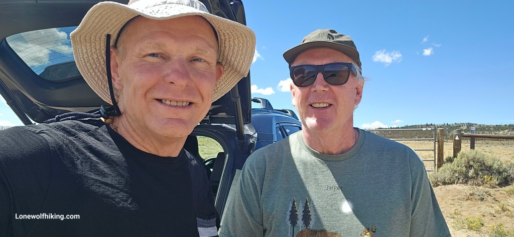
My uphill skiing pal Jim had graciously offered to make the five-hour (each way) drive from Steamboat to drop me on the CDT near South Pass City. Jim had completed the Great Divide Mountain Bike Route a couple summers ago and was always just as interested in my ongoing section hike of the CDT. Skinning up Mount Werner on the Steamboat resort was great off-season training and helped keep us both accountable in being ready for our respective summer adventures. The long ride was fun and seemed to have passed too quickly as we stopped at a barely noticeable gate alongside Highway 28. My excitement after almost a year of preparation & anticipation turned into hesitancy about whether I could do this. But it felt like this every year, and I knew I’d be fine once I just started to walk.
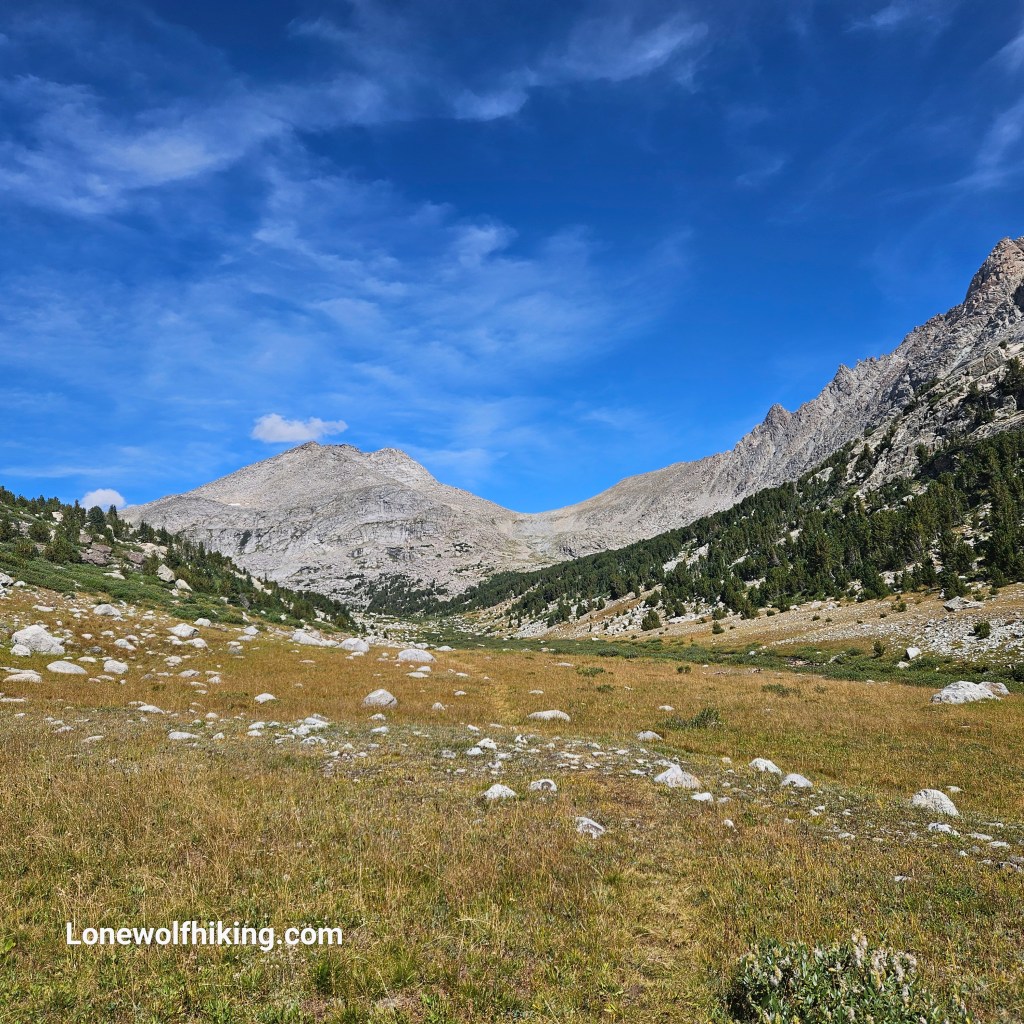
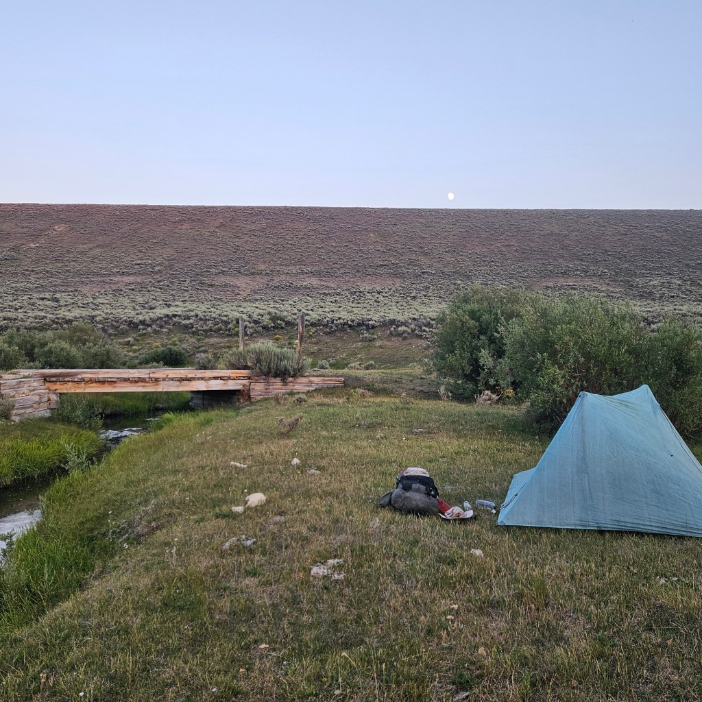
I realizing right away that I was hiking through the last of the Great Basin, having put off the 120 mile trek from Rawlins to South Pass City to another year after this winter’s crazy low snow pack. I wasn’t sure whether that was good rationale or just an excuse, and I felt like I was cheating a bit by not continuing on from Rawlins where I had left off last summer. In any case I’ll just have to go back to finish the Basin next summer. I was happy for some gentle terrain that first day and it was fun to meet a few SOBO thru-hikers. I settled into a nice campsite near a creek and a seasonal snowmobile trail. 8 miles wasn’t bad for a 1:30 pm start after working a graveyard shift and a long ride to trail.
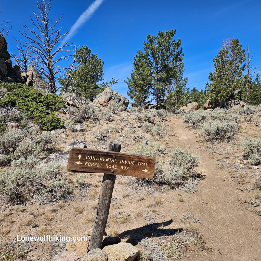
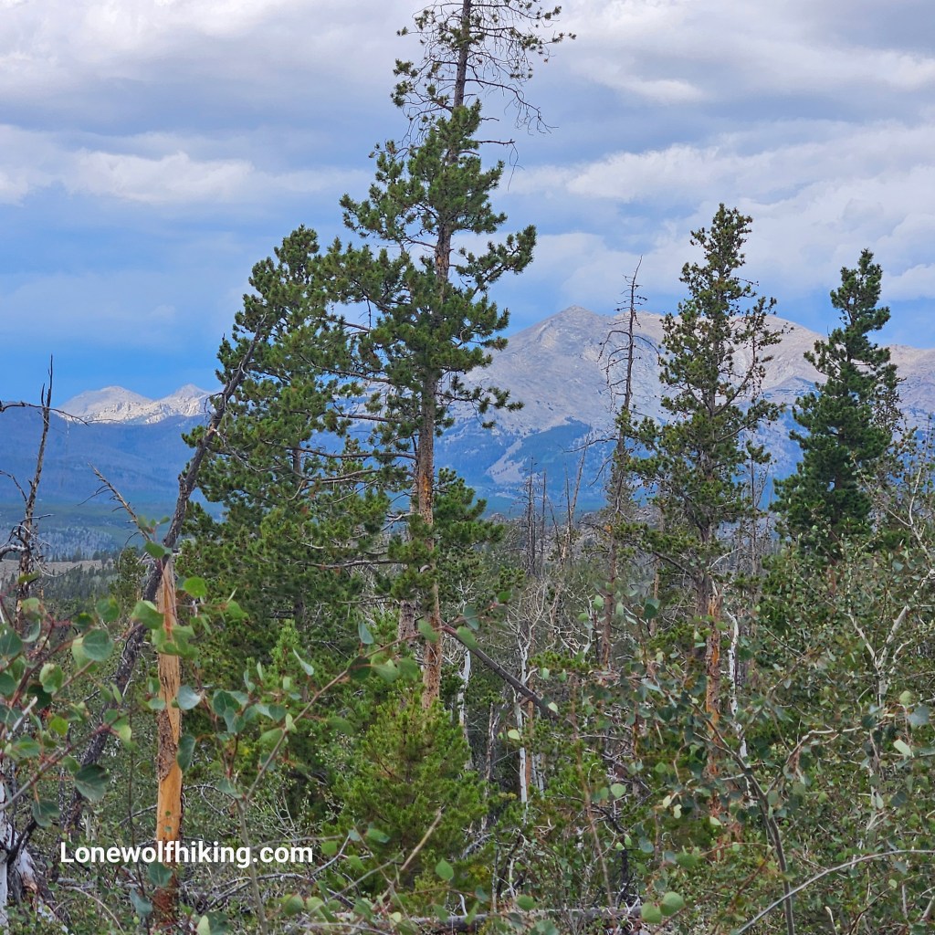
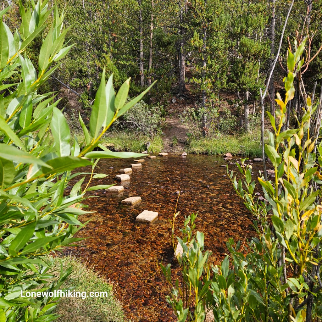
It was nice hiking in and out of the woods the next day. I visited with SOBO hiker Pain Seeker who was finishing the CDT after being injured last year, and he shared some good advice on the route off the CDT towards Pinedale. I was surprised to find a BLM campground ahead on FarOut. There were even stepping stones leading across the Sweetwater River to the campground. I met Turtle Tracks at the river crossing who correctly cautioned me that a couple of the stones were just a bit too far apart. The campground seemed too good to be true and checked all the boxes – no charge, right by the river, lots of open sites, picnic tables, bear lockers, pit toilets, and a trash dumpster.
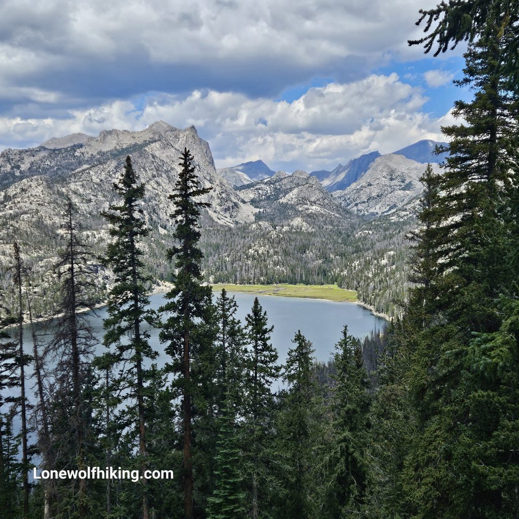
The next day I was excited and a bit nervous that I’d be entering the Cirque of the Towers alternate. Just about every CDT thru-hiker I had met over the years had told me this was the highlight of the trail. It was about 8 miles to alternate near Little Sandy, which didn’t look so little from above.
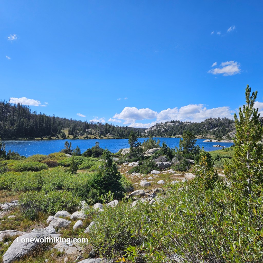
I found myself in a total bushwack almost immediately after entering the alternate. I missed the warning in FarOut comments not to rely on the app over the first .7 miles. Thankfully I heard the pair of women backpackers chatting across the drainage where FarOut had left me. I hiked to them to find a good trail. I had previously mapped the alternate in GAIA which turned out being correct, and I was frustrated I hadn’t trusted my GAIA route. I was relieved to find a nice established campsite a couple miles into the alternate, just past water at a little lake.
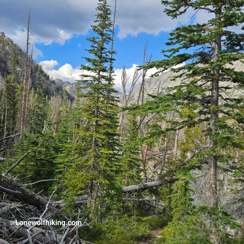
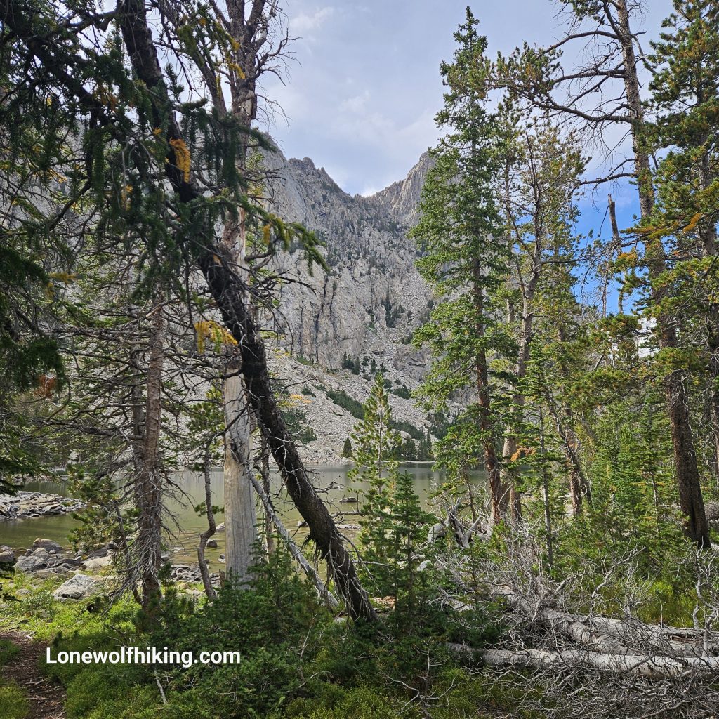
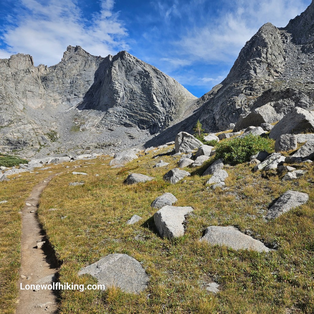
I started out slow the next morning, and looked ahead at the all the jagged peaks as I sat down to enjoy my cold coffee. I finally got moving and my first big climb up Temple Pass slowly came into view.
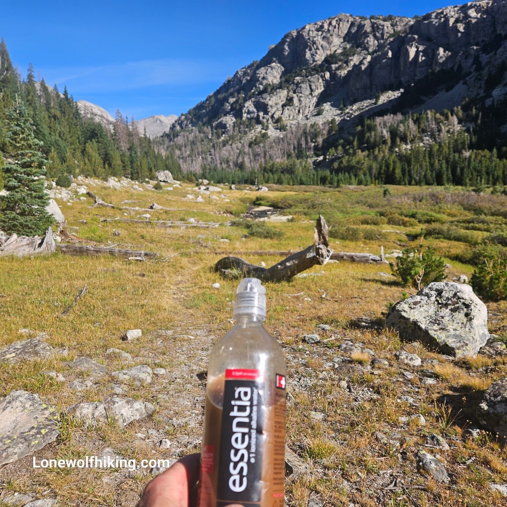
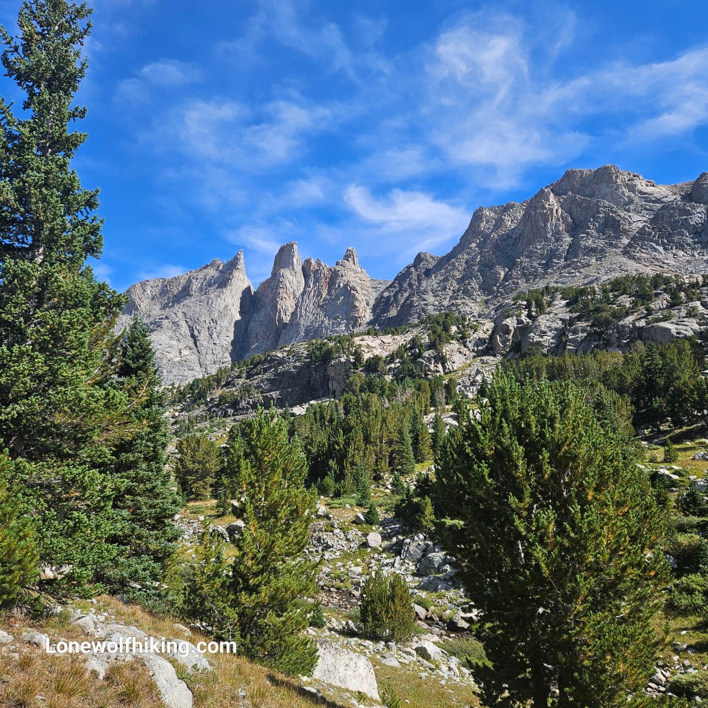
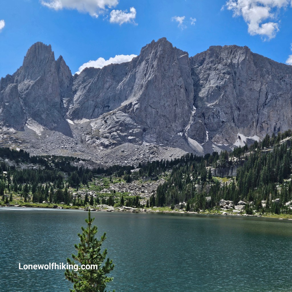
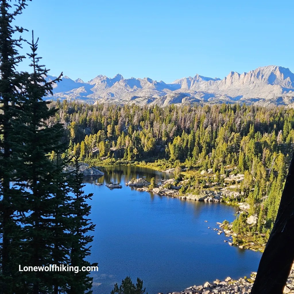
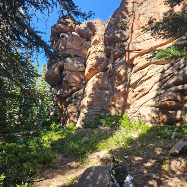
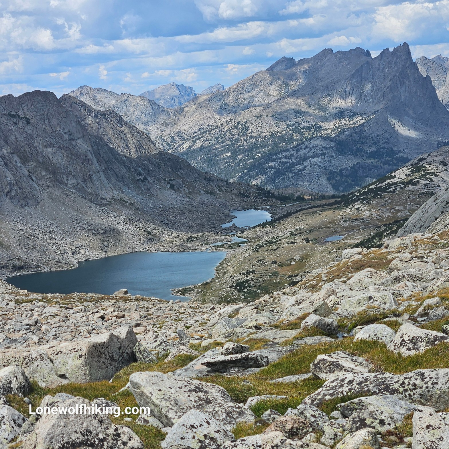
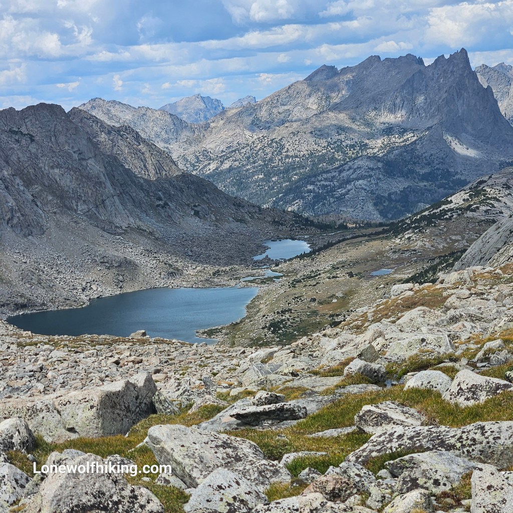
SOBO thru-hiker Long Story waited for me atop the narrow trail up Temple pass. We had a nice chat and I later realized I’d been following him on Instagram for the past couple years after hearing his story on a podcast. Beyond the pass I was rewarded with a pretty spectacular view of Temple Lakes with towering mountains in the background. I took an un-intended (and unnecessary) route across a challenging boulder field as I started my descent, but thankfully got through unscathed. I stopped for a scenic lunch by the lake and could hear (but not see) climbers on the rocky peaks above me.
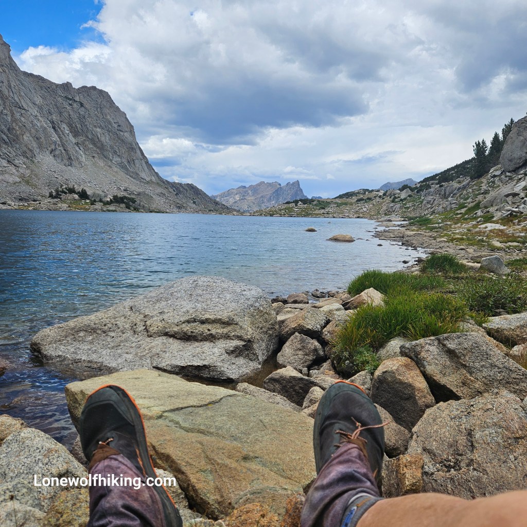
My In-reach accurately predicted a thunderstorm and I threw up my X-Mid tent quickly when I felt the temperature drop, just in time. After a long downhill past Big Sandy the trail led back up towards my planned campsite at North Lake. A group of faster and better route-finding young women passed me and claimed the last small campsite. Thankfully the group in the larger site were nice enough to share their camp with me – it was almost dark and I certainly didn’t have enough in the tank to hike the next pass.
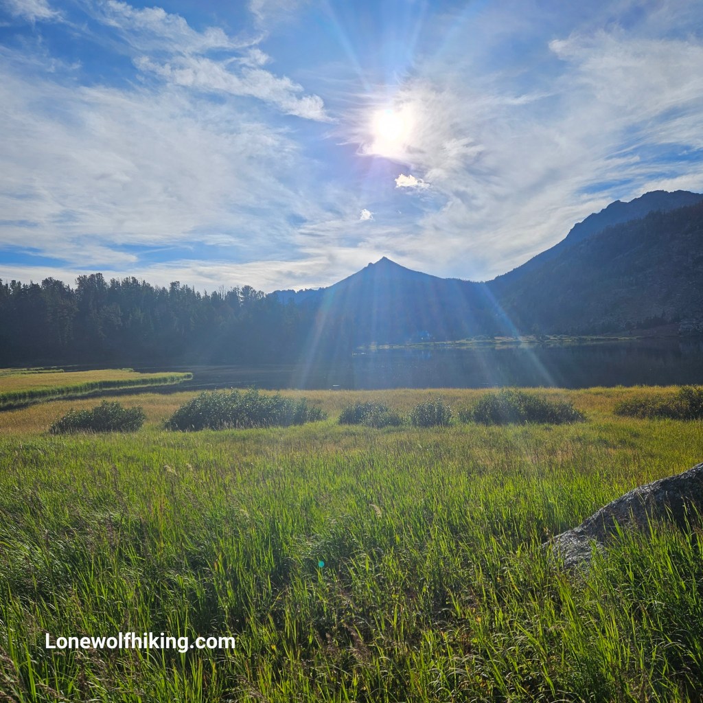
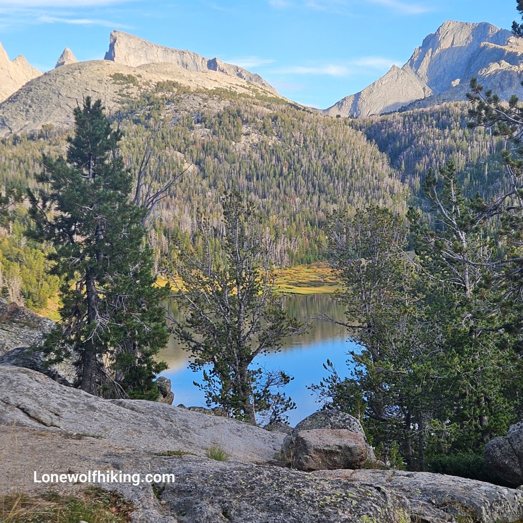
I got a late 9:00 am start and was a slog up the Big Sandy Trail over an unnamed pass, to start the real climb up Jack Ass Pass. I met a gang of a half-dozen female SOBOs who looked to be having a blast, and their friendly enthusiasm helped motivate me up the pass. I met Slide enjoying a hot lunch atop Jack Ass Pass, he noticed my rosary and we had a pleasant chat about our shared faith.
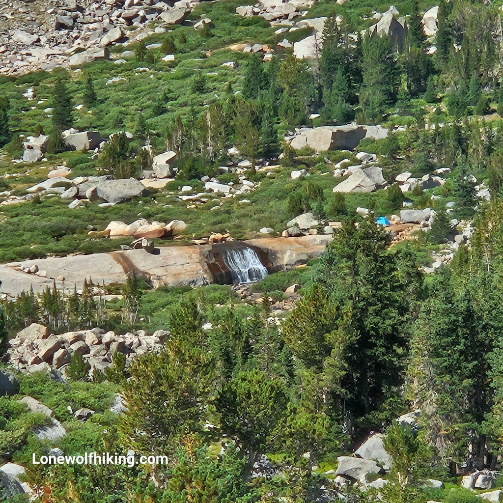
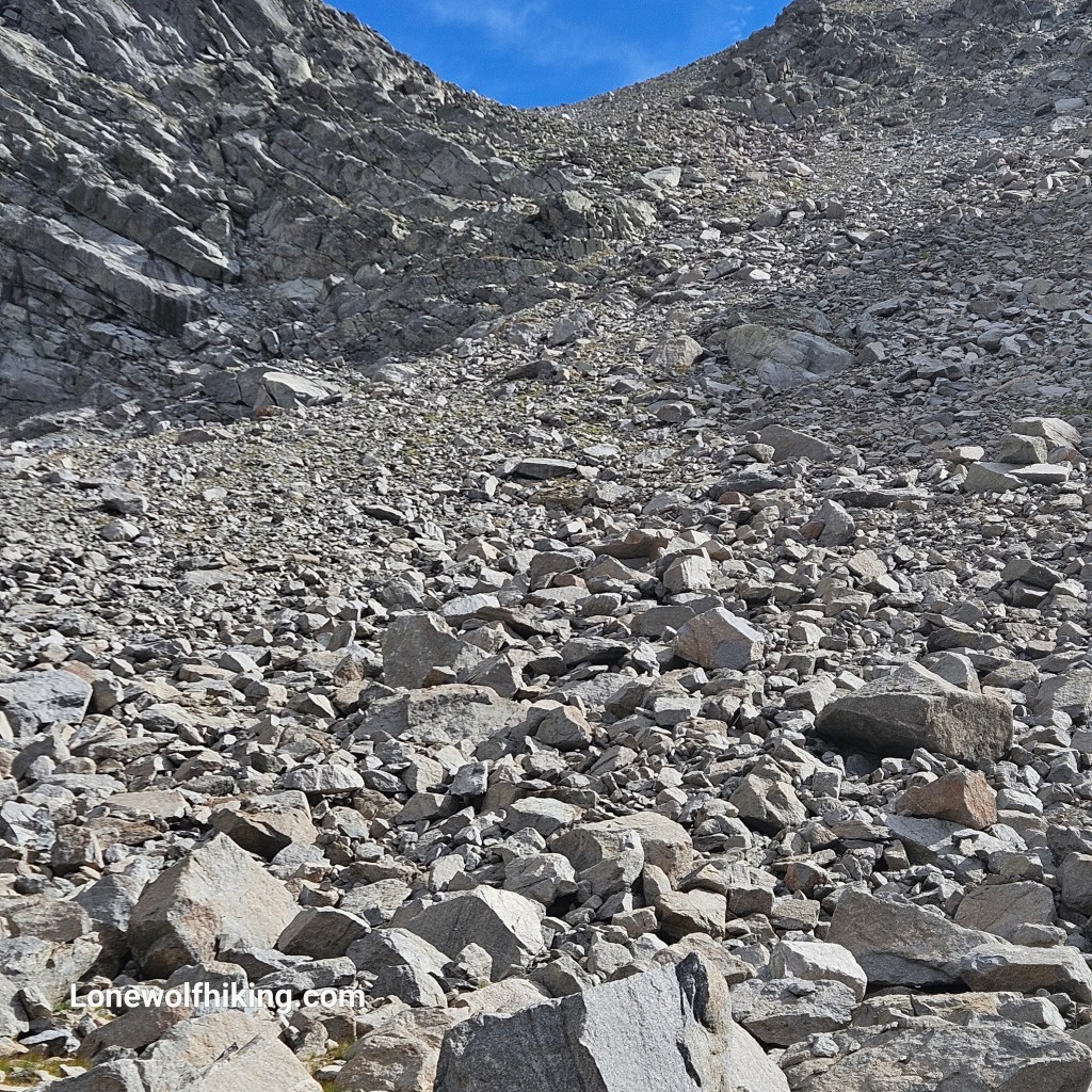
After hiking to the far side of Lonesome Lake I began the climb up Texas Pass. It was surprisingly steep and I lost the trail when I reached a burn scar, with even more sketchy footing. I was happy to hear some other downhill hikers to direct me back to main trail. I finally reached tree line but that was far from the top. I was happy to encounter some other encouraging hikers on the way up.
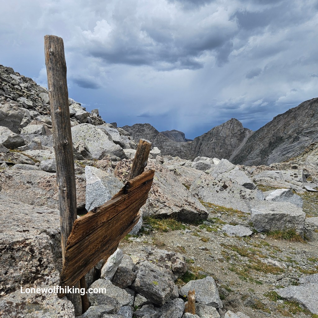
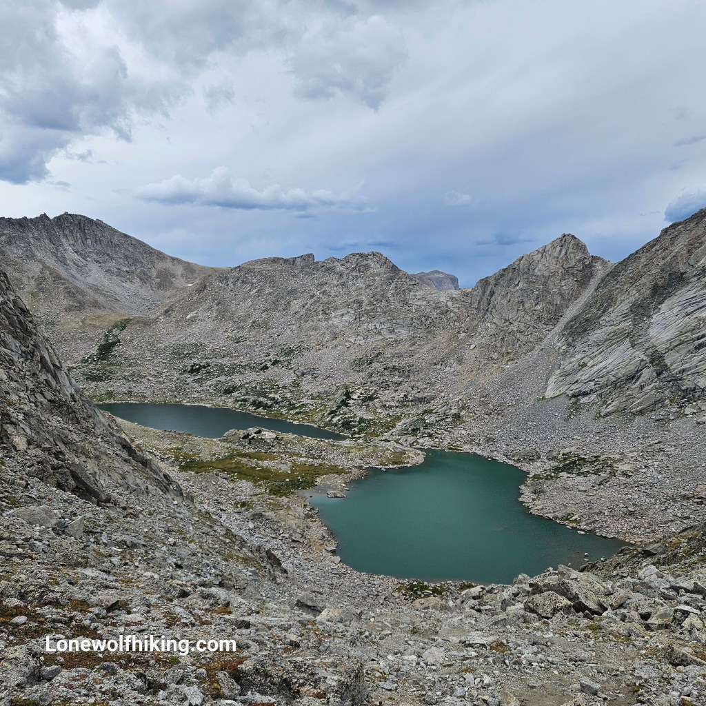
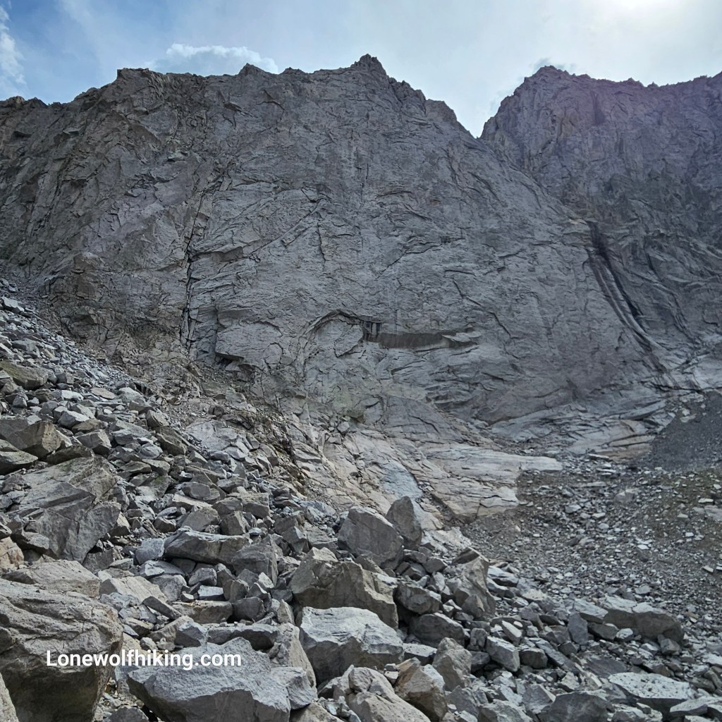
Several hikers had cautioned me to take it slow on the the way down the north side of the pass, as it turned out for good reason. It wasn’t technical but was a steep, rocky, choose your path descent. At the bottom I (of course) saw a trail runner easily picking his way from boulder to boulder up the climb.
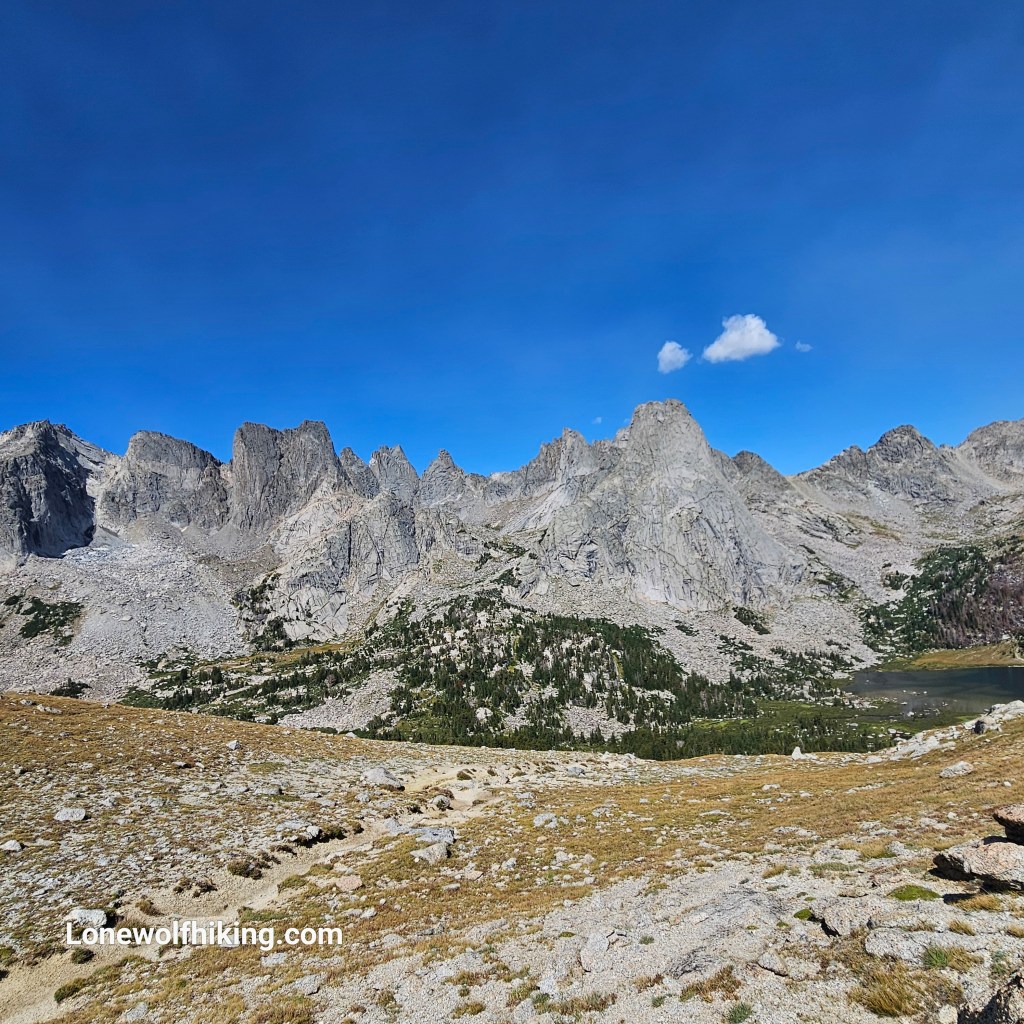
I finally reached camp in a long lovely meadow by a creek, looking back on the Cirque of the Towers and Texas Pass. I’d had a long, hard day and covered only 7 miles over 10 hours. But now looking back this was my best day of this hike.
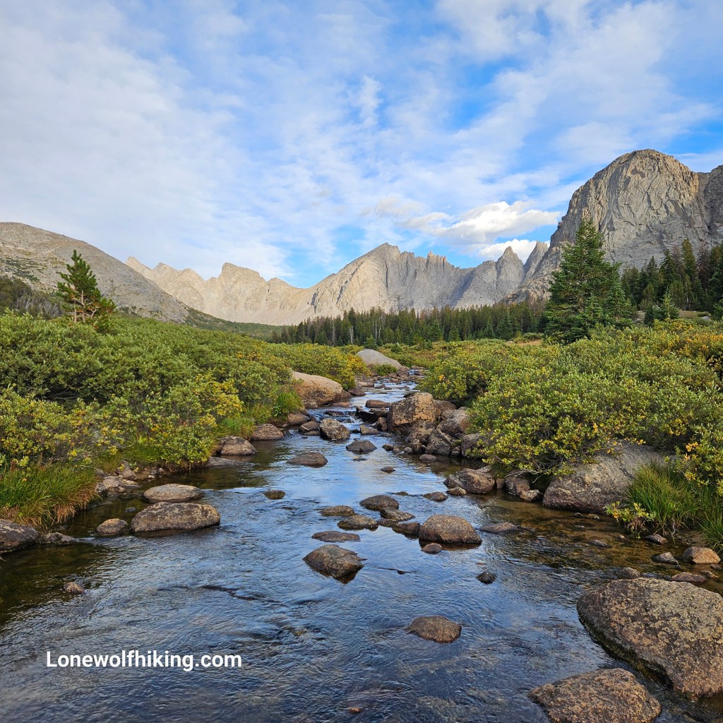
I needed to make up some miles after yesterday. I zoomed in on the backside of the Cirque and Texas Pass and it really was impressive. I think hiking SOBO into the the Cirque might be even better than the way I just came.
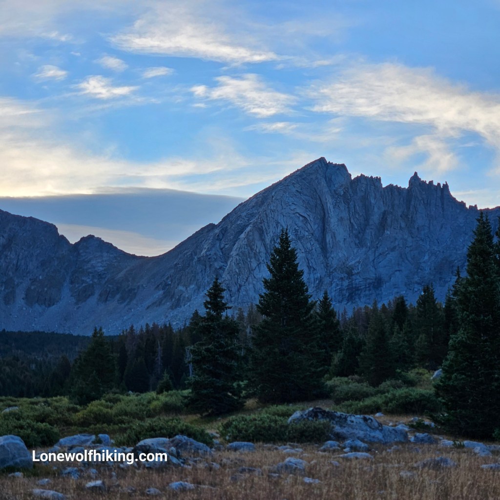
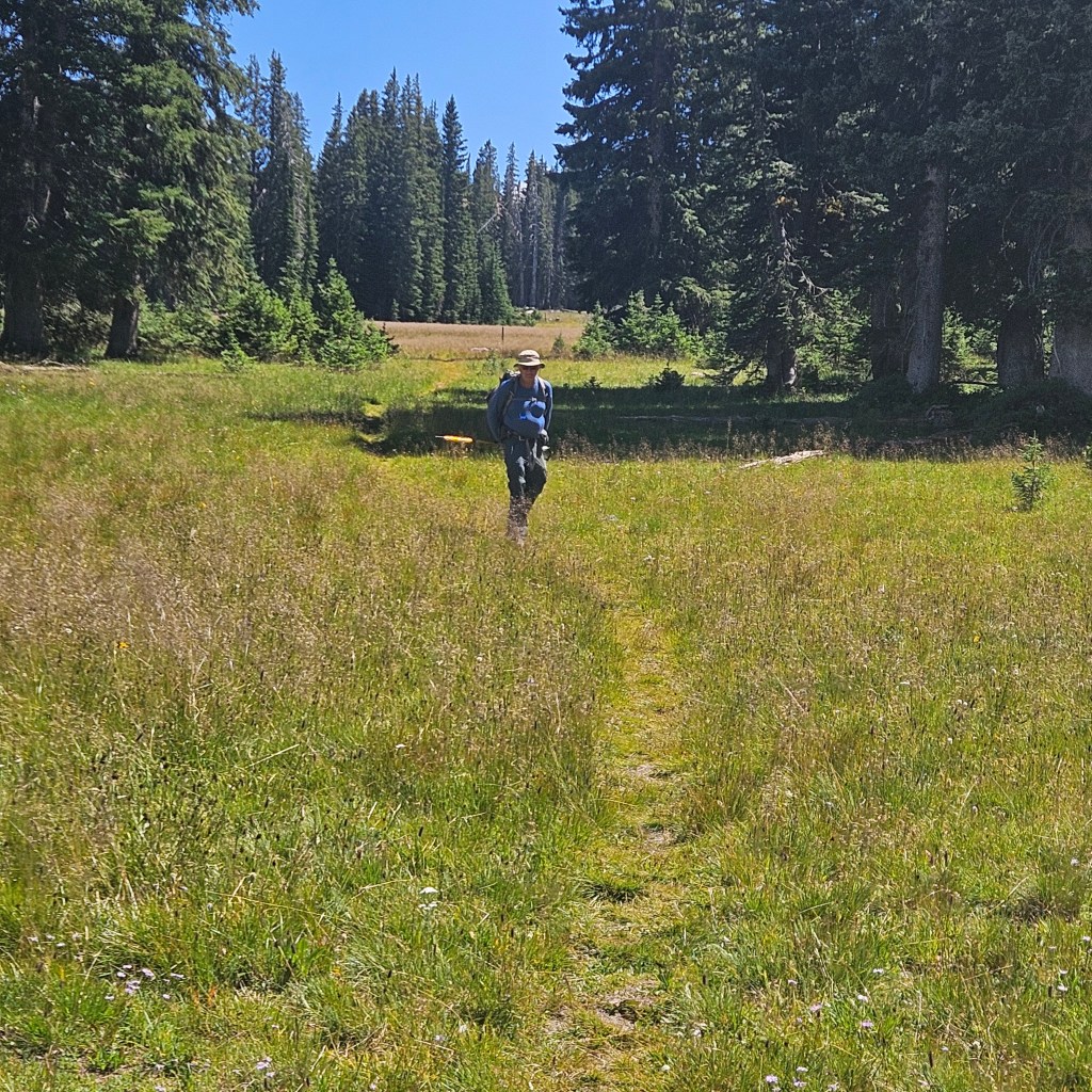
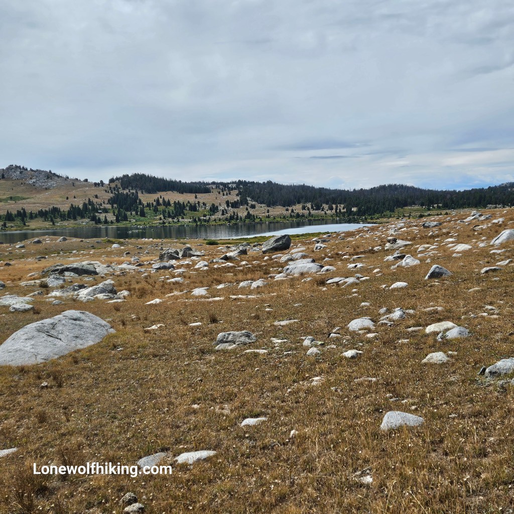
I had seen a lot more hikers and backpackers by the Cirque than expected, but this morning I only met SOBOs Kanga & George who had just entered the alternate from the north. I was was ready to rejoin the redline, and it was so nice to have a soft dirt trail to follow! I covered about 8 miles by 1pm and thankfully found a meadow to set up my tent and wait out a storm. I was glad the stormed had passed as I hiked up onto the tundra. I passed by lots of pretty lakes and chatted with Old Oriskany who was hiking Yellowstone to Breckenridge. It was fun to reconnect a couple weeks later when he passed through Steamboat with some of his SOBO pals.
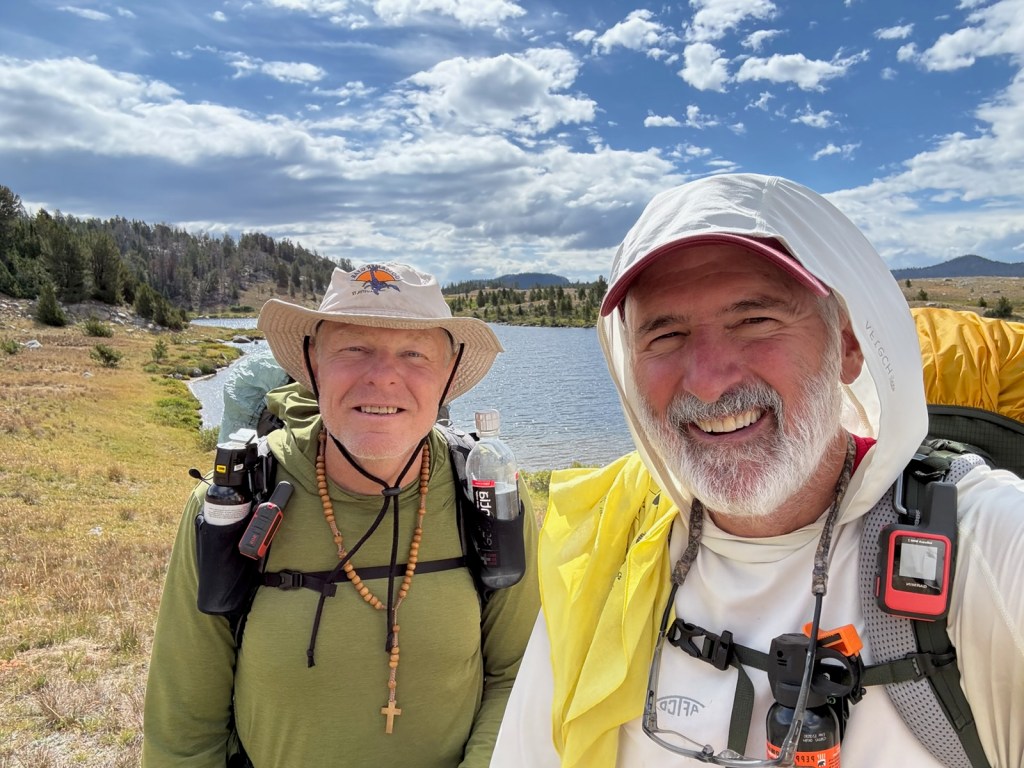
After a much better (and much needed) 17 miles I found good camping on rise between Pipestone Lakes just as the rain started up. The forecast called for rain the next day and I got an early start to get up and over Hat Pass. I met SOBO hiker Andreas from Germany who was waiting out the storm, with the most perfect X-Mid pitch I’d ever seen. I often set up my mine to wait out the rain but all the lightening-struck trees from prior storms encouraged me to keep moving up and over the pass.

I had hoped to make about 13 miles, to get within 10 miles of the Elkhart trailhead where my pals Art & Teresa were camped. But when I found nice campsite by a creek and a saw chance to set up my tent during a break in the rain, I pulled up short after just 8 miles for the day.
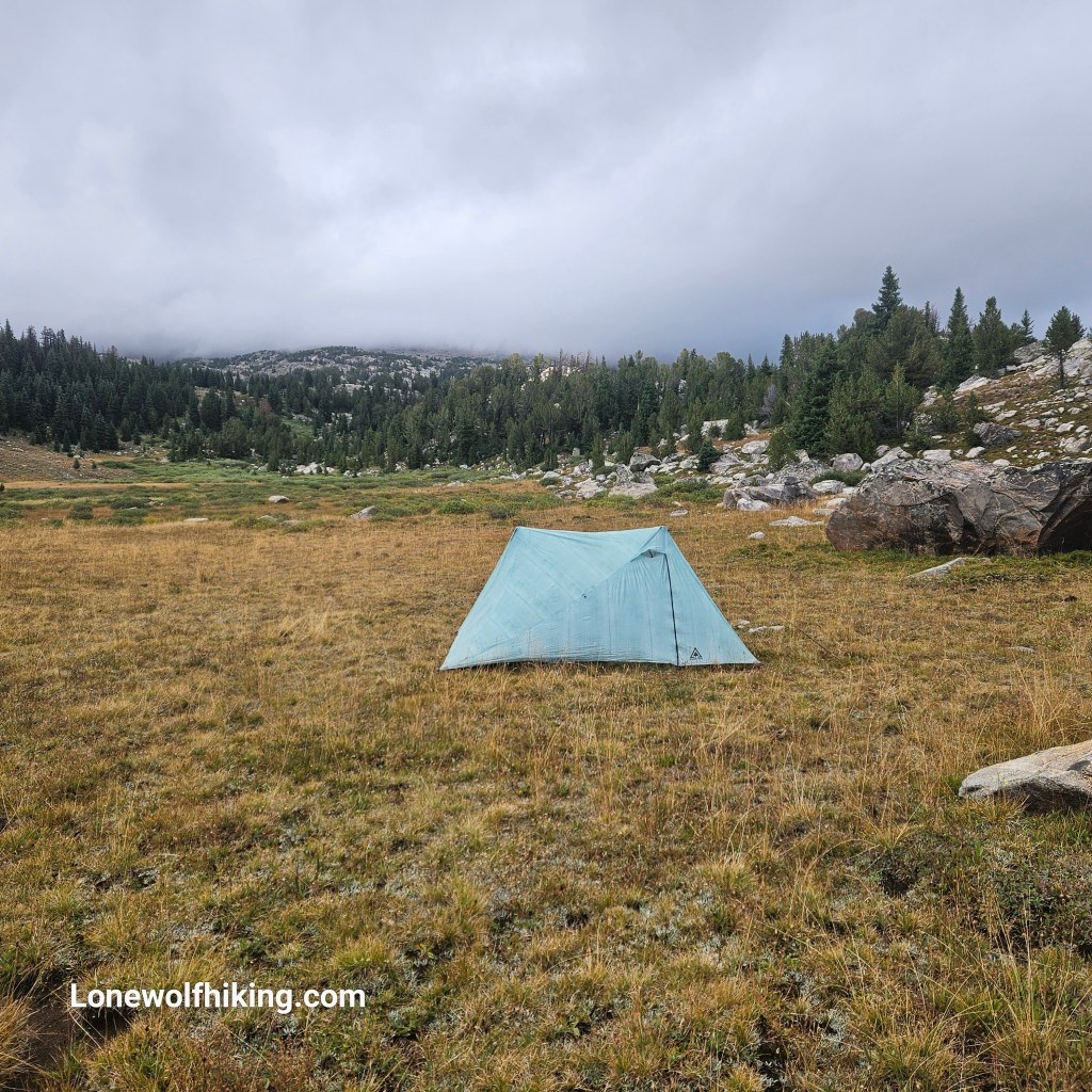
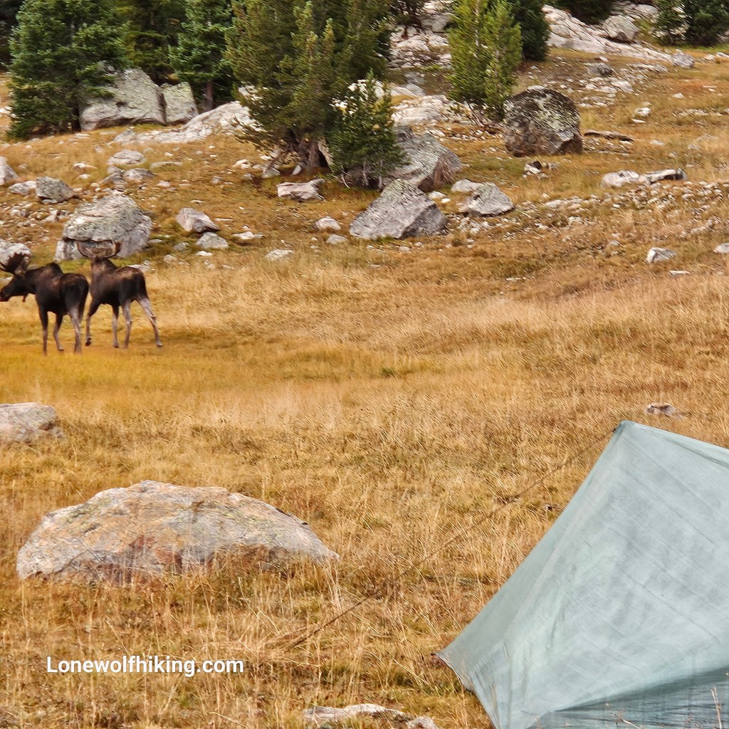
I ended up waiting out the storm all the next morning, frustrated I still had almost 16 miles left. Some moose wandered right past my tent and didn’t even seem to notice me. That time in the tent at least gave me time to find fully charge my headlamp and find a quicker route back to Elkhart. Shout out to Sheep Dog for leaving the super detailed route instructions in the FarOut comments.
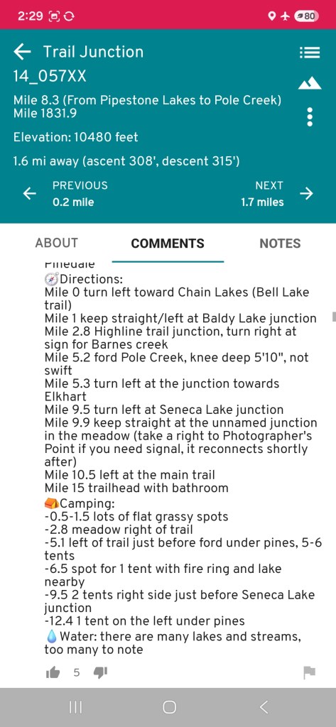
I finally got a break in the storm and left camp around 1pm. After about half a mile I reached the Bell Lake Trail, where I would exit the CDT with 15 miles left to Elkhart. I was thankful for a well-used trail and made good time. I was especially happy to have a spot where I could call my wife Maria in Mexico, the first time we’d talked in over a week. After a wide but shallow creek crossing at Pole Creek the trail weaved around several more lakes.
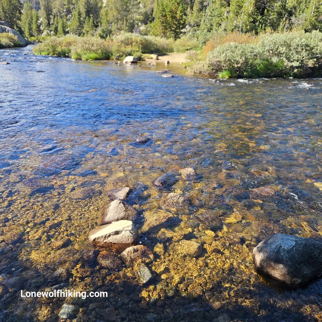
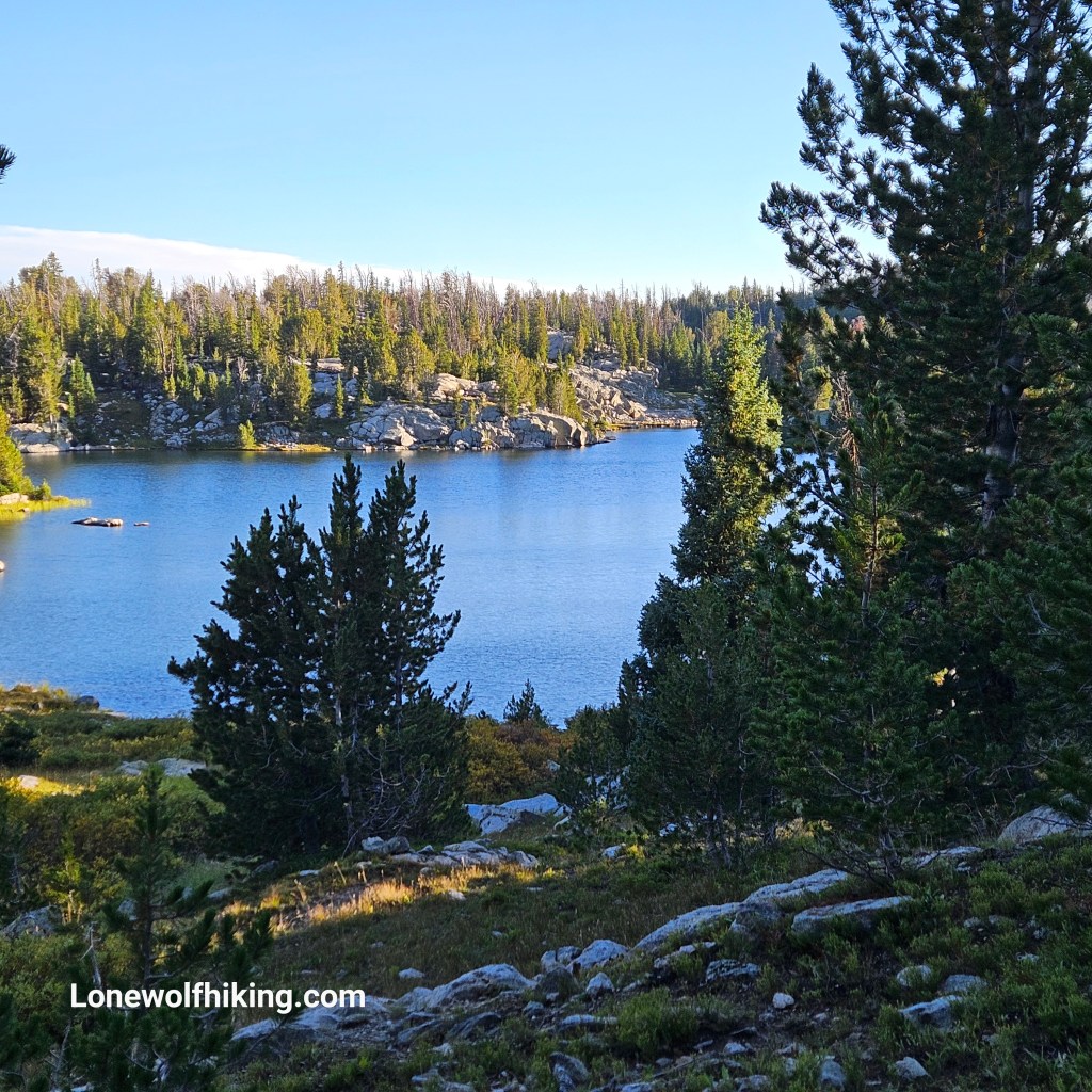
I passed through a seemingly endless series of drainages and finally reached the last trail junction just past scenic Elklund Lake. I had 5 miles to go and it was almost 7:30 pm. I sent Art an In-reach message that I had good all-downhill trail, a fully charged headlamp, and I was going to finish in the dark. After all the rain there were some super boggy sections, not ideal for a rushed pace, and I hyper-extended my calf on a stray log with about mile to go. I was a bit spooked with the random unidentified howling sounds in the dark and passed by some bear skat for just the second time this hike. I broke trail etiquette by playing music on my phone at max volume. Finally I could see some lights and even a set of headlights below. I suspected it was Art, and was not surprised to find him waiting at the trailhead.

This hike had been all I could handle. I told Art & Teresa that it was probably a bad decision to finish in the dark in the outskirts of possible grizzly country, and won’t do that again. Teresa knows this area well, and emphatically nodded in agreement. As meaningful as this hike was, I think the best part was feeling truly blessed to have such good friends who had offered to bring me all the way to and from trail in support of my adventure.

CDT-CO: Seedhouse Campground to Rawlins (Aug 1-9, 2025) 125 miles

Thankfully my buddy Art is able to join me most years to hike a section of the CDT. It’s handy that he lives in North Routt County and his wife Teresa was kind enough to drop us at the modest trailhead near the Seedhouse Campground. She had left us at the same spot a couple years earlier for our southbound section hike on the CDT to Buffalo Pass. We let a pair of already well-conditioned NOBO thru-hikers go by as we started our hike, and we leap-frogged them a few times that day.

About ten miles in I started to get some intense right ankle pain and had to stop every mile or less the rest of the day. I was already wondering if I could even make the 42 miles to Battle Pass, let alone the distance to Rawlins and beyond. We also had a bit more climbing than expected but still managed 14 miles for the first day. Art spotted a nice little meadow to camp at that was mostly clear of widow maker beetle-killed trees. We stopped at a slow-trickling creek about a mile before camp, and I later regretted not having had the patience to fill a couple more liters there. We had met Volcano, a SOBO section hiker from the UK who hinted at trail magic ahead, but we weren’t sure how far that was or what to expect.

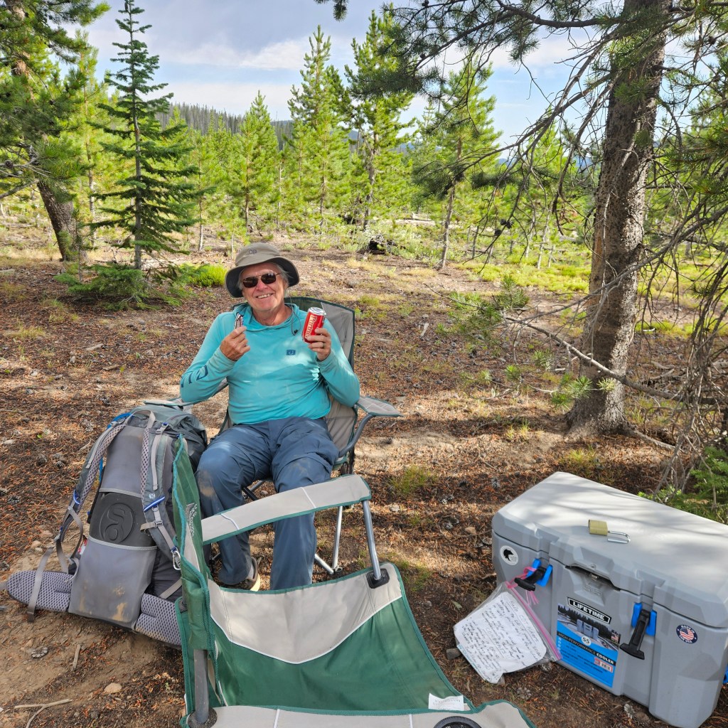
The next morning were very happy to see a pair of large coolers with a nice drink selection and some snacks, even my favorite Butterfinger, after the first mile. We each took a single bottle water to go, wanting to make sure we left plenty for other hikers. FarOut comments indicated a still-flowing water source at the Wyoming border.

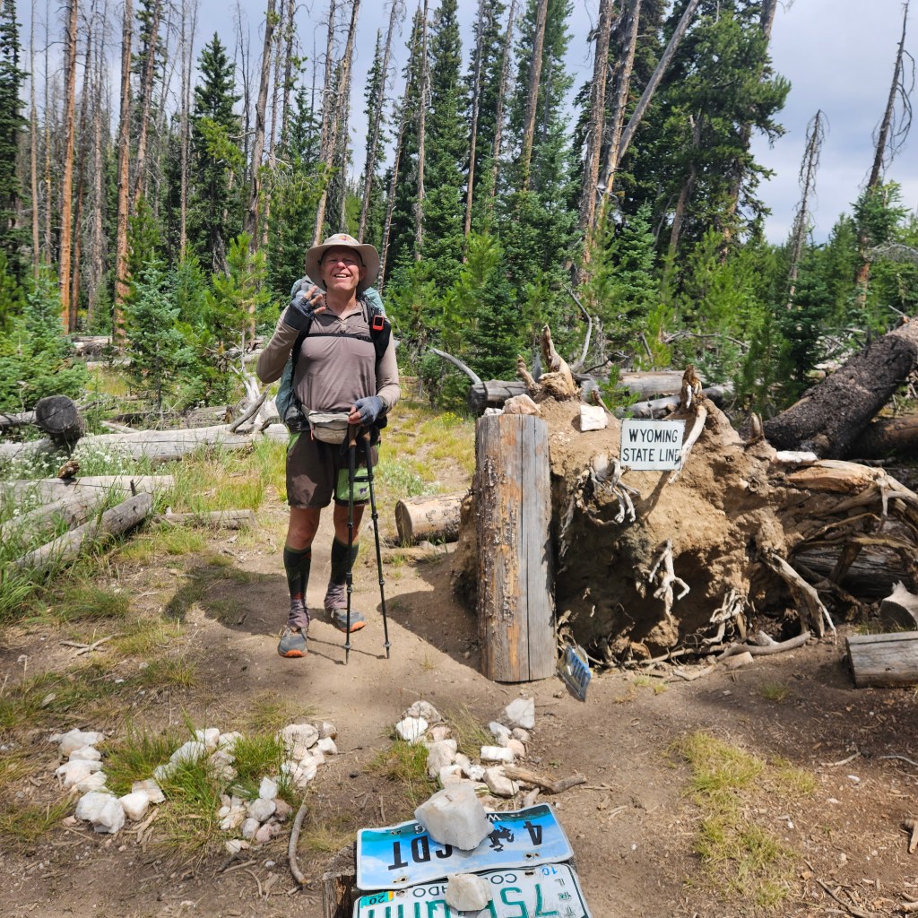
I’ve been section hiking the CDT in Colorado since 2021 and it felt good to finally cross into another state. That day, August 2, also happened to mark an anniversary milestone in my addiction recovery journey. Unfortunately the only water source we found near the state line was super shallow and muddy, but I was at least able to filter about a quarter liter. The next water source at Whiskey Creek was a couple miles ahead and turned out to be even muddier. We lost probably an hour as I waded my way into the bog and tried filtering from the mud. As usual Art talked some sense into me, worst case we’d just have to hike another 7 or 8 miles for more certain water. Art led the way through the bog, then suddenly stopped and turned around with his signature grin. A couple of wood blocks had been imbedded on either side of the trail, allowing clear water to collect there. We joyfully filled up our water bottles with relief.

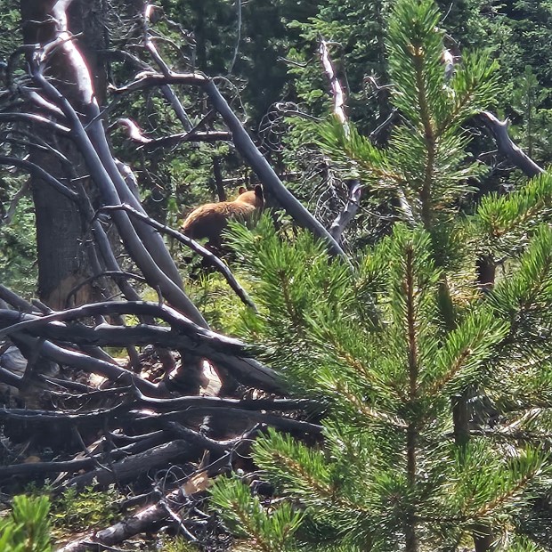
Art had already done the math and realized if we kept our 14 mile-a-day pace we could make it to Battle Pass by tomorrow afternoon, in time to meet Teresa on her birthday. He led the way and was out of sight, then marched back towards me with his poles in the air. He and a bear had surprised each other on the trail. We slowly went back up the trail together until I saw what at first looked like a mom & cub in the woods. After taking a good look, we could see it was just one really big bear that was now thankfully walking away.

It seemed like a full day already when we heard some thunder in the distance and could see dark clouds ahead. Then we felt a sudden, familiar chill in the air and decided to set up my X-Mid to wait out the storm. After lots of practice escaping last summer’s monsoon storms in the San Juans, that tent sets up fast. We crawled in just as the heavy rain and a bit of hail started. It didn’t keep up long but we were happy to have stayed dry.

I had started taking ibuprofen that morning and then again early afternoon, and that seemed to keep my ankle pain tolerable the rest of the day. I repeated this daily ibuprofen routine for the rest of the hike, realizing I had skipped my annual series of manual physical therapy ankle treatments this summer.

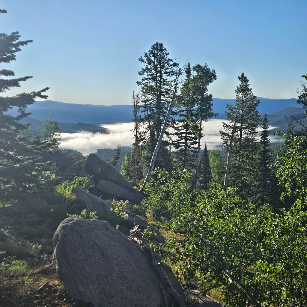
We were headed downhill with a mile or two left to reach our 14 for the day when we saw a van parked alongside a dirt road. I tall fellow came out and happily waived us over. We met Lorax who shared some fresh cherries and trail insights with us. He’s a trail maintainer volunteer, and said he had built the water collection feature in the bog that we had enjoyed earlier. He let us know there was good camping “just up the hill”, but we started to get skeptical after a hard uphill mile. Then Art saw a good flat spot with nice view of Hogg Park Reservoir. That nice view turned spectacular as fog blanketed the lake the next morning.

Lorax had mentioned that we’d be hiking through a rain forest the next day, and the lush terrain was a nice trade-off for the seemingly all-day climb towards Battle Pass. We meet a trio of NOBO thru-hikers as we filled up water at a shady creek crossing. One of them noticed I carried a St. Bernard medallion on my pack, and showed me the same medallion on a hand-woven yucca necklace that an artisan had gifted her in New Mexico. They were convinced the patron saint of hikers had helped them through some challenges on their hike.

Water was plentiful all day, and we criss-crossed several natural canals winding through the bogs. Some had bridges built across them with heavy wooden beams, and additional piles awaited future construction. We wondered how these had been transported, then we saw horse rider leading a mule, carrying several beams strapped on each side. About a mile later, an anxious little dog came running towards us, then turned around as he obviously wanted to lead us back up the trail. We followed him to his owner, another single rider whose mule had lost his load of beams. He nodded and answered a somber, “Yep” when Art asked if he needed help. He directed us on loading the beams back onto his mule as he strapped them into place.

Lorax met us a couple miles from Battle Pass, thinking we might need a ride to town. He shared some fascinating tales of vampires and the Krill people on the way to the trailhead. Another hiker caught us, and he got a ride with Lorax. We were very happy to see Teresa waiting for us at the small parking lot with some snacks and cold drinks, along with my resupply box.

I rented a room at the updated and comfortable Pine Lodge in Encampment, and they kindly offered me access to their laundry room. The agent recommended the Divide restaurant right next door, and we enjoyed an upscale burger there. Art & Teresa invited me to join them at the nearby Hippy Hot Springs, and I later regretted not going. I had a nice talk with my wife Maria in Mexico who really, really wanted me to get back for us to spend some more time together in her town. That re-affirmed my decision to end this year’s trek at Rawlins.

The 307 restaurant served a nice breakfast the next morning, and I went back for lunch as I procrastinated my return to trail. Local diners grinned knowingly as some trail-ripe hikers came in and were quickly directed out to the covered patio. The hitch back to trail was surprisingly easy, as there was a bench seat at the highway intersection and the first car picked me up.

Downtown Encampment

I usually struggle to get back on trail after a night in town, and I got a late start. The road climbed about five miles towards Bridger Peak. The trail broke off around the summit, then flattened out as it rejoined the road. I didn’t see any hikers that day, just a couple of side-by-sides and lots of sheep. FarOut comments had mentioned some decent water puddles along the road, but I was skeptical with all the sheep. I finally found a little deeper puddle without too much sheep poo and it filtered ok. I managed about 10 miles, and thankfully the last couple were downhill. The FarOut comments accurately directed me to a nice flat camping spot.

I was happy to find a decent creek to fill up water in the first mile the next morning. I could see the woods disappearing behind me although there was a lot more climbing than expected as I entered the Great Basin. After about 16 miles there was a perfect grassy campsite alongside the North Fork of Savery Creek.

The next day was a grind, and I didn’t see a soul that day. I filled up my 3 liter Cnoc bag at the piped spring, and decided against taking the bushwack short cut which might have saved a couple miles. After about 18 miles I camped at a little parking area near Muddy Creek. Someone had made a little dam in the creek with clear water flowing over, so I used that and saved my water from the spring. I realized that night that sleeping alongside a lonely dirt road is way more spooky than camping alone in the woods.

A NOBO thru-hiker named Stix walked by the next morning as I broke camp and it was nice to have a little chat with someone. Later that day I met SOBO hiker Firehusband, who shared the good news that there’s a flowing spring up the hill the from recreation area, about 10 miles before Rawlins. That meant I didn’t need to lug around all that extra water the last day. I think I unwillingly carry the expression of a suffering hiker on trail, and some super nice father & son fishermen stopped on the road to give me a cold water, Gatorade, & spicy McChicken. I stopped at a murky pond to fill up a liter when I saw Stix and met her companion Sky High. When I saw them together I realized they were the same couple who passed us at the Seedhouse trailhead back in Colorado. They might have been better off had I not told them about my lucky trail magic from the fishermen. But that bit of kindness helped get me to 20 miles as I reached another murky pond to camp by on my last night.

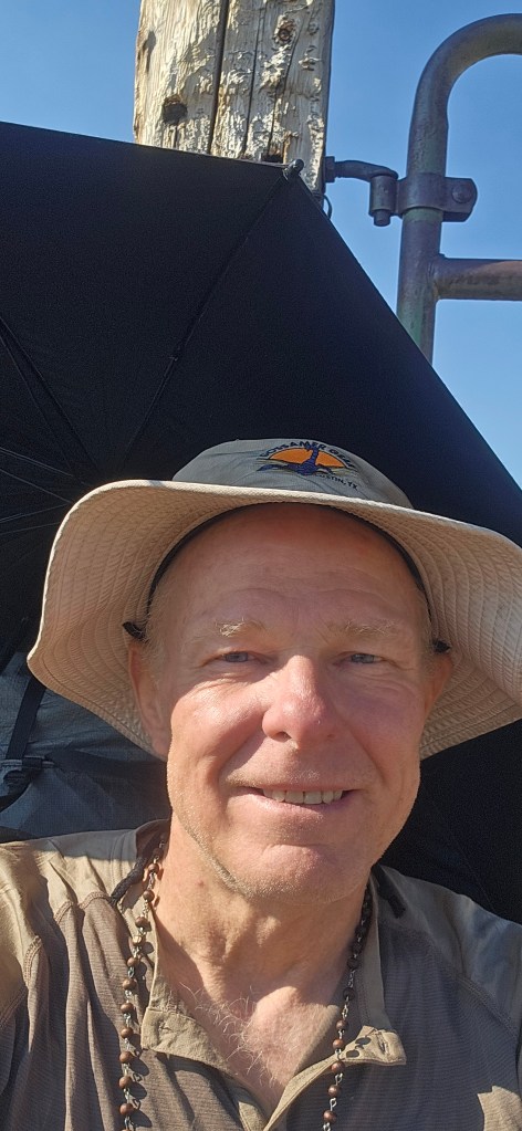
I had enjoyed a gentle wind most the of week, which at least psychologically mitigated the heat. I brought a sun umbrella which I quickly discovered is pretty useless in the wind. But when I set up camp that last night the wind became violent, and was not kind to my X-Mid as I tried staking down the corners and doors. The next morning was calm as I got up for an early start, and the murky pond was stunning at sunrise.

Stix & Sky High had camped on the other side of the lake, and they passed me when I stopped to filter the piped spring water I’d been carrying. They mentioned they were taking a shorter route to town on the road, but I stuck to the redline as I would need to refill at the natural spring Firehusband had told of. I was soon very relieved to be alone in the sagebush as I had no cover when that 3-day old spring water attacked my insides without warning. I hiked as fast as I could those next 7-8 miles, with many surprise stops along the way. I had not seen any rattlesnakes and was especially glad to not see any that day with all my detours off trail. I finally reached the vault toilets at the recreation area, and they were clean and stocked with TP. Water in the nearby murky lakes did not look appealing given my current condition.

From the recreation area it’s a steep climb up the trail where it passes the by the natural spring. There’s no marking to the spring, so I had to take a surprise bushwack to find it. But I was pretty desperate for some decent water and was able to collect the water as it flowed out from the rocks. I still had close to 10 miles left to Rawlins, and as a I got closer to town there was no place for an emergency stop. The redline winds through a residential area then into downtown, and I finally made it to Bucks Sports Grill in Rawlins with no time to spare. I was also starving by now and they serve a nice-sized cheeseburger. I settled into the hiker friendly Brickyard Inn for the night. I had planned to take the Greyhound to Denver then the Bustang back to Steamboat. It turned out Art & Teresa needed to take a trip to Cheyenne (I think maybe they just wanted to make sure I had a way back), so I ended up with an easy and fun ride home.